Estimated Value: $93,741 - $155,000
--
Bed
2
Baths
1,856
Sq Ft
$64/Sq Ft
Est. Value
About This Home
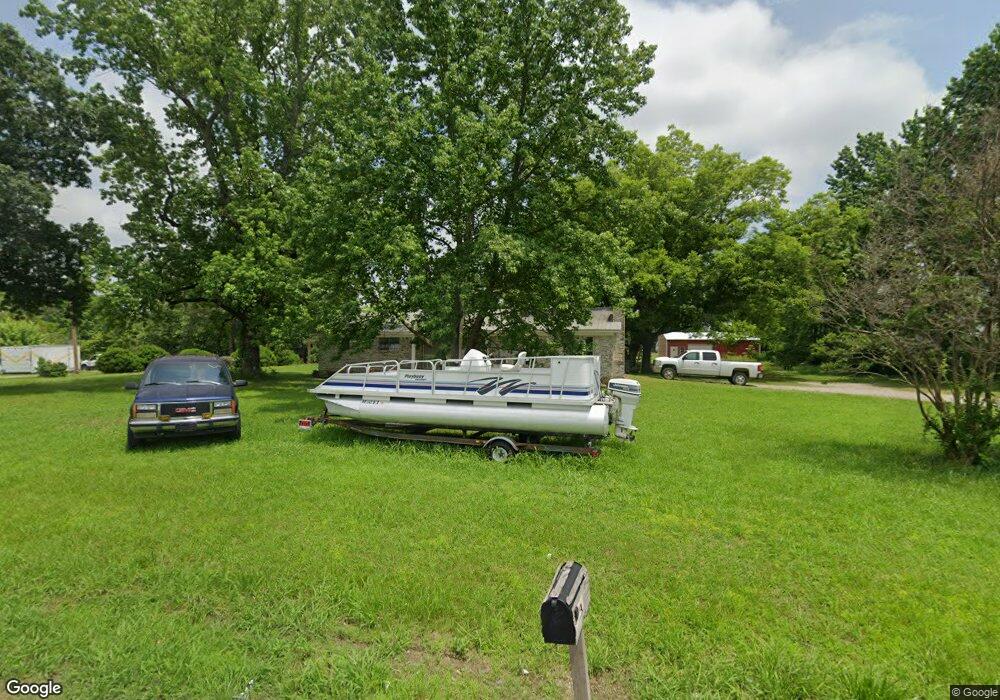
This home is located at 8450 Cord Rd, Cord, AR 72524 and is currently estimated at $119,247, approximately $64 per square foot. 8450 Cord Rd is a home located in Independence County with nearby schools including Cord-Charlotte Elementary School and Cedar Ridge High School.
Ownership History
Date
Name
Owned For
Owner Type
Purchase Details
Closed on
May 12, 2016
Sold by
Montague Shirley
Bought by
Montague Michael
Current Estimated Value
Purchase Details
Closed on
Mar 2, 2009
Bought by
Montague Jack and Shirley Montague
Purchase Details
Closed on
Jul 30, 2008
Sold by
Not Provided
Bought by
State
Purchase Details
Closed on
May 9, 2008
Bought by
State
Purchase Details
Closed on
Nov 17, 2005
Sold by
Fraser Jay
Bought by
Montague Jack
Purchase Details
Closed on
Nov 19, 2004
Sold by
Montague Shirley
Bought by
Montague Jack
Purchase Details
Closed on
Oct 29, 2001
Bought by
Montague Matthew Ward and Shelley Montague
Purchase Details
Closed on
Jul 14, 1992
Bought by
Ward Fred
Create a Home Valuation Report for This Property
The Home Valuation Report is an in-depth analysis detailing your home's value as well as a comparison with similar homes in the area
Home Values in the Area
Average Home Value in this Area
Purchase History
| Date | Buyer | Sale Price | Title Company |
|---|---|---|---|
| Montague Michael | -- | None Available | |
| Montague Jack | -- | -- | |
| State | -- | -- | |
| State | -- | -- | |
| State | -- | -- | |
| Montague Jack | -- | -- | |
| Montague Jack | -- | -- | |
| Montague Jack | $65,000 | -- | |
| Montague Jack | $65,000 | -- | |
| Montague Matthew Ward | $45,000 | -- | |
| Ward Fred | -- | -- | |
| Montague Jack | -- | -- |
Source: Public Records
Tax History Compared to Growth
Tax History
| Year | Tax Paid | Tax Assessment Tax Assessment Total Assessment is a certain percentage of the fair market value that is determined by local assessors to be the total taxable value of land and additions on the property. | Land | Improvement |
|---|---|---|---|---|
| 2025 | $139 | $13,650 | $1,280 | $12,370 |
| 2024 | $204 | $13,650 | $1,280 | $12,370 |
| 2023 | $279 | $13,650 | $1,280 | $12,370 |
| 2022 | $329 | $13,650 | $1,280 | $12,370 |
| 2021 | $329 | $13,650 | $1,280 | $12,370 |
| 2020 | $393 | $13,650 | $1,280 | $12,370 |
| 2019 | $240 | $13,150 | $1,010 | $12,140 |
| 2018 | $265 | $13,150 | $1,010 | $12,140 |
| 2017 | $615 | $13,150 | $1,010 | $12,140 |
| 2016 | $615 | $13,150 | $1,010 | $12,140 |
| 2015 | $615 | $13,150 | $1,010 | $12,140 |
| 2014 | $624 | $13,340 | $930 | $12,410 |
Source: Public Records
Map
Nearby Homes
- 787 Lower Lockhart Rd
- 105 Walden Rd
- 1280 Walnut Grove Rd
- 5 Summerset Ln
- Summerset Ln
- 1962 Upper Lockhart Rd
- 1962 acres Upper Lockhart Rd
- 6118 Cord Rd
- 5980 Cord Rd
- 5976 Cord Rd
- 14 Law 351
- 401 Weaver Ln
- 400 Weaver Ln
- 183 Law 352 Strawberry
- 6820 White Dr
- 1165 Old Camp Rd
- 195 Cee Jay Ln
- 00 Kirby Ln
- 6270 White Dr
- 127 Lawrence Road 335