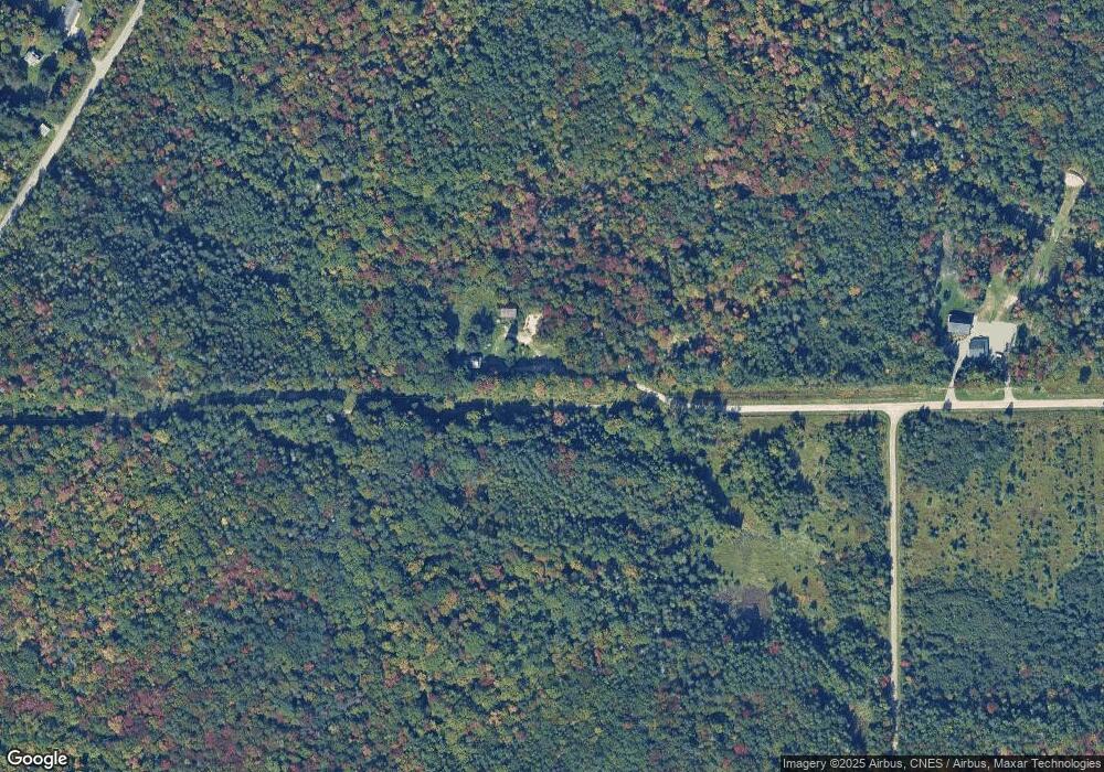
8450 E Seppi Rd Sault Sainte Marie, MI 49783
Estimated Value: $207,000 - $285,000
3
Beds
1
Bath
1,120
Sq Ft
$212/Sq Ft
Est. Value
About This Home
This home is located at 8450 E Seppi Rd, Sault Sainte Marie, MI 49783 and is currently estimated at $237,845, approximately $212 per square foot. 8450 E Seppi Rd is a home with nearby schools including Lincoln School, Sault Area Middle School, and Sault Area High School.
Ownership History
Date
Name
Owned For
Owner Type
Purchase Details
Closed on
Nov 10, 2020
Sold by
David Guisbert
Bought by
Laundy Kevin W and Laundy William Kaden
Current Estimated Value
Create a Home Valuation Report for This Property
The Home Valuation Report is an in-depth analysis detailing your home's value as well as a comparison with similar homes in the area
Home Values in the Area
Average Home Value in this Area
Purchase History
| Date | Buyer | Sale Price | Title Company |
|---|---|---|---|
| Laundy Kevin W | $99,500 | -- |
Source: Public Records
Tax History Compared to Growth
Tax History
| Year | Tax Paid | Tax Assessment Tax Assessment Total Assessment is a certain percentage of the fair market value that is determined by local assessors to be the total taxable value of land and additions on the property. | Land | Improvement |
|---|---|---|---|---|
| 2025 | $2,181 | $68,100 | $0 | $0 |
| 2024 | $552 | $56,900 | $0 | $0 |
| 2023 | $2,024 | $46,800 | $0 | $0 |
| 2022 | $2,024 | $40,800 | $0 | $0 |
| 2021 | $1,988 | $40,500 | $0 | $0 |
| 2020 | $1,845 | $39,800 | $0 | $0 |
| 2019 | $1,810 | $37,000 | $0 | $0 |
| 2018 | $415 | $35,200 | $0 | $0 |
| 2017 | $406 | $33,100 | $0 | $0 |
| 2016 | $408 | $33,600 | $0 | $0 |
| 2011 | $432 | $36,900 | $0 | $0 |
Source: Public Records
Map
Nearby Homes
- 1314 S Brasser Rd
- 9613 E Northshore Dr
- 000 N Brasser Rd
- 2537 S Niskanen Ln
- WF N Westshore Dr Unit WF
- WF N Westshore Dr
- 3411 S Lake George Rd
- 10 acres 1 2 Mile Rd
- 10 acres 1 2 Mile Rd Unit 10 acres
- 11449 E Village Rd
- 0000 S Lake George Rd
- 973 S Westshore Dr
- 973 S Westshore Dr Unit 973
- 4163 S Roy Rd
- 0000 Rocky Bottom Creek
- 3584 S Westshore Dr
- 10 Acres Brasser
- 2017 S Whitehead Rd
- 2039 S Riverside Dr
- 4671 S Nicolet Rd