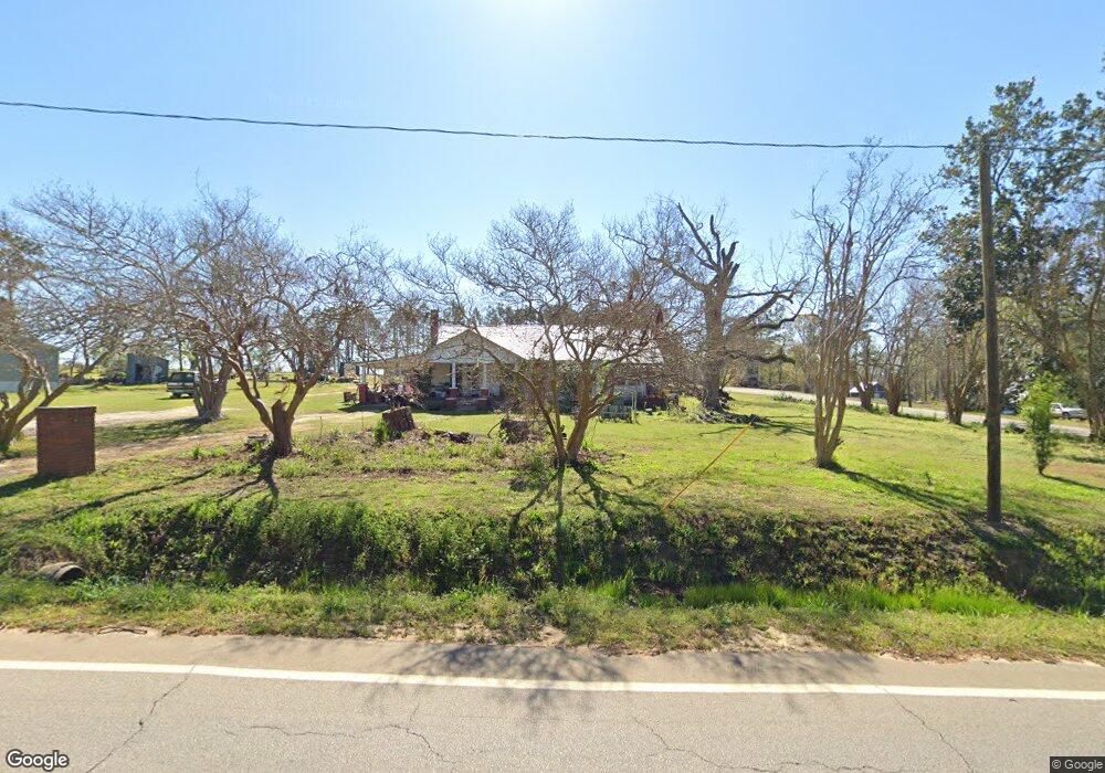
8452 Ga Highway 297 Swainsboro, GA 30401
Estimated Value: $59,000 - $88,000
3
Beds
1
Bath
2,140
Sq Ft
$34/Sq Ft
Est. Value
About This Home
This home is located at 8452 Ga Highway 297, Swainsboro, GA 30401 and is currently estimated at $72,167, approximately $33 per square foot. 8452 Ga Highway 297 is a home with nearby schools including Swainsboro Primary School, Swainsboro Elementary School, and Swainsboro Middle School.
Ownership History
Date
Name
Owned For
Owner Type
Purchase Details
Closed on
Apr 26, 2017
Sold by
Ely Joseph Adam
Bought by
Garcia Jacobo Enriquez
Current Estimated Value
Purchase Details
Closed on
Feb 9, 2017
Sold by
Ely Lindsey Elizabeth
Bought by
Ely Joseph Adam
Purchase Details
Closed on
Mar 25, 2015
Sold by
Pritchard Samuel
Bought by
Ely Joseph Adam
Purchase Details
Closed on
Aug 27, 2014
Sold by
Bennett Marilyn M
Bought by
Pritchard Samuel and Pritchard Pamela B
Home Financials for this Owner
Home Financials are based on the most recent Mortgage that was taken out on this home.
Original Mortgage
$30,000
Interest Rate
4.19%
Mortgage Type
New Conventional
Create a Home Valuation Report for This Property
The Home Valuation Report is an in-depth analysis detailing your home's value as well as a comparison with similar homes in the area
Home Values in the Area
Average Home Value in this Area
Purchase History
| Date | Buyer | Sale Price | Title Company |
|---|---|---|---|
| Garcia Jacobo Enriquez | $30,000 | -- | |
| Ely Joseph Adam | -- | -- | |
| Ely Joseph Adam | $52,000 | -- | |
| Pritchard Samuel | $30,000 | -- |
Source: Public Records
Mortgage History
| Date | Status | Borrower | Loan Amount |
|---|---|---|---|
| Previous Owner | Pritchard Samuel | $30,000 |
Source: Public Records
Tax History Compared to Growth
Tax History
| Year | Tax Paid | Tax Assessment Tax Assessment Total Assessment is a certain percentage of the fair market value that is determined by local assessors to be the total taxable value of land and additions on the property. | Land | Improvement |
|---|---|---|---|---|
| 2024 | $427 | $14,082 | $752 | $13,330 |
| 2023 | $451 | $14,934 | $752 | $14,182 |
| 2022 | $381 | $12,937 | $752 | $12,185 |
| 2021 | $366 | $12,151 | $654 | $11,497 |
| 2020 | $489 | $15,720 | $2,285 | $13,435 |
| 2019 | $486 | $15,720 | $2,285 | $13,435 |
| 2018 | $449 | $15,598 | $2,285 | $13,313 |
| 2017 | $450 | $15,598 | $2,285 | $13,313 |
| 2016 | $434 | $17,067 | $2,285 | $14,782 |
| 2015 | -- | $17,619 | $2,836 | $14,782 |
| 2014 | -- | $17,142 | $2,683 | $14,459 |
| 2013 | -- | $17,049 | $2,682 | $14,366 |
Source: Public Records
Map
Nearby Homes
- 22 Meadowlark Ln
- 0 Highway 1 Unit 160605
- 0 Highway 1 Unit 155239
- 217 Mimosa Dr
- 256 Union Chapel Rd
- 3 Condor Rd
- 2 Condor Rd
- 1 Condor Rd
- 182 Angus Rd
- 374 Union Chapel Rd
- 147 Reba Dr
- 767 Old Nunez Rd
- 115 Anns Dr
- 0 Martin Rd Unit 23293548
- 727 Old Nunez Rd
- 0 Kathleen Rd Unit 10640829
- 119 Horseshoe Loop
- 444 Halls Bridge Rd
- 555 Jordan Ln
- 240 Lakewood Dr
- 2 Georgia 297
- 29 Highway 192
- 297 Highway 297
- 20 Nunez Circle Dr
- 0 Nunez Circle Dr
- 1 S Hwy # 297
- 8468 Ga Highway 297
- 8465 Ga Highway 297
- 37 Circle Dr
- 41 Dozier St
- 11 Powell Dr
- 11 Powell Dr
- 8478 Georgia 297
- 43 Nunez Lexsy Rd
- 0 Alcott Dr
- 47 Powell Dr
- 14 Alcott Dr
- 3 Nunez Lexsy Rd
- 16 Powell Dr
- 41 Nunez Lexsy Rd