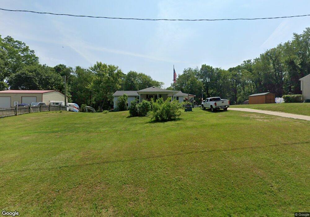
8454 Price Rd Ravenna, OH 44266
Estimated Value: $237,039 - $301,000
3
Beds
1
Bath
1,824
Sq Ft
$142/Sq Ft
Est. Value
About This Home
This home is located at 8454 Price Rd, Ravenna, OH 44266 and is currently estimated at $259,510, approximately $142 per square foot. 8454 Price Rd is a home located in Portage County with nearby schools including Crestwood Primary School, Crestwood Intermediate School, and Crestwood Middle School.
Ownership History
Date
Name
Owned For
Owner Type
Purchase Details
Closed on
Jan 16, 2013
Sold by
Clark Beth A and Frazier Clayton E
Bought by
Bfg Federal Credit Union
Current Estimated Value
Purchase Details
Closed on
Mar 13, 2012
Sold by
Clark Beth A and Frazier Clayton E
Bought by
Clark Beth A and Frazier Clayton E
Purchase Details
Closed on
Oct 8, 1999
Sold by
Geib Beth A
Bought by
Clark Beth A and Geib Beth A
Purchase Details
Closed on
Feb 26, 1999
Sold by
Geib Ronald L
Bought by
Geib Beth A
Home Financials for this Owner
Home Financials are based on the most recent Mortgage that was taken out on this home.
Original Mortgage
$80,000
Interest Rate
6.78%
Purchase Details
Closed on
Jan 11, 1990
Bought by
Geib Ronald L and Geib Beth A
Create a Home Valuation Report for This Property
The Home Valuation Report is an in-depth analysis detailing your home's value as well as a comparison with similar homes in the area
Home Values in the Area
Average Home Value in this Area
Purchase History
| Date | Buyer | Sale Price | Title Company |
|---|---|---|---|
| Bfg Federal Credit Union | $9,000 | First American Title | |
| Clark Beth A | -- | Ohio Title | |
| Clark Beth A | -- | Approved Statewide Title Age | |
| Geib Beth A | -- | -- | |
| Geib Ronald L | -- | -- |
Source: Public Records
Mortgage History
| Date | Status | Borrower | Loan Amount |
|---|---|---|---|
| Previous Owner | Geib Beth A | $80,000 |
Source: Public Records
Tax History Compared to Growth
Tax History
| Year | Tax Paid | Tax Assessment Tax Assessment Total Assessment is a certain percentage of the fair market value that is determined by local assessors to be the total taxable value of land and additions on the property. | Land | Improvement |
|---|---|---|---|---|
| 2024 | $2,027 | $61,260 | $12,500 | $48,760 |
| 2023 | $1,696 | $48,230 | $8,750 | $39,480 |
| 2022 | $2,096 | $48,230 | $8,750 | $39,480 |
| 2021 | $2,101 | $48,230 | $8,750 | $39,480 |
| 2020 | $1,848 | $40,080 | $8,750 | $31,330 |
| 2019 | $1,818 | $40,080 | $8,750 | $31,330 |
| 2018 | $1,554 | $33,810 | $10,080 | $23,730 |
| 2017 | $1,554 | $33,810 | $10,080 | $23,730 |
| 2016 | $1,550 | $33,810 | $10,080 | $23,730 |
| 2015 | $1,553 | $33,810 | $10,080 | $23,730 |
| 2014 | $1,584 | $33,810 | $10,080 | $23,730 |
| 2013 | $1,567 | $33,810 | $10,080 | $23,730 |
Source: Public Records
Map
Nearby Homes
- 8291 State Route 14
- 2972 Douglas St
- V/L State Route 14
- 1678 Duncan Way
- 3065 Polly Rd
- 1675 Duncan Way
- 1647 Duncan Way
- 3161 Denny Rd
- 1654 Leslie Dr
- 8856 Coit Rd
- 1648 Maple View Ct
- 2660 Dawley Rd
- 2646 Dawley Rd
- 1939 Pine Dr Unit 8M
- 7663 Diagonal Rd
- 8708 Mavis Trail
- 9244 Lakeside Dr
- 8158 State Route 43
- 1448 Jude Ave
- 9036 Portage Pointe Dr Unit B