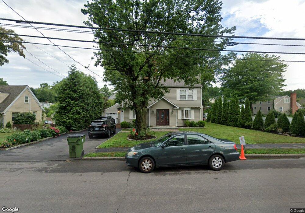
846 Jennings Rd Fairfield, CT 06824
University NeighborhoodEstimated Value: $860,596 - $990,000
4
Beds
3
Baths
1,992
Sq Ft
$457/Sq Ft
Est. Value
About This Home
This home is located at 846 Jennings Rd, Fairfield, CT 06824 and is currently estimated at $910,149, approximately $456 per square foot. 846 Jennings Rd is a home located in Fairfield County with nearby schools including Holland Hill Elementary, Fairfield Woods Middle School, and Fairfield Ludlowe High School.
Ownership History
Date
Name
Owned For
Owner Type
Purchase Details
Closed on
May 31, 1995
Sold by
Mcdonald James L and Mcdonald Ethel M
Bought by
Louloudis George and Louloudis Kathryn
Current Estimated Value
Purchase Details
Closed on
Sep 22, 1989
Sold by
Bensey David
Bought by
Mcdonald James L
Create a Home Valuation Report for This Property
The Home Valuation Report is an in-depth analysis detailing your home's value as well as a comparison with similar homes in the area
Home Values in the Area
Average Home Value in this Area
Purchase History
| Date | Buyer | Sale Price | Title Company |
|---|---|---|---|
| Louloudis George | $272,000 | -- | |
| Louloudis George | $272,000 | -- | |
| Mcdonald James L | $215,000 | -- |
Source: Public Records
Mortgage History
| Date | Status | Borrower | Loan Amount |
|---|---|---|---|
| Closed | Mcdonald James L | $190,000 | |
| Closed | Mcdonald James L | $195,700 | |
| Closed | Mcdonald James L | $180,000 |
Source: Public Records
Tax History Compared to Growth
Tax History
| Year | Tax Paid | Tax Assessment Tax Assessment Total Assessment is a certain percentage of the fair market value that is determined by local assessors to be the total taxable value of land and additions on the property. | Land | Improvement |
|---|---|---|---|---|
| 2025 | $10,012 | $352,660 | $236,320 | $116,340 |
| 2024 | $9,839 | $352,660 | $236,320 | $116,340 |
| 2023 | $9,702 | $352,660 | $236,320 | $116,340 |
| 2022 | $9,606 | $352,660 | $236,320 | $116,340 |
| 2021 | $9,515 | $352,660 | $236,320 | $116,340 |
| 2020 | $8,816 | $329,070 | $194,040 | $135,030 |
| 2019 | $8,816 | $329,070 | $194,040 | $135,030 |
| 2018 | $8,674 | $329,070 | $194,040 | $135,030 |
| 2017 | $8,497 | $329,070 | $194,040 | $135,030 |
| 2016 | $8,375 | $329,070 | $194,040 | $135,030 |
| 2015 | $8,288 | $334,320 | $205,800 | $128,520 |
| 2014 | $8,157 | $334,320 | $205,800 | $128,520 |
Source: Public Records
Map
Nearby Homes
- 235 Lovers Ln
- 261 High St
- 274 High St
- 271 Jeniford Rd
- 68 Figlar Ave
- 478 Crestwood Rd
- 221 Hunyadi Ave
- 162 Country Rd Unit 162
- 633 Black Rock Turnpike
- 120 Parkwood Rd
- 1009 High St
- 143 Sawyer Rd
- 1035 Black Rock Turnpike Unit 1035
- 45 Robin Cir
- 61 Dogwood Ln
- 1335 Black Rock Turnpike
- 152 Roseville St
- 148 Roseville St
- 130 Massachusetts Ave
- 359 Reid St
- 860 Jennings Rd
- 9 Brookdale Rd
- 32 Jeniford Rd
- 44 Jeniford Rd
- 43 Brookdale Rd
- 890 Jennings Rd
- 12 Brookdale Rd
- 57 Brookdale Rd
- 879 Jennings Rd
- 32 Brookdale Rd
- 847 Jennings Rd
- 833 Jennings Rd
- 29 Jeniford Rd
- 803 Jennings Rd
- 863 Jennings Rd
- 817 Jennings Rd
- 62 Jeniford Rd
- 45 Jeniford Rd
- 912 Jennings Rd
- 76 Jeniford Rd