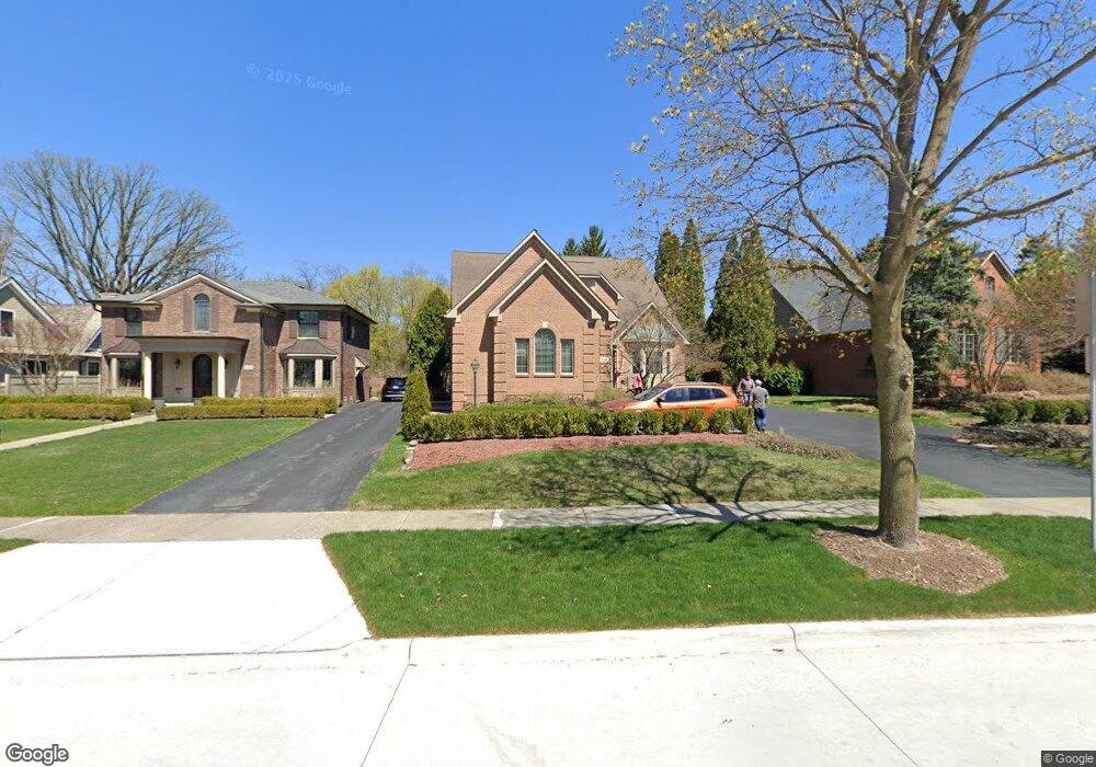
846 Redding Rd Unit Bldg-Unit Birmingham, MI 48009
Estimated Value: $1,938,711 - $2,485,000
4
Beds
6
Baths
4,346
Sq Ft
$521/Sq Ft
Est. Value
About This Home
This home is located at 846 Redding Rd Unit Bldg-Unit, Birmingham, MI 48009 and is currently estimated at $2,262,904, approximately $520 per square foot. 846 Redding Rd Unit Bldg-Unit is a home located in Oakland County with nearby schools including Pierce Elementary School, Ernest W. Seaholm High School, and Holy Name School.
Ownership History
Date
Name
Owned For
Owner Type
Purchase Details
Closed on
May 15, 2018
Sold by
Capaldi Fred and Capaldi Barbara
Bought by
Susan Diclemente Trust
Current Estimated Value
Purchase Details
Closed on
Mar 18, 2005
Sold by
Capaldi Fred I and Fred I Capaldi Living Trust
Bought by
Capaldi Fred I and Capaldi Barbara J
Purchase Details
Closed on
Mar 6, 1999
Sold by
Capaldi Building Co
Bought by
Fred I Capaldi Tr
Purchase Details
Closed on
Mar 11, 1998
Sold by
Marrella John B
Bought by
Capaldi Building Co
Create a Home Valuation Report for This Property
The Home Valuation Report is an in-depth analysis detailing your home's value as well as a comparison with similar homes in the area
Home Values in the Area
Average Home Value in this Area
Purchase History
| Date | Buyer | Sale Price | Title Company |
|---|---|---|---|
| Susan Diclemente Trust | -- | None Available | |
| Capaldi Fred I | -- | -- | |
| Fred I Capaldi Tr | -- | -- | |
| Capaldi Building Co | $150,000 | -- |
Source: Public Records
Tax History Compared to Growth
Tax History
| Year | Tax Paid | Tax Assessment Tax Assessment Total Assessment is a certain percentage of the fair market value that is determined by local assessors to be the total taxable value of land and additions on the property. | Land | Improvement |
|---|---|---|---|---|
| 2024 | $21,449 | $700,530 | $0 | $0 |
| 2023 | $20,553 | $672,580 | $0 | $0 |
| 2022 | $22,037 | $583,470 | $0 | $0 |
| 2021 | $22,232 | $552,950 | $0 | $0 |
| 2020 | $19,975 | $549,930 | $0 | $0 |
| 2019 | $26,122 | $623,640 | $0 | $0 |
| 2018 | $17,422 | $601,120 | $0 | $0 |
| 2017 | $17,392 | $598,170 | $0 | $0 |
| 2016 | $17,425 | $598,810 | $0 | $0 |
| 2015 | -- | $577,320 | $0 | $0 |
| 2014 | -- | $491,810 | $0 | $0 |
| 2011 | -- | $364,960 | $0 | $0 |
Source: Public Records
Map
Nearby Homes
- 1551 Lakeside Dr
- 1295 Lakeside Dr
- 1115 N Old Woodward Ave Unit 52
- 1115 N Old Woodward Ave Unit 61
- 1537 Ashford Ln
- 1115 N Old Woodward #76 Ave
- 1111 N Old Woodward Ave Unit 4
- 1111 N Old Woodward Ave Unit 26
- 1030 Lakeside Dr
- 5554 Pine Brooke Ct
- 1056 Pilgrim Ave
- 667 Oak Ave
- 750 Hazelwood St
- 0000 Brookdale Rd
- 488 Vinewood Ave
- 592 Lakeside Dr
- 549 N Old Woodward Ave
- 1260 Lyonhurst St
- 1330 Oxford Rd
- 1120 Lyonhurst St
- 846 Redding Rd
- 798 Redding Rd
- 858 Redding Rd
- 890 Redding Rd
- 857 Redding Rd
- 857 Redding Rd Unit 2
- 857 Redding Rd Unit 1
- 887 Redding Rd
- 1414 Lakeside Dr
- 1458 Lakeside Dr
- 885 Redding Rd
- 1500 Lakeside Dr
- 1350 Lakeside Dr
- 1386 Lakeside Dr
- 1556 Lakeside Dr
- 1578 Lakeside Dr
- 36695 Woodward Ave
- 1449 Lakeside Dr
- 1415 Lakeside Dr
- 36880 Woodward Ave