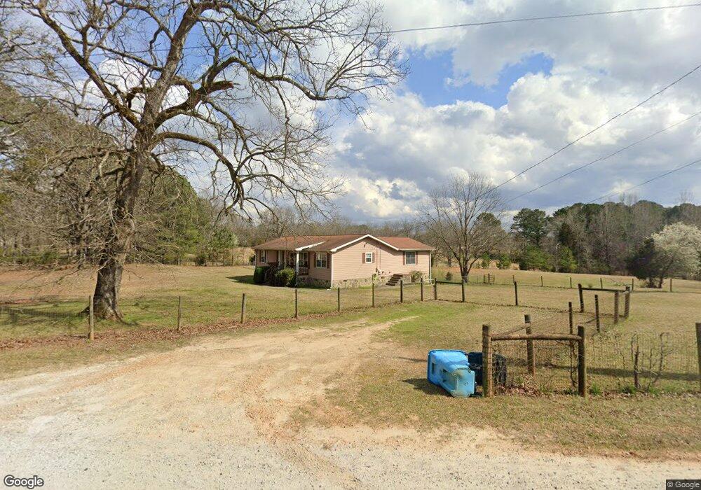
846 Seabolt Rd Locust Grove, GA 30248
Estimated Value: $288,000 - $314,000
3
Beds
2
Baths
1,728
Sq Ft
$176/Sq Ft
Est. Value
About This Home
This home is located at 846 Seabolt Rd, Locust Grove, GA 30248 and is currently estimated at $304,667, approximately $176 per square foot. 846 Seabolt Rd is a home located in Henry County with nearby schools including Unity Grove Elementary School, Locust Grove Middle School, and Locust Grove High School.
Ownership History
Date
Name
Owned For
Owner Type
Purchase Details
Closed on
Oct 29, 2002
Sold by
Graham Raymond D
Bought by
Crosslin Kathy A
Current Estimated Value
Home Financials for this Owner
Home Financials are based on the most recent Mortgage that was taken out on this home.
Original Mortgage
$125,900
Outstanding Balance
$17,529
Interest Rate
5.93%
Mortgage Type
New Conventional
Estimated Equity
$287,138
Purchase Details
Closed on
Jun 28, 1994
Sold by
Stubbs Melanie D
Bought by
Graham Raymond D
Home Financials for this Owner
Home Financials are based on the most recent Mortgage that was taken out on this home.
Original Mortgage
$70,300
Interest Rate
8.26%
Create a Home Valuation Report for This Property
The Home Valuation Report is an in-depth analysis detailing your home's value as well as a comparison with similar homes in the area
Home Values in the Area
Average Home Value in this Area
Purchase History
| Date | Buyer | Sale Price | Title Company |
|---|---|---|---|
| Crosslin Kathy A | $139,900 | -- | |
| Graham Raymond D | $74,000 | -- |
Source: Public Records
Mortgage History
| Date | Status | Borrower | Loan Amount |
|---|---|---|---|
| Open | Crosslin Kathy A | $125,900 | |
| Previous Owner | Graham Raymond D | $70,300 |
Source: Public Records
Tax History Compared to Growth
Tax History
| Year | Tax Paid | Tax Assessment Tax Assessment Total Assessment is a certain percentage of the fair market value that is determined by local assessors to be the total taxable value of land and additions on the property. | Land | Improvement |
|---|---|---|---|---|
| 2025 | $621 | $120,000 | $18,360 | $101,640 |
| 2024 | $621 | $112,840 | $16,520 | $96,320 |
| 2023 | $448 | $113,560 | $15,920 | $97,640 |
| 2022 | $593 | $88,080 | $14,680 | $73,400 |
| 2021 | $587 | $76,800 | $12,600 | $64,200 |
| 2020 | $589 | $71,360 | $11,880 | $59,480 |
| 2019 | $583 | $65,120 | $11,280 | $53,840 |
| 2018 | $0 | $60,080 | $10,400 | $49,680 |
| 2016 | $1,612 | $48,040 | $9,200 | $38,840 |
| 2015 | $1,572 | $46,040 | $10,560 | $35,480 |
| 2014 | $1,392 | $41,160 | $10,560 | $30,600 |
Source: Public Records
Map
Nearby Homes
- 521 Deadwood Trail
- 601 Amerigo Ct
- 1000 Coan Dr
- 604 Onieda Dr
- 705 Seabolt Rd
- 678 Seabolt Rd
- 218 Baxter Ln
- 143 Kimbell Farm Dr
- 305 Annie Ln Unit 2
- 165 Caraway Rd
- 201 Nina Cir
- 560 Coan Dr
- 121, 125, 129 Case Dr
- 100 Harbin Trail
- 1126 Old Jackson Rd
- 1850 Old Jackson Rd
- 230 Leguin Mill Rd
- 108 Caraway Rd
- 1579 S Bethany Rd
- 1627 Leguin Mill Rd
- 1120 Coan Dr
- 1119 Coan Dr
- 1151 Coan Dr
- 1178 Coan Dr
- 797 Seabolt Rd
- 1068 Coan Dr
- 1185 Coan Dr
- 800 Seabolt Rd
- 608 Amerigo Ct
- 1130 Coan Dr
- 796 Seabolt Rd
- 600 Amerigo Ct
- 1199 Coan Dr
- 609 Amerigo Ct
- 609 Amerigo Ct Unit 602
- 513 Deadwood Trail Unit 4
- 517 Deadwood Trail
- 521 Deadwood Trail Unit 2102
- 605 Amerigo Ct
- 605 Amerigo Ct Unit 601