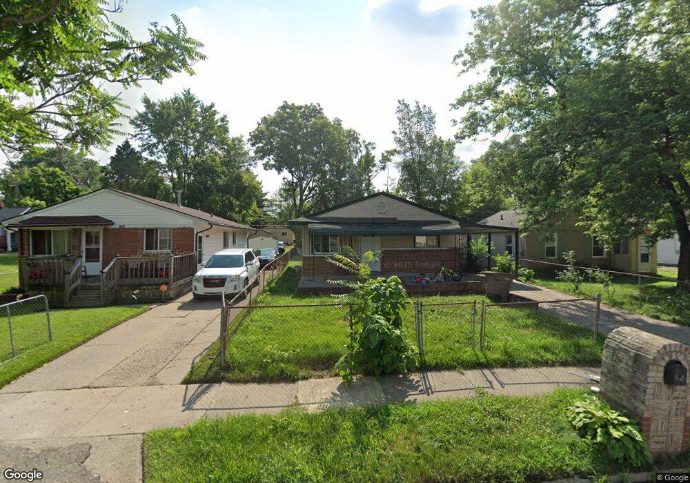
846 Stanley Ave Pontiac, MI 48340
Estimated Value: $107,000 - $166,000
3
Beds
1
Bath
909
Sq Ft
$146/Sq Ft
Est. Value
About This Home
This home is located at 846 Stanley Ave, Pontiac, MI 48340 and is currently estimated at $132,281, approximately $145 per square foot. 846 Stanley Ave is a home located in Oakland County with nearby schools including Alcott School, Pontiac Middle School, and Pontiac High School.
Ownership History
Date
Name
Owned For
Owner Type
Purchase Details
Closed on
Nov 18, 2008
Sold by
Traficante Joe and Traficante Emilia
Bought by
Stormer John
Current Estimated Value
Purchase Details
Closed on
Jun 10, 2007
Sold by
846 Stanley Llc and Norton Bob
Bought by
Traficante Joe and Traficante Emilia
Purchase Details
Closed on
May 17, 2007
Sold by
Mortgage Electronic Registration Systems
Bought by
Bank Of New York and Certificateholders Cwabs Inc Asset Backe
Purchase Details
Closed on
Jan 2, 2007
Sold by
Mauricio Guadalupe and Mauricio Luis
Bought by
Mortgage Electronic Registration Systems
Purchase Details
Closed on
Aug 22, 2001
Sold by
Carattini Guadalupe
Bought by
Mauricio Guadalupe
Create a Home Valuation Report for This Property
The Home Valuation Report is an in-depth analysis detailing your home's value as well as a comparison with similar homes in the area
Home Values in the Area
Average Home Value in this Area
Purchase History
| Date | Buyer | Sale Price | Title Company |
|---|---|---|---|
| Stormer John | -- | None Available | |
| Traficante Joe | -- | None Available | |
| Bank Of New York | -- | None Available | |
| Mortgage Electronic Registration Systems | $104,725 | None Available | |
| Mauricio Guadalupe | -- | -- |
Source: Public Records
Tax History Compared to Growth
Tax History
| Year | Tax Paid | Tax Assessment Tax Assessment Total Assessment is a certain percentage of the fair market value that is determined by local assessors to be the total taxable value of land and additions on the property. | Land | Improvement |
|---|---|---|---|---|
| 2024 | $942 | $39,890 | $0 | $0 |
| 2023 | $898 | $35,750 | $0 | $0 |
| 2022 | $930 | $32,000 | $0 | $0 |
| 2021 | $903 | $27,740 | $0 | $0 |
| 2020 | $817 | $24,570 | $0 | $0 |
| 2019 | $870 | $21,470 | $0 | $0 |
| 2018 | $833 | $18,250 | $0 | $0 |
| 2017 | $801 | $17,420 | $0 | $0 |
| 2016 | $826 | $15,360 | $0 | $0 |
| 2015 | -- | $14,980 | $0 | $0 |
| 2014 | -- | $14,320 | $0 | $0 |
| 2011 | -- | $18,060 | $0 | $0 |
Source: Public Records
Map
Nearby Homes
- 201 Parkdale Ave
- 0000 Blaine Ave
- 119 W Kennett Rd
- 109 W Kennett Rd
- 998 Dewey St
- 686 Lounsbury Ave
- 1017 Cherrylawn Dr
- 841 Orlando Ave
- 793 Orlando Ave
- 32 N Merrimac St
- 255 W Rutgers Ave
- 0 Cesar Chavez Ave Unit 20240016653
- 33 W Beverly Ave
- 240 W Fairmount Ave
- 207 W Strathmore Ave
- 1123 Cherrylawn Dr
- 134 W Fairmount Ave
- 89 W Fairmount Ave
- 1153 Stanley Ave
- 117 W Strathmore Ave
- 850 Stanley Ave
- 842 Stanley Ave
- 838 Stanley Ave
- 856 Stanley Ave
- 845 Woodland Ave
- 841 Woodland Ave
- 849 Woodland Ave
- 833 Woodland Ave
- 853 Woodland Ave
- 845 Stanley Ave
- 864 Stanley Ave
- 849 Stanley Ave
- 841 Stanley Ave
- 822 Stanley Ave
- 859 Woodland Ave
- 853 Stanley Ave
- 867 Stanley Ave
- 816 Stanley Ave
- 872 Stanley Ave
- 869 Woodland Ave