8460 Fox Path Dr Tobaccoville, NC 27050
Estimated Value: $406,000 - $479,450
6
Beds
4
Baths
4,660
Sq Ft
$96/Sq Ft
Est. Value
About This Home
This home is located at 8460 Fox Path Dr, Tobaccoville, NC 27050 and is currently estimated at $445,150, approximately $95 per square foot. 8460 Fox Path Dr is a home located in Forsyth County with nearby schools including Old Richmond Elementary School, Northwest Middle, and North Forsyth High.
Ownership History
Date
Name
Owned For
Owner Type
Purchase Details
Closed on
Nov 17, 2014
Sold by
Davenport Christopher B and Davenport Lisa M
Bought by
Sharpe Michael L and Sharpe Carla S
Current Estimated Value
Home Financials for this Owner
Home Financials are based on the most recent Mortgage that was taken out on this home.
Original Mortgage
$36,000
Outstanding Balance
$20,289
Interest Rate
4.26%
Mortgage Type
Purchase Money Mortgage
Estimated Equity
$424,861
Purchase Details
Closed on
Dec 4, 2007
Sold by
Jom Properties Llc
Bought by
Davenport Christopher B and Davenport Lisa M
Home Financials for this Owner
Home Financials are based on the most recent Mortgage that was taken out on this home.
Original Mortgage
$35,625
Interest Rate
6.29%
Mortgage Type
Purchase Money Mortgage
Create a Home Valuation Report for This Property
The Home Valuation Report is an in-depth analysis detailing your home's value as well as a comparison with similar homes in the area
Home Values in the Area
Average Home Value in this Area
Purchase History
| Date | Buyer | Sale Price | Title Company |
|---|---|---|---|
| Sharpe Michael L | $40,000 | None Available | |
| Davenport Christopher B | $47,500 | None Available |
Source: Public Records
Mortgage History
| Date | Status | Borrower | Loan Amount |
|---|---|---|---|
| Open | Sharpe Michael L | $36,000 | |
| Previous Owner | Davenport Christopher B | $35,625 |
Source: Public Records
Tax History Compared to Growth
Tax History
| Year | Tax Paid | Tax Assessment Tax Assessment Total Assessment is a certain percentage of the fair market value that is determined by local assessors to be the total taxable value of land and additions on the property. | Land | Improvement |
|---|---|---|---|---|
| 2025 | $2,373 | $478,400 | $64,700 | $413,700 |
| 2024 | $2,314 | $297,900 | $49,300 | $248,600 |
| 2023 | $2,314 | $297,900 | $49,300 | $248,600 |
| 2022 | $2,314 | $297,900 | $49,300 | $248,600 |
| 2021 | $2,314 | $297,900 | $49,300 | $248,600 |
| 2020 | $2,265 | $267,800 | $43,900 | $223,900 |
| 2019 | $2,292 | $267,800 | $43,900 | $223,900 |
| 2018 | $2,202 | $267,800 | $43,900 | $223,900 |
| 2016 | $297 | $35,856 | $35,856 | $0 |
| 2015 | $297 | $35,856 | $35,856 | $0 |
| 2014 | $290 | $35,856 | $35,856 | $0 |
Source: Public Records
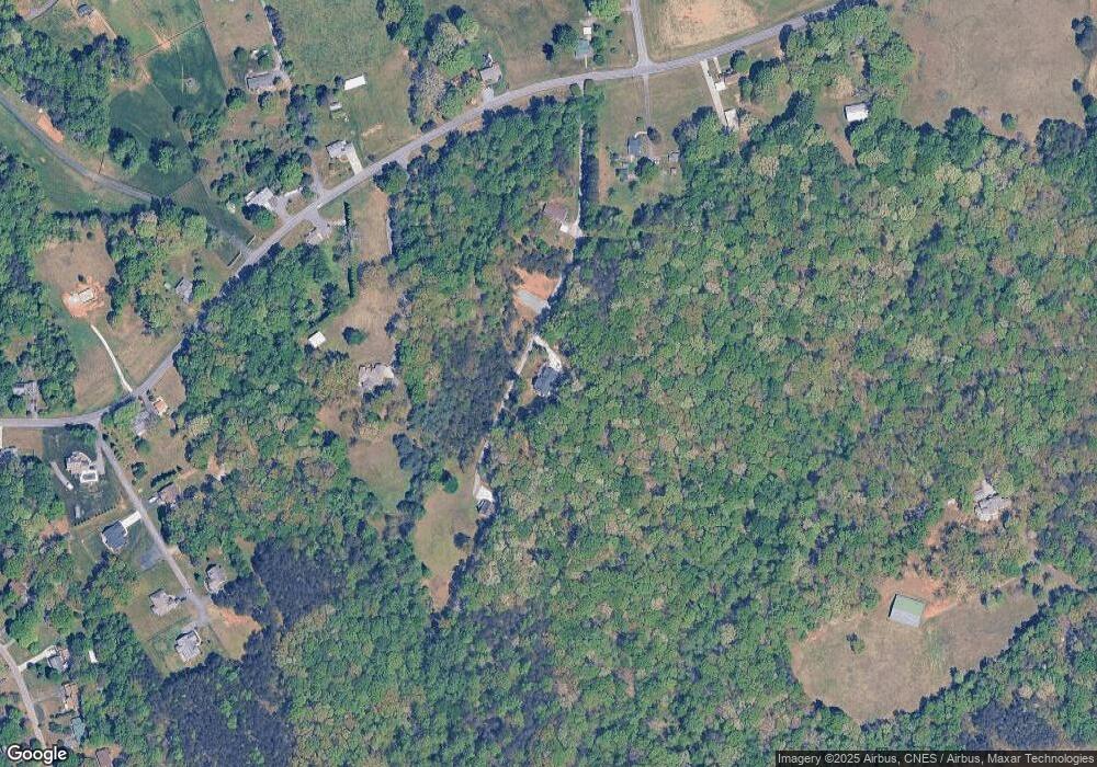
Map
Nearby Homes
- 8484 Austin Hill Ln
- 5302 Crown Point Dr
- 5304 Oswego Ct
- 1048 Jessica Ln
- 140 Little Brook Dr
- 137 Dewsberry Rd
- 7540 Greenmeadow Dr
- 7680 Donnaha Rd
- 3513 Twig Farm Rd
- 7192 Fisher Rd
- 7129 Ridge Rd
- 7121 Ridge Rd
- 123 Macintosh Dr
- 240 Macintosh Dr
- 248 Macintosh Dr
- 4051 Rolling Hill Dr
- 4056 Rolling Hill Dr
- 116 Courtland Dr
- 252 Macintosh Dr
- 109 Courtland Dr
- 0 Fox Path Dr
- 8430 Fox Path Dr
- 8541 Fox Path Dr
- 4810 Fox Path Dr
- 5000 Spainhour Mill Rd
- 8410 Fox Path Dr
- 5050 Spainhour Mill Rd
- 4975 Spainhour Mill Rd
- 4971 Spainhour Mill Rd
- 5031 Spainhour Mill Rd
- 4921 Spainhour Mill Rd
- 5075 Spainhour Mill Rd
- 4874 Spainhour Mill Rd
- 5125 Spainhour Mill Rd
- 4860 Spainhour Mill Rd
- 8471 Austin Hill Ln
- 5176 Spainhour Mill Rd
- 4840 Spainhour Mill Rd
- 5186 Spainhour Mill Rd
- 8472 Austin Hill Ln