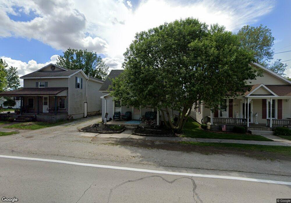
8462 N State Route 635 Kansas, OH 44841
Estimated Value: $11,000
--
Bed
1
Bath
--
Sq Ft
6,142
Sq Ft Lot
About This Home
This home is located at 8462 N State Route 635, Kansas, OH 44841 and is currently estimated at $11,000. 8462 N State Route 635 is a home located in Seneca County with nearby schools including Lakota Elementary School, Lakota Middle School, and Lakota High School.
Ownership History
Date
Name
Owned For
Owner Type
Purchase Details
Closed on
Sep 2, 2010
Sold by
Wells Fargo Bank N A
Bought by
Moroschan David B
Current Estimated Value
Purchase Details
Closed on
Jul 15, 2010
Sold by
Bennington Robin E and Bennington Robin
Bought by
Wells Fargo Bank Na
Purchase Details
Closed on
Nov 23, 2005
Sold by
Nobbs John Tomas
Bought by
Bennington Robin E and Bennington Robin
Home Financials for this Owner
Home Financials are based on the most recent Mortgage that was taken out on this home.
Original Mortgage
$53,500
Interest Rate
6.2%
Mortgage Type
New Conventional
Purchase Details
Closed on
Jul 27, 2005
Sold by
Goldt Robert F
Bought by
Nobbs John Tomas
Purchase Details
Closed on
Feb 8, 1995
Sold by
Nobbs John T
Bought by
Nobbs John T
Purchase Details
Closed on
Dec 14, 1994
Sold by
Nobbs Patricia V
Bought by
Nobbs John T
Create a Home Valuation Report for This Property
The Home Valuation Report is an in-depth analysis detailing your home's value as well as a comparison with similar homes in the area
Home Values in the Area
Average Home Value in this Area
Purchase History
| Date | Buyer | Sale Price | Title Company |
|---|---|---|---|
| Moroschan David B | $5,200 | None Available | |
| Wells Fargo Bank Na | $18,667 | None Available | |
| Bennington Robin E | $53,500 | None Available | |
| Nobbs John Tomas | $20,000 | Asi Title Inc | |
| Nobbs John T | $27,800 | -- | |
| Nobbs John T | -- | -- |
Source: Public Records
Mortgage History
| Date | Status | Borrower | Loan Amount |
|---|---|---|---|
| Previous Owner | Bennington Robin E | $53,500 |
Source: Public Records
Tax History Compared to Growth
Tax History
| Year | Tax Paid | Tax Assessment Tax Assessment Total Assessment is a certain percentage of the fair market value that is determined by local assessors to be the total taxable value of land and additions on the property. | Land | Improvement |
|---|---|---|---|---|
| 2024 | $77 | $2,230 | $2,230 | $0 |
| 2023 | $145 | $2,230 | $2,230 | $0 |
| 2022 | $118 | $2,870 | $1,340 | $1,530 |
| 2021 | $115 | $2,870 | $1,340 | $1,530 |
| 2020 | $110 | $2,871 | $1,341 | $1,530 |
| 2019 | $95 | $2,496 | $1,166 | $1,330 |
| 2018 | $95 | $2,496 | $1,166 | $1,330 |
| 2017 | $102 | $2,496 | $1,166 | $1,330 |
| 2016 | $105 | $2,916 | $1,166 | $1,750 |
| 2015 | $110 | $2,916 | $1,166 | $1,750 |
| 2014 | $100 | $2,916 | $1,166 | $1,750 |
| 2013 | $102 | $2,916 | $1,166 | $1,750 |
Source: Public Records
Map
Nearby Homes
- 0 State Route 224 Unit 20240095
- 230 State St
- 203 Washington St
- 8399 N County Road 31
- 0 State Route 590 Unit 6136844
- 2595 County Road 13
- 4885 N Township Road 101
- 2231 County Road 23
- N Township Rd 45
- 6610 County Road 1
- 227 Main St
- 132 E Township Road 152
- 5479 N State Route 53
- 2821 N County Road 11
- 000 Weaver Rd
- 0000 Weaver Rd
- 0 Girton Rd
- 17 Adams Dr
- 855 Rambo Ln
- 8763 N Fostoria Rd
- 8454 N State Route 635
- 8470 N State Route 635
- 6039 Ash St
- 8484 N State Route 635
- 8434 N State Route 635
- 6061 Ash St
- 8434 Ohio 635
- 8471 Ohio 635
- 5982 N State Route 635
- 8428 N State Route 635
- 8471 N State Route 635
- 8420 N State Route 635
- 8491 N State Route 635
- 3 N State Route 635
- 8404 N State Route 635
- 8482 Tr 1018
- 6009 W Main St
- 6017 W Main St
- 5945 N Tr 1016
- 8426 Tr 1018