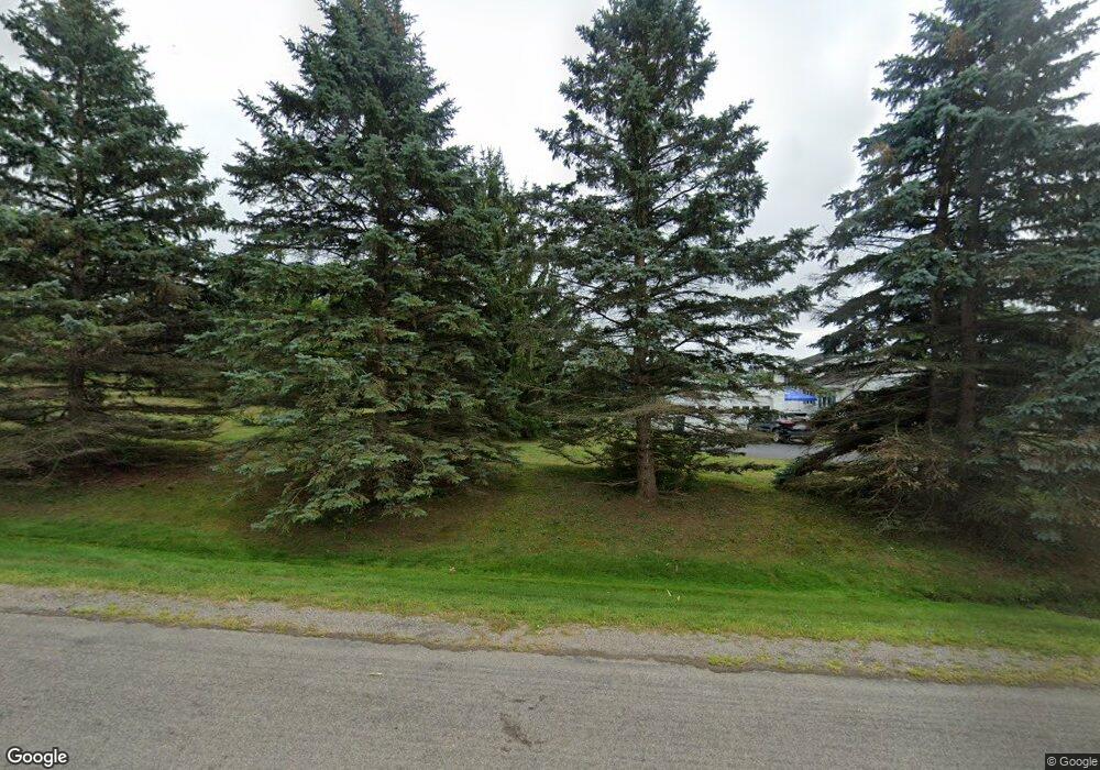
8463B Nighan Hill Rd Honeoye, NY 14471
Estimated Value: $394,000 - $498,000
3
Beds
3
Baths
2,493
Sq Ft
$174/Sq Ft
Est. Value
About This Home
This home is located at 8463B Nighan Hill Rd, Honeoye, NY 14471 and is currently estimated at $432,861, approximately $173 per square foot. 8463B Nighan Hill Rd is a home located in Ontario County with nearby schools including Honeoye Elementary School and Honeoye Middle/High School.
Ownership History
Date
Name
Owned For
Owner Type
Purchase Details
Closed on
Jun 24, 2022
Sold by
Woodworth Lynne M
Bought by
Woodworth Wade T
Current Estimated Value
Home Financials for this Owner
Home Financials are based on the most recent Mortgage that was taken out on this home.
Original Mortgage
$225,000
Outstanding Balance
$213,750
Interest Rate
5.09%
Mortgage Type
Stand Alone Refi Refinance Of Original Loan
Estimated Equity
$219,111
Create a Home Valuation Report for This Property
The Home Valuation Report is an in-depth analysis detailing your home's value as well as a comparison with similar homes in the area
Home Values in the Area
Average Home Value in this Area
Purchase History
| Date | Buyer | Sale Price | Title Company |
|---|---|---|---|
| Woodworth Wade T | $285,000 | None Available |
Source: Public Records
Mortgage History
| Date | Status | Borrower | Loan Amount |
|---|---|---|---|
| Open | Woodworth Wade T | $225,000 |
Source: Public Records
Tax History Compared to Growth
Tax History
| Year | Tax Paid | Tax Assessment Tax Assessment Total Assessment is a certain percentage of the fair market value that is determined by local assessors to be the total taxable value of land and additions on the property. | Land | Improvement |
|---|---|---|---|---|
| 2024 | $4,439 | $314,300 | $20,800 | $293,500 |
| 2023 | $7,142 | $314,300 | $20,800 | $293,500 |
| 2022 | $6,589 | $314,300 | $20,800 | $293,500 |
| 2021 | $6,296 | $243,000 | $17,800 | $225,200 |
| 2020 | $5,663 | $243,000 | $17,800 | $225,200 |
| 2019 | -- | $243,000 | $17,800 | $225,200 |
| 2018 | $5,710 | $236,600 | $17,800 | $218,800 |
| 2017 | $5,483 | $236,600 | $17,800 | $218,800 |
| 2016 | $5,541 | $236,600 | $17,800 | $218,800 |
| 2015 | -- | $232,800 | $16,500 | $216,300 |
| 2014 | -- | $232,800 | $16,500 | $216,300 |
Source: Public Records
Map
Nearby Homes
- 4743 Bear Wood Ln
- 0 Main St Unit R1587820
- 9039 Ashley Rd
- 4740 County Road 37
- 8474 Amherst St
- 5145 E Lake Rd
- 4967 County Road 37
- 5159 Deuel Rd
- 0 Deuel Rd
- 4391 Egypt Rd
- 5308 Alpine Dr
- 0 Curtis Rd Unit R1642726
- 5541 Walt Dr
- 9458 County Road 15
- 7334 Old Logan Rd
- 5421 Gulick Rd
- 10 Vicks Place
- 0 Wesley Rd
- 186 Faun Lake Rd
- 3833 Oneill Rd
- 8463 Nighan Hill Rd
- 8465 Nighan Hill Rd
- 8429 Nighan Rd
- 8461 Nighan Hill Rd
- 8429 Nighan Hill Rd
- 8471 Nighan Hill Rd
- 8417 Nighan Hill Rd
- 8561 Nighan Hill Rd
- 8415 Nighan Hill Rd
- 4509 Allens Hill Rd
- 4499 Allens Hill Rd
- 4483 Allens Hill Rd
- 4537 Allens Hill Rd
- 0 Allens Hill Rd Unit R229847
- 0 Allens Hill Rd Unit R241630
- 000 Allens Hill Rd
- 4559 Allens Hill Rd
- 4411 Allens Hill Rd
- 4597 Allens Hill Rd
- 4437 Abbey Rd
