8464 W Rusty Ln Springfield, MO 65802
West Springfield NeighborhoodEstimated Value: $371,000 - $433,000
Studio
--
Bath
--
Sq Ft
5.54
Acres
About This Home
This home is located at 8464 W Rusty Ln, Springfield, MO 65802 and is currently estimated at $404,744. 8464 W Rusty Ln is a home with nearby schools including Willard Central Elementary School and Willard Intermediate School North.
Ownership History
Date
Name
Owned For
Owner Type
Purchase Details
Closed on
Mar 22, 2017
Sold by
Edgar Charles
Bought by
Ruff Kalee Brooke and Ruff Ryan Charles
Current Estimated Value
Purchase Details
Closed on
Mar 30, 2015
Sold by
Snook Aaron and Snook Marla
Bought by
Snook Aaron and Snook Maria R
Purchase Details
Closed on
Feb 27, 2006
Sold by
Freeman Larry and Freeman Judy
Bought by
Snook Aaron and Snook Marla
Create a Home Valuation Report for This Property
The Home Valuation Report is an in-depth analysis detailing your home's value as well as a comparison with similar homes in the area
Home Values in the Area
Average Home Value in this Area
Purchase History
| Date | Buyer | Sale Price | Title Company |
|---|---|---|---|
| Ruff Kalee Brooke | -- | None Available | |
| Snook Aaron | -- | None Available | |
| Snook Aaron | -- | None Available |
Source: Public Records
Tax History
| Year | Tax Paid | Tax Assessment Tax Assessment Total Assessment is a certain percentage of the fair market value that is determined by local assessors to be the total taxable value of land and additions on the property. | Land | Improvement |
|---|---|---|---|---|
| 2025 | $2,949 | $63,180 | $10,010 | $53,170 |
| 2024 | $2,951 | $55,720 | $7,160 | $48,560 |
| 2023 | $2,939 | $55,720 | $7,160 | $48,560 |
| 2022 | $2,571 | $48,470 | $7,160 | $41,310 |
| 2021 | $2,573 | $48,470 | $7,160 | $41,310 |
| 2020 | $2,245 | $41,720 | $7,160 | $34,560 |
| 2019 | $2,238 | $41,720 | $7,160 | $34,560 |
| 2018 | $2,174 | $41,310 | $7,160 | $34,150 |
| 2017 | $2,156 | $41,250 | $7,160 | $34,090 |
| 2016 | $2,141 | $41,250 | $7,160 | $34,090 |
| 2015 | $2,127 | $41,250 | $7,160 | $34,090 |
| 2014 | $104 | $2,000 | $100 | $1,900 |
Source: Public Records
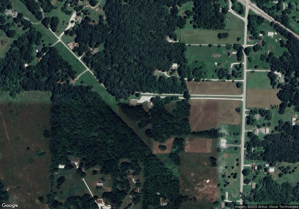
Map
Nearby Homes
- 000-Trct 4 N Farm Road 89
- 1533 N Farm Road 89
- 2007 N Farm Road 89
- 8756 W Farm Road 124
- 8249 W Spruce Ln
- 2548 Arrow Ln N
- 1668 N Farm Road 71
- Lot 1 S State Highway T
- 7105 W Woodlawn St
- Lot 3 S Farm Road 83
- 525 S Farm Road 83
- Lot 2 S Farm Road 83
- 7138 W Farm Road 136
- 000 N Farm Road 83
- 2831 N Garry St
- 000 N Farm Road 101
- 2506 N Meadow Lake Dr
- 000 W Farm Road 144
- 2571 N Honeysuckle Way
- 11550 N Farm Road 101
- 1699 N Farm Road 89
- 8569 W Serenity Ln
- 1809 N Farm Road 89
- 8471 W Farm Road 124
- 8570 W Serenity Ln
- 1671 N Farm Road 89
- 1705 N Farm Road 89
- 8553 W Farm Road 124
- 1795 N Farm Road 89
- 8419 W Farm Road 124
- 1682 N Farm Road 89
- 8639 W Serenity Ln
- 8426 W Carpenter Dr
- 1664 N Farm Road 89
- 8438 W Carpenter Dr
- 1640 N Farm Road 89
- 0 W Farm Road 124 Unit 10808572
- 0 W Farm Road 124 Unit 10808566
- 0 W Farm Road 124 Unit 11003094
- 0 W Farm Road 124 Unit 11310959
Your Personal Tour Guide
Ask me questions while you tour the home.