Estimated Value: $263,000 - $410,000
3
Beds
1
Bath
1,931
Sq Ft
$175/Sq Ft
Est. Value
About This Home
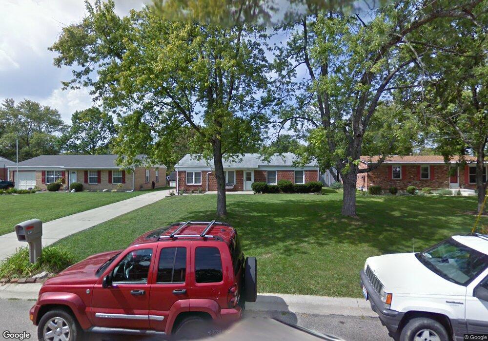
This home is located at 847 Brookcrest Dr, Mason, OH 45040 and is currently estimated at $338,864, approximately $175 per square foot. 847 Brookcrest Dr is a home located in Warren County with nearby schools including Mason Intermediate Elementary School, Mason Middle School, and William Mason High School.
Ownership History
Date
Name
Owned For
Owner Type
Purchase Details
Closed on
Oct 3, 2022
Sold by
Oursler Christopher
Bought by
Oursler Christopher and Oursler Michelle
Current Estimated Value
Purchase Details
Closed on
Oct 3, 2001
Sold by
Reed Mark D
Bought by
Oursler Christopher
Home Financials for this Owner
Home Financials are based on the most recent Mortgage that was taken out on this home.
Original Mortgage
$131,419
Interest Rate
6.99%
Mortgage Type
FHA
Purchase Details
Closed on
Oct 19, 1990
Sold by
Campbell Stanley and Campbell Lisa
Bought by
Reed and Reed Mark D
Purchase Details
Closed on
Jul 28, 1986
Sold by
Mccormick Michael D and Mccormick Michael D
Bought by
Campbell and Campbell Stanley
Purchase Details
Closed on
Mar 16, 1982
Sold by
Mcguire Mcguire and Mcguire Dewey T
Create a Home Valuation Report for This Property
The Home Valuation Report is an in-depth analysis detailing your home's value as well as a comparison with similar homes in the area
Home Values in the Area
Average Home Value in this Area
Purchase History
| Date | Buyer | Sale Price | Title Company |
|---|---|---|---|
| Oursler Christopher | -- | -- | |
| Oursler Christopher | $132,500 | -- | |
| Reed | $63,000 | -- | |
| Campbell | $54,000 | -- | |
| -- | $49,900 | -- |
Source: Public Records
Mortgage History
| Date | Status | Borrower | Loan Amount |
|---|---|---|---|
| Previous Owner | Oursler Christopher | $131,419 |
Source: Public Records
Tax History
| Year | Tax Paid | Tax Assessment Tax Assessment Total Assessment is a certain percentage of the fair market value that is determined by local assessors to be the total taxable value of land and additions on the property. | Land | Improvement |
|---|---|---|---|---|
| 2025 | $3,928 | $96,780 | $24,500 | $72,280 |
| 2024 | $3,928 | $96,780 | $24,500 | $72,280 |
| 2023 | $3,805 | $79,205 | $15,067 | $64,137 |
| 2022 | $3,756 | $79,205 | $15,068 | $64,138 |
| 2021 | $3,558 | $79,205 | $15,068 | $64,138 |
| 2020 | $3,374 | $64,393 | $12,250 | $52,143 |
| 2019 | $3,102 | $64,393 | $12,250 | $52,143 |
| 2018 | $3,112 | $64,393 | $12,250 | $52,143 |
| 2017 | $2,630 | $50,803 | $8,750 | $42,053 |
| 2016 | $2,709 | $50,803 | $8,750 | $42,053 |
| 2015 | $2,715 | $50,803 | $8,750 | $42,053 |
| 2014 | $2,599 | $45,360 | $7,810 | $37,550 |
| 2013 | $2,605 | $50,800 | $8,750 | $42,050 |
Source: Public Records
Map
Nearby Homes
- 5983 Snider Cove Way
- 944 Indianwood Dr
- 555 Shawnee Ln
- 6311 Woodridge Ct
- 5480 Aspen Dr
- 5670 Villas Creek Dr
- 607 Tylersville Rd
- 6176 Nicholas Way
- 6172 Nicholas Way
- 6168 Nicholas Way
- 6164 Nicholas Way
- 6160 Nicholas Way
- 6191 Nicholas Way
- 6179 Nicholas Way
- 986 Western Row Rd
- 6175 Nicholas Way
- 6171 Nicholas Way
- 6390 Coverage Ct
- 6386 Coverage Ct
- 6382 Coverage Ct
- 855 Brookcrest Dr
- 845 Brookcrest Dr
- 865 Brookcrest Dr
- 873 Brookcrest Dr
- 848 Brookcrest Dr
- 836 Brookcrest Dr
- 881 Brookcrest Dr
- 854 Brookcrest Dr
- 864 Brookcrest Dr
- 889 Brookcrest Dr
- 870 Brookcrest Dr
- 839 Brookcrest Dr
- 878 Brookcrest Dr
- 897 Brookcrest Dr
- 851 Cherokee Dr
- 869 Cherokee Dr
- 886 Brookcrest Dr
- 903 Brookcrest Dr
- 5938 Snider Cove Way
- 5936 Snider Cove Way
Your Personal Tour Guide
Ask me questions while you tour the home.