847 Lower Cairo Rd Thomasville, GA 31792
Estimated Value: $421,000 - $3,408,245
--
Bed
1
Bath
2,191
Sq Ft
$1,090/Sq Ft
Est. Value
About This Home
This home is located at 847 Lower Cairo Rd, Thomasville, GA 31792 and is currently estimated at $2,388,415, approximately $1,090 per square foot. 847 Lower Cairo Rd is a home located in Thomas County with nearby schools including Hand in Hand Primary School, Garrison-Pilcher Elementary School, and Cross Creek Elementary School.
Ownership History
Date
Name
Owned For
Owner Type
Purchase Details
Closed on
Jan 22, 2024
Sold by
Hufstetler Steven
Bought by
Knellinger Twin Oaks Llc
Current Estimated Value
Purchase Details
Closed on
May 23, 2012
Sold by
Rust Richard C
Bought by
Goodenow Llc
Purchase Details
Closed on
Jul 16, 1993
Sold by
Rust Phillip G Trust
Bought by
Rust Philip G
Create a Home Valuation Report for This Property
The Home Valuation Report is an in-depth analysis detailing your home's value as well as a comparison with similar homes in the area
Home Values in the Area
Average Home Value in this Area
Purchase History
| Date | Buyer | Sale Price | Title Company |
|---|---|---|---|
| Knellinger Twin Oaks Llc | $3,000,000 | -- | |
| Goodenow Llc | -- | -- | |
| Rust Philip G | -- | -- |
Source: Public Records
Tax History Compared to Growth
Tax History
| Year | Tax Paid | Tax Assessment Tax Assessment Total Assessment is a certain percentage of the fair market value that is determined by local assessors to be the total taxable value of land and additions on the property. | Land | Improvement |
|---|---|---|---|---|
| 2024 | $22,037 | $1,067,995 | $800,211 | $267,784 |
| 2023 | $21,122 | $1,048,514 | $800,211 | $248,303 |
| 2022 | $22,648 | $1,018,438 | $800,211 | $218,227 |
| 2021 | $21,611 | $882,514 | $695,524 | $186,990 |
| 2020 | $21,975 | $875,199 | $695,524 | $179,675 |
| 2019 | $22,052 | $868,767 | $695,524 | $173,243 |
| 2018 | $22,423 | $865,447 | $695,524 | $169,923 |
| 2017 | $21,586 | $820,281 | $695,524 | $124,757 |
| 2016 | $21,943 | $827,931 | $695,524 | $132,407 |
| 2015 | $22,503 | $836,016 | $695,524 | $140,492 |
| 2014 | $22,554 | $834,166 | $695,524 | $138,642 |
| 2013 | -- | $834,165 | $695,524 | $138,641 |
Source: Public Records
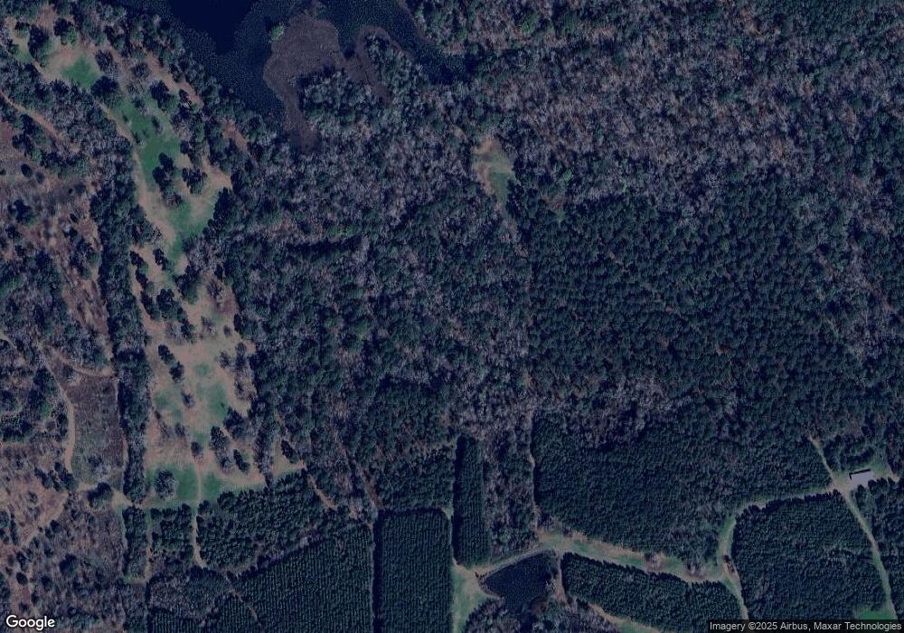
Map
Nearby Homes
- 333 Shallowbrook Farms Rd
- 131 Pheasant Ridge
- 10087 Springhill Rd
- 10119 Springhill Rd
- 107 Hiding Place
- 396 Meander Trace
- Lot 25 A Avalon Way Unit 25-A
- 122 Avalon Way
- 6358 S Us Hwy 319
- 212 Acacia Blvd
- 169 Acacia Blvd
- 22 Inwood Place
- 407 Braunson St
- 201 Culpepper St
- 6908 Metcalf Rd
- 304 Bellingham Dr
- 365 W Shore Dr
- 1120 W Jackson St
- 104 Stratford Way
- 108 Crimson Cir