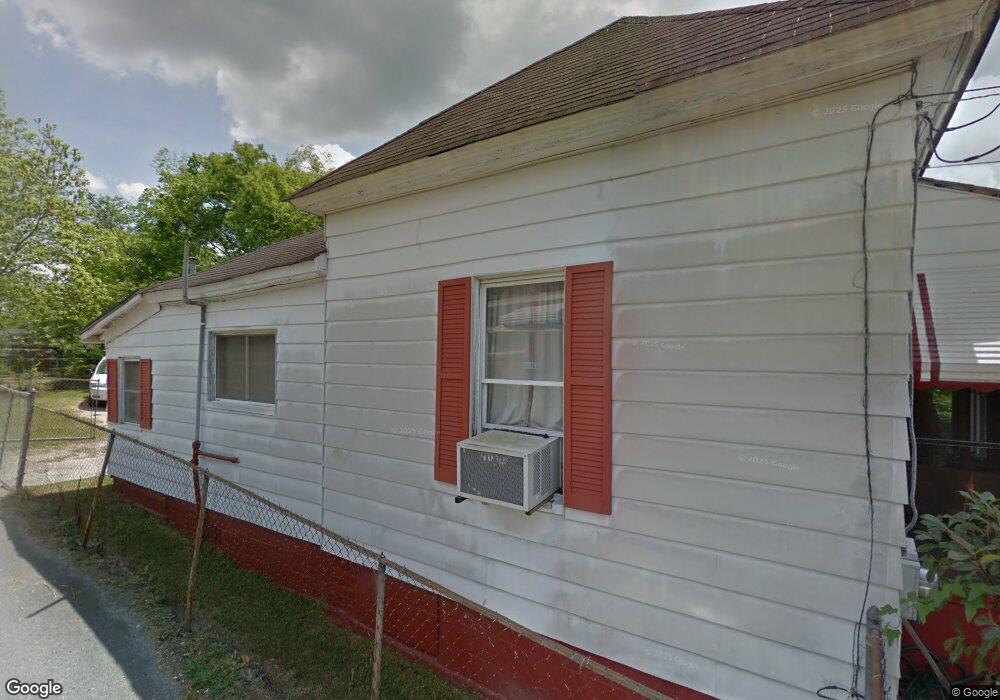
847 Maynard St Macon, GA 31217
Fort Hill Historic District NeighborhoodEstimated Value: $34,046 - $81,000
3
Beds
1
Bath
1,074
Sq Ft
$55/Sq Ft
Est. Value
About This Home
This home is located at 847 Maynard St, Macon, GA 31217 and is currently estimated at $59,012, approximately $54 per square foot. 847 Maynard St is a home located in Bibb County with nearby schools including Burdell Elementary School, Appling Middle School, and Northeast High School.
Ownership History
Date
Name
Owned For
Owner Type
Purchase Details
Closed on
Sep 10, 2021
Sold by
National Property Assistance Llc
Bought by
Peyton Enterprise Llc
Current Estimated Value
Purchase Details
Closed on
Sep 1, 2021
Sold by
Merkerson Jacqulyn and Estate Of Josephine L Jackson
Bought by
National Property Assistance Llc
Purchase Details
Closed on
Dec 28, 1968
Sold by
Hawes W N
Bought by
Jackson Josephine L Robert H
Create a Home Valuation Report for This Property
The Home Valuation Report is an in-depth analysis detailing your home's value as well as a comparison with similar homes in the area
Home Values in the Area
Average Home Value in this Area
Purchase History
| Date | Buyer | Sale Price | Title Company |
|---|---|---|---|
| Peyton Enterprise Llc | $13,000 | None Available | |
| Peyton Enterprise Llc | $13,000 | Smith Michelle | |
| National Property Assistance Llc | $2,000 | None Available | |
| National Property Assistance Llc | -- | Smith Michelle | |
| Jackson Josephine L Robert H | $100 | -- |
Source: Public Records
Tax History Compared to Growth
Tax History
| Year | Tax Paid | Tax Assessment Tax Assessment Total Assessment is a certain percentage of the fair market value that is determined by local assessors to be the total taxable value of land and additions on the property. | Land | Improvement |
|---|---|---|---|---|
| 2025 | $346 | $14,098 | $2,860 | $11,238 |
| 2024 | $299 | $11,758 | $1,560 | $10,198 |
| 2023 | $292 | $11,498 | $1,300 | $10,198 |
| 2022 | $180 | $7,276 | $1,789 | $5,487 |
| 2021 | $214 | $5,633 | $671 | $4,962 |
| 2020 | $199 | $5,137 | $671 | $4,466 |
| 2019 | $182 | $4,641 | $671 | $3,970 |
| 2018 | $120 | $4,641 | $671 | $3,970 |
| 2017 | $151 | $4,641 | $671 | $3,970 |
| 2016 | -- | $4,640 | $671 | $3,970 |
| 2015 | $0 | $4,640 | $671 | $3,970 |
| 2014 | $42 | $5,678 | $716 | $4,962 |
Source: Public Records
Map
Nearby Homes
- 774 Maynard St
- 760 Cowan St
- 768 Maynard St
- 738 Hall St
- 727 Smith St
- 845 Norris St
- 735 Maynard St
- 751 Mitchell St
- 857 Mitchell St
- 972 Norris St
- 725 Schaeffer Place
- 658 Pringle St
- 734 Fort Hill St
- 722 Mitchell St
- 348 Woolfolk St
- 866 Stewart St
- 1059 Fort Hill St
- 1024 Clarks Ln
- 1012 Emery Hwy
- 769 Bowman St
- 833 Maynard St
- 859 Maynard St
- 809 Maynard St
- 821 Maynard St
- 858 Schaeffer Place
- 832 Schaeffer Place
- 870 Schaeffer Place
- 883 Maynard St
- 844 Maynard St
- 832 Maynard St
- 858 Maynard St
- 845 Schaeffer Place
- 826 Maynard St
- 891 Maynard St
- 870 Maynard St
- 855 Schaeffer Place
- 894 Maynard St
- 772 Cowan St
- 857 Hall St
- 855 Smith St