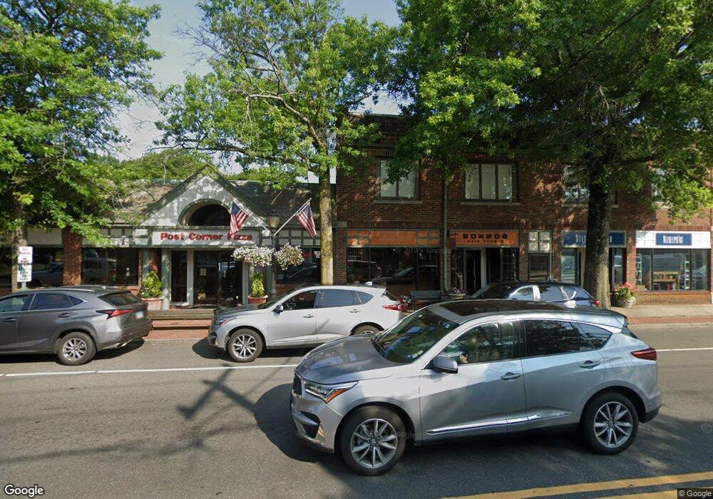
847 Post Rd Darien, CT 06820
Estimated Value: $10,717,136
1
Bed
1
Bath
800
Sq Ft
$13,396/Sq Ft
Est. Value
About This Home
This home is located at 847 Post Rd, Darien, CT 06820 and is currently estimated at $10,717,136, approximately $13,396 per square foot. 847 Post Rd is a home located in Fairfield County with nearby schools including Royle Elementary School, Middlesex Middle School, and Darien High School.
Ownership History
Date
Name
Owned For
Owner Type
Purchase Details
Closed on
May 29, 2007
Sold by
Sofronas John and Sofronas Catherine
Bought by
Kjd Property Llc
Current Estimated Value
Home Financials for this Owner
Home Financials are based on the most recent Mortgage that was taken out on this home.
Original Mortgage
$5,640,000
Interest Rate
6.5%
Mortgage Type
Commercial
Create a Home Valuation Report for This Property
The Home Valuation Report is an in-depth analysis detailing your home's value as well as a comparison with similar homes in the area
Home Values in the Area
Average Home Value in this Area
Purchase History
| Date | Buyer | Sale Price | Title Company |
|---|---|---|---|
| Kjd Property Llc | $7,440,000 | -- |
Source: Public Records
Mortgage History
| Date | Status | Borrower | Loan Amount |
|---|---|---|---|
| Open | Kjd Property Llc | $3,337,500 | |
| Closed | Kjd Property Llc | $300,000 | |
| Closed | Kjd Property Llc | $5,640,000 |
Source: Public Records
Tax History
| Year | Tax Paid | Tax Assessment Tax Assessment Total Assessment is a certain percentage of the fair market value that is determined by local assessors to be the total taxable value of land and additions on the property. | Land | Improvement |
|---|---|---|---|---|
| 2025 | $42,765 | $2,762,620 | $1,503,320 | $1,259,300 |
| 2024 | $40,583 | $2,762,620 | $1,503,320 | $1,259,300 |
| 2023 | $40,668 | $2,309,370 | $1,366,610 | $942,760 |
| 2022 | $39,790 | $2,309,370 | $1,366,610 | $942,760 |
| 2021 | $8,013 | $2,309,370 | $1,366,610 | $942,760 |
| 2020 | $4,945 | $2,309,370 | $1,366,610 | $942,760 |
| 2019 | $4,945 | $2,309,370 | $1,366,610 | $942,760 |
| 2018 | $6,674 | $2,352,560 | $1,366,610 | $985,950 |
| 2017 | $4,899 | $2,392,390 | $1,366,610 | $1,025,780 |
| 2016 | $42,873 | $2,718,660 | $1,366,610 | $1,352,050 |
| 2015 | $41,700 | $2,716,630 | $1,364,580 | $1,352,050 |
| 2014 | $40,777 | $2,716,630 | $1,364,580 | $1,352,050 |
Source: Public Records
Map
Nearby Homes
- 20 Locust Hill Rd
- 2 Settlers Trail Unit 2
- 6 Ward Ln Unit 6
- 10 Stony Brook Rd
- 19 Circle Rd
- 18 Winding Ln
- 171 Raymond St
- 5 Shields Ln
- 2 Red Rose Cir
- 10 Cross Rd
- 29 Richmond Dr
- 14 5 Mile River Rd
- 223 Middlesex Rd
- 3 Revere Rd
- 18 Tokeneke Trail
- 12 Dellwood Rd
- 9 Arnold Ln
- 97 Richards Ave Unit B10
- 5 Little Brook Rd
- 105 Richards Ave Unit 1407
- 847 Boston Post Rd
- 8 Mansfield Ave Unit 1/FL
- 8 Mansfield Ave
- 835 Post Rd Unit 2
- 835 Post Rd Unit 1
- 12 Mansfield Ave
- 14 Mansfield Ave
- 868-870 Boston Post Rd
- 885 Post Rd Unit 3B
- 885 Post Rd Unit 2B
- 885 Post Rd Unit 3C
- 885 Post Rd Unit 2C
- 835 Boston Post Rd Unit 4
- 835 Boston Post Rd Unit 1
- 35 Sedgwick Ave
- 880 Boston Post Rd Unit 4
- 879 Post Rd Unit 6820
- 879 Post Rd
- 895 Boston Post Rd
- 897 Boston Post Rd
Your Personal Tour Guide
Ask me questions while you tour the home.