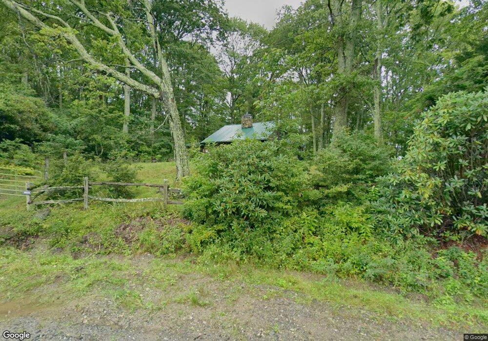
8472 Max Patch Rd Hot Springs, NC 28743
Estimated Value: $282,000 - $317,000
2
Beds
1
Bath
864
Sq Ft
$347/Sq Ft
Est. Value
About This Home
This home is located at 8472 Max Patch Rd, Hot Springs, NC 28743 and is currently estimated at $299,500, approximately $346 per square foot. 8472 Max Patch Rd is a home with nearby schools including Riverbend Elementary, Waynesville Middle, and Tuscola High.
Ownership History
Date
Name
Owned For
Owner Type
Purchase Details
Closed on
Dec 22, 2020
Sold by
Lenk Alan J
Bought by
Militello Elaine E
Current Estimated Value
Purchase Details
Closed on
Feb 5, 2007
Sold by
Barrett Kerry R and Barrett Estella M
Bought by
Lenk Alan J
Home Financials for this Owner
Home Financials are based on the most recent Mortgage that was taken out on this home.
Original Mortgage
$130,000
Interest Rate
6%
Mortgage Type
Adjustable Rate Mortgage/ARM
Create a Home Valuation Report for This Property
The Home Valuation Report is an in-depth analysis detailing your home's value as well as a comparison with similar homes in the area
Purchase History
| Date | Buyer | Sale Price | Title Company |
|---|---|---|---|
| Militello Elaine E | $190,000 | None Available | |
| Lenk Alan J | $150,000 | None Available |
Source: Public Records
Mortgage History
| Date | Status | Borrower | Loan Amount |
|---|---|---|---|
| Previous Owner | Lenk Alan J | $130,000 |
Source: Public Records
Tax History
| Year | Tax Paid | Tax Assessment Tax Assessment Total Assessment is a certain percentage of the fair market value that is determined by local assessors to be the total taxable value of land and additions on the property. | Land | Improvement |
|---|---|---|---|---|
| 2025 | -- | $128,700 | $29,600 | $99,100 |
| 2024 | $9 | $128,700 | $29,600 | $99,100 |
| 2023 | $867 | $128,700 | $29,600 | $99,100 |
| 2022 | $848 | $128,700 | $29,600 | $99,100 |
| 2021 | $848 | $128,700 | $29,600 | $99,100 |
| 2020 | $745 | $100,100 | $26,800 | $73,300 |
| 2019 | $750 | $100,100 | $26,800 | $73,300 |
| 2018 | $750 | $100,100 | $26,800 | $73,300 |
| 2017 | $750 | $100,100 | $0 | $0 |
| 2016 | $744 | $102,400 | $0 | $0 |
| 2015 | $744 | $102,400 | $0 | $0 |
| 2014 | -- | $102,400 | $0 | $0 |
Source: Public Records
Map
Nearby Homes
- 0 Tbd Beechwood Rd Unit 25
- 999 Juniper Rd
- 1050 Turkey Trot Rd
- Tract 2 Turkey Trot Rd
- 1007 Turkey Trot Rd
- 35 Flying Hawk Way
- 8020 Meadow Fork Rd
- 00 Mule Stomp Rd
- 00 Morris Rd
- 00 Stonehouse Trail
- 186 Creekmont Dr
- 0000 Short Ridge Ln
- 00 Sallys Branch Rd
- 93 Merry Way
- 350 Scott's Trail
- 0 Mcnary Dr
- Lot 5 Mcnary Dr
- 00 Mcnary Dr Unit 8
- 682 Rock House Rd
- 61 Doe Loop
- 154 Holly Rd
- 145 Hawthorn Rd
- 00 Hickory Ridge Rd
- TBD Max Patch Rd
- 9 Shagbark Trail
- 63 Redbud Ln
- 198 Brick Holler Ln
- 292 Hickory Ridge Rd
- 125 Brick Holler Ln
- 157 Redbud Ln
- 178 Brick Holler Ln
- 428 Hickory Ridge Rd
- 60 Balsam Rd
- 18 Basswood St
- 18 Basswood Rd
- 00 Basswood Rd
- 299 Basswood Rd
- 10400 Meadow Fork Rd
- 1245 Max Patch Rd
- 1180 Max Patch Rd
Your Personal Tour Guide
Ask me questions while you tour the home.