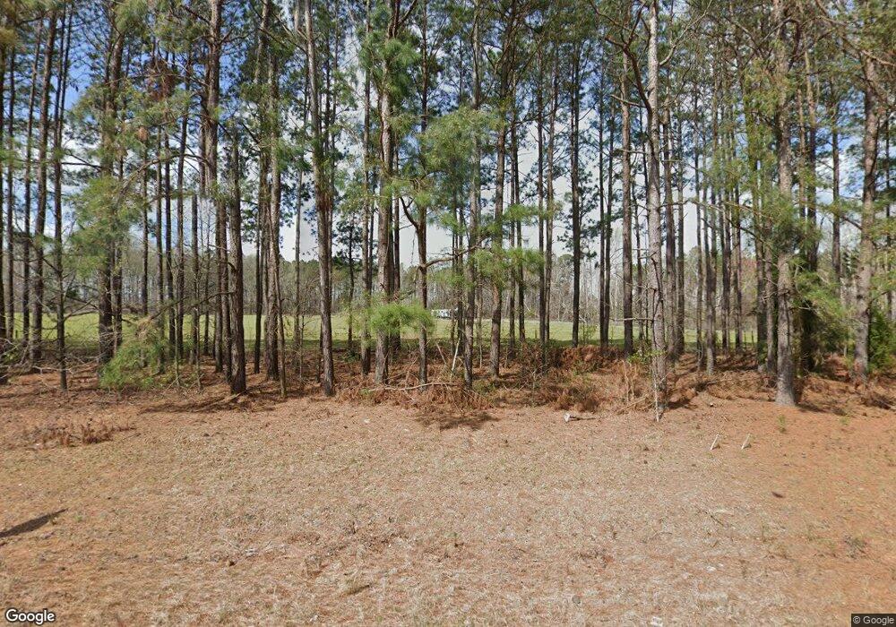
8477 Ga Highway 305 Waynesboro, GA 30830
Estimated Value: $96,000 - $287,000
3
Beds
2
Baths
1,782
Sq Ft
$97/Sq Ft
Est. Value
About This Home
This home is located at 8477 Ga Highway 305, Waynesboro, GA 30830 and is currently estimated at $172,076, approximately $96 per square foot. 8477 Ga Highway 305 is a home with nearby schools including Burke County High School.
Ownership History
Date
Name
Owned For
Owner Type
Purchase Details
Closed on
May 5, 2014
Sold by
Lewis Robert Brian
Bought by
Farrell Emily and Farrell Edward
Current Estimated Value
Purchase Details
Closed on
Jul 15, 2011
Sold by
Lewis Robert Brian
Bought by
Franke Shawn
Home Financials for this Owner
Home Financials are based on the most recent Mortgage that was taken out on this home.
Original Mortgage
$30,000
Interest Rate
4.53%
Mortgage Type
New Conventional
Purchase Details
Closed on
Feb 14, 2006
Sold by
Not Provided
Bought by
Franke Shawn
Create a Home Valuation Report for This Property
The Home Valuation Report is an in-depth analysis detailing your home's value as well as a comparison with similar homes in the area
Home Values in the Area
Average Home Value in this Area
Purchase History
| Date | Buyer | Sale Price | Title Company |
|---|---|---|---|
| Farrell Emily | $36,450 | -- | |
| Franke Shawn | $29,750 | -- | |
| Franke Shawn | $68,450 | -- |
Source: Public Records
Mortgage History
| Date | Status | Borrower | Loan Amount |
|---|---|---|---|
| Previous Owner | Franke Shawn | $30,000 |
Source: Public Records
Tax History Compared to Growth
Tax History
| Year | Tax Paid | Tax Assessment Tax Assessment Total Assessment is a certain percentage of the fair market value that is determined by local assessors to be the total taxable value of land and additions on the property. | Land | Improvement |
|---|---|---|---|---|
| 2024 | $896 | $45,932 | $17,608 | $28,324 |
| 2023 | $971 | $45,461 | $16,456 | $29,005 |
| 2022 | $646 | $30,239 | $12,111 | $18,128 |
| 2021 | $834 | $40,021 | $12,111 | $27,910 |
| 2020 | $835 | $40,021 | $12,111 | $27,910 |
| 2019 | $865 | $40,692 | $12,111 | $28,581 |
| 2018 | $923 | $43,391 | $12,111 | $31,280 |
| 2017 | $997 | $46,478 | $14,131 | $32,347 |
| 2016 | $682 | $32,283 | $14,131 | $18,152 |
| 2015 | $680 | $31,951 | $14,131 | $17,820 |
| 2014 | $685 | $31,951 | $14,131 | $17,820 |
| 2013 | -- | $31,951 | $14,131 | $17,820 |
Source: Public Records
Map
Nearby Homes
- 0 Bailey Rd
- 1838 Bailey Rd
- 3395 Gough Rd
- 5950 Ga Highway 24 E
- 98.63 acres Gay Rd
- 2051 Gough Rd
- 0 Gay Rd
- 2765 Steiner Place Rd
- 11358 Zebina Rd
- 356 Massey-Doss Rd
- 0 Gough Rd Unit 545033
- 3280 Eden Church Rd
- 0 Netherland Dr
- 0 Carson Rd
- Georgia 305
- 0000 Mcbride St
- 1163 Fairlane Dr
- 1052 Fairlane Dr
- 0 Middle Ground Rd
- 0 Middle Ground Rd Unit 10497061
- 435 N College Ave
- 130 Bradley Dr
- 189 Bradley Dr
- 218 Bradley Dr
- 8727 Ga Highway 305
- 211 N College Ave
- 221 N College Ave
- 211 N College Ave
- 134 N College Ave
- 171 Johnson Ave
- 131 N College Ave
- 8098 Ga Highway 305
- 8098 Georgia 305
- 112 N College Ave
- 112 N College Ave
- 6958 Ga Highway 24 W
- 7094 Ga Highway 24 W
- 8673 Ga Highway 305
- 8673 Ga Highway 305
- 7979 Highway 305
