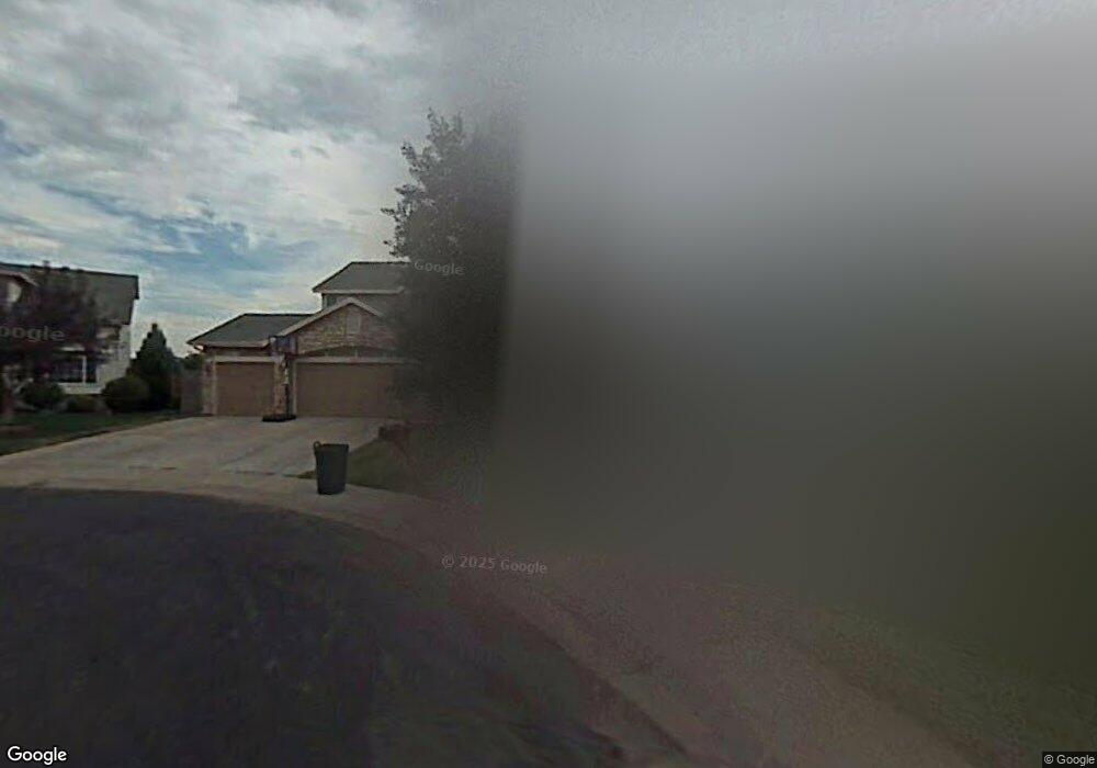
8479 W 95th Dr Broomfield, CO 80021
Kings Mill NeighborhoodEstimated Value: $735,000 - $808,000
4
Beds
5
Baths
2,455
Sq Ft
$310/Sq Ft
Est. Value
About This Home
This home is located at 8479 W 95th Dr, Broomfield, CO 80021 and is currently estimated at $761,831, approximately $310 per square foot. 8479 W 95th Dr is a home located in Jefferson County with nearby schools including Lukas Elementary School, Wayne Carle Middle School, and Standley Lake High School.
Ownership History
Date
Name
Owned For
Owner Type
Purchase Details
Closed on
Jul 13, 2020
Sold by
Vencill Susan L
Bought by
Vencill Susan L and Johnson Donald
Current Estimated Value
Purchase Details
Closed on
Sep 15, 2004
Sold by
Johnson Donald A
Bought by
Vencill Susan L
Purchase Details
Closed on
Aug 12, 1999
Sold by
Vencill Susan L
Bought by
Vencill Susan L and Johnson Donald A
Home Financials for this Owner
Home Financials are based on the most recent Mortgage that was taken out on this home.
Original Mortgage
$30,000
Interest Rate
7.68%
Mortgage Type
Credit Line Revolving
Purchase Details
Closed on
Oct 27, 1994
Sold by
The Ryland Group Inc
Bought by
Vencill Susan L
Home Financials for this Owner
Home Financials are based on the most recent Mortgage that was taken out on this home.
Original Mortgage
$176,150
Interest Rate
8.62%
Create a Home Valuation Report for This Property
The Home Valuation Report is an in-depth analysis detailing your home's value as well as a comparison with similar homes in the area
Home Values in the Area
Average Home Value in this Area
Purchase History
| Date | Buyer | Sale Price | Title Company |
|---|---|---|---|
| Vencill Susan L | -- | None Available | |
| Vencill Susan L | -- | -- | |
| Vencill Susan L | -- | Land Title | |
| Vencill Susan L | $220,201 | Land Title |
Source: Public Records
Mortgage History
| Date | Status | Borrower | Loan Amount |
|---|---|---|---|
| Previous Owner | Vencill Susan L | $30,000 | |
| Previous Owner | Vencill Susan L | $176,150 |
Source: Public Records
Tax History Compared to Growth
Tax History
| Year | Tax Paid | Tax Assessment Tax Assessment Total Assessment is a certain percentage of the fair market value that is determined by local assessors to be the total taxable value of land and additions on the property. | Land | Improvement |
|---|---|---|---|---|
| 2024 | $3,275 | $49,700 | $13,352 | $36,348 |
| 2023 | $3,275 | $49,700 | $13,352 | $36,348 |
| 2022 | $3,249 | $41,782 | $9,218 | $32,564 |
| 2021 | $3,297 | $42,985 | $9,484 | $33,501 |
| 2020 | $2,925 | $38,355 | $8,877 | $29,478 |
| 2019 | $2,879 | $38,355 | $8,877 | $29,478 |
| 2018 | $2,598 | $33,462 | $7,102 | $26,360 |
| 2017 | $2,326 | $33,462 | $7,102 | $26,360 |
| 2016 | $2,485 | $33,165 | $6,794 | $26,371 |
| 2015 | $2,116 | $33,165 | $6,794 | $26,371 |
| 2014 | $2,116 | $26,332 | $6,408 | $19,924 |
Source: Public Records
Map
Nearby Homes
- 9409 Brentwood St
- 9567 Brentwood Way Unit A
- 9663 Brentwood Way Unit B
- 9705 Carr Cir
- 9703 Independence Dr Unit 9703
- 9702 Carr Cir
- 9677 Independence Dr Unit 9677
- 9324 Field Ln
- 9863 Zephyr Dr
- 8755 W 96th Dr
- 9495 Webster Way
- 10690 Dover St
- 9805 Garrison Ct
- 9263 W 98th Way
- 9251 Wadsworth Blvd
- 9401 W 98th Ave
- 8357 W 90th Place Unit 1703
- 7423 W 93rd Place
- 9026 Ammons Ct
- 7810 W 90th Dr
- 8471 W 95th Dr
- 8481 W 95th Dr
- 9468 Brentwood St
- 8489 W 95th Dr
- 9464 Brentwood St
- 8469 W 95th Dr
- 8491 W 95th Dr
- 8499 W 95th Dr
- 8480 W 95th Dr
- 8490 W 95th Dr
- 9463 Brentwood St
- 9460 Brentwood St
- 8461 W 95th Dr
- 8470 W 95th Dr
- 8510 W 95th Dr
- 9662 Brentwood Way Unit 304
- 9662 Brentwood Way Unit 303
- 9662 Brentwood Way Unit 302
- 9662 Brentwood Way Unit 301
- 9662 Brentwood Way Unit 208