848 Carruthers Rd Montgomery, MI 49255
Estimated Value: $110,000 - $200,000
Studio
--
Bath
1,376
Sq Ft
$116/Sq Ft
Est. Value
About This Home
This home is located at 848 Carruthers Rd, Montgomery, MI 49255 and is currently estimated at $160,109, approximately $116 per square foot. 848 Carruthers Rd is a home located in Branch County with nearby schools including Jennings Elementary School, Quincy Middle School, and Quincy High School.
Ownership History
Date
Name
Owned For
Owner Type
Purchase Details
Closed on
Jul 10, 2020
Sold by
Longardner Diane Lynn
Bought by
Prater Kari L and Prater Michael K
Current Estimated Value
Purchase Details
Closed on
Dec 14, 2007
Sold by
Longardner Thomas Carl and Longardner Diane Lynn
Bought by
Longardner Diane Lynn
Home Financials for this Owner
Home Financials are based on the most recent Mortgage that was taken out on this home.
Original Mortgage
$68,000
Interest Rate
6.3%
Mortgage Type
New Conventional
Create a Home Valuation Report for This Property
The Home Valuation Report is an in-depth analysis detailing your home's value as well as a comparison with similar homes in the area
Purchase History
| Date | Buyer | Sale Price | Title Company |
|---|---|---|---|
| Prater Kari L | -- | None Available | |
| Longardner Diane Lynn | -- | None Available |
Source: Public Records
Mortgage History
| Date | Status | Borrower | Loan Amount |
|---|---|---|---|
| Previous Owner | Longardner Diane Lynn | $68,000 |
Source: Public Records
Tax History
| Year | Tax Paid | Tax Assessment Tax Assessment Total Assessment is a certain percentage of the fair market value that is determined by local assessors to be the total taxable value of land and additions on the property. | Land | Improvement |
|---|---|---|---|---|
| 2025 | $1,445 | $63,774 | $0 | $0 |
| 2024 | $5 | $60,834 | $0 | $0 |
| 2023 | $498 | $52,984 | $0 | $0 |
| 2022 | $498 | $50,430 | $0 | $0 |
| 2020 | -- | $45,272 | $0 | $0 |
| 2019 | -- | $43,182 | $0 | $0 |
| 2018 | -- | $44,089 | $0 | $0 |
| 2017 | -- | $43,768 | $0 | $0 |
| 2016 | -- | $43,798 | $0 | $0 |
| 2015 | -- | $43,630 | $0 | $0 |
| 2014 | -- | $40,416 | $0 | $0 |
| 2013 | -- | $39,602 | $0 | $0 |
Source: Public Records
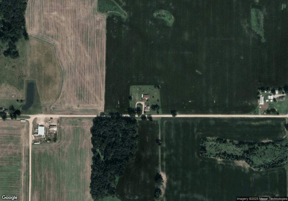
Map
Nearby Homes
- V/L Delmar Rd
- 646 E Copeland Rd
- 716 Bayside Ln
- 735 Bright Water Dr
- 919 Nature Ln
- 6405 N 300 E
- 00 N 300 Rd E
- 585 Berrynoll Ct
- 511 E Southern Rd
- 300 N Coldwater St
- 1003 Nicholas Trail
- 400 W Toledo St
- 50 Janedale Dr
- 481 Quimby Rd
- 0 Warren Rd
- 219 N Hayward St
- 497 Iyopawa Rd
- 731 Blackfoot Ct
- 728 Blackfoot Ct
- 437 Kenaston Dr
- 876 Hamman Rd
- 876 Carruthers Rd
- 848 Hamman Rd
- 853 Hamman Rd
- 837 Hamman Rd
- 900 S Ray Quincy Rd
- 935 Hamman Rd
- 494 E Pearl Rd
- 805 Hamman Rd
- 0 Hamman Rd
- 876 S Ray Quincy Rd
- 868 S Ray Quincy Rd
- 898 S Ray Quincy Rd
- 955 E Copeland Rd
- 936 E Copeland Rd
- 794 Hamman Rd
- 950 Hamman Rd
- 960 E Copeland Rd
- 971 E Copeland Rd
- 964 E Copeland Rd
Your Personal Tour Guide
Ask me questions while you tour the home.