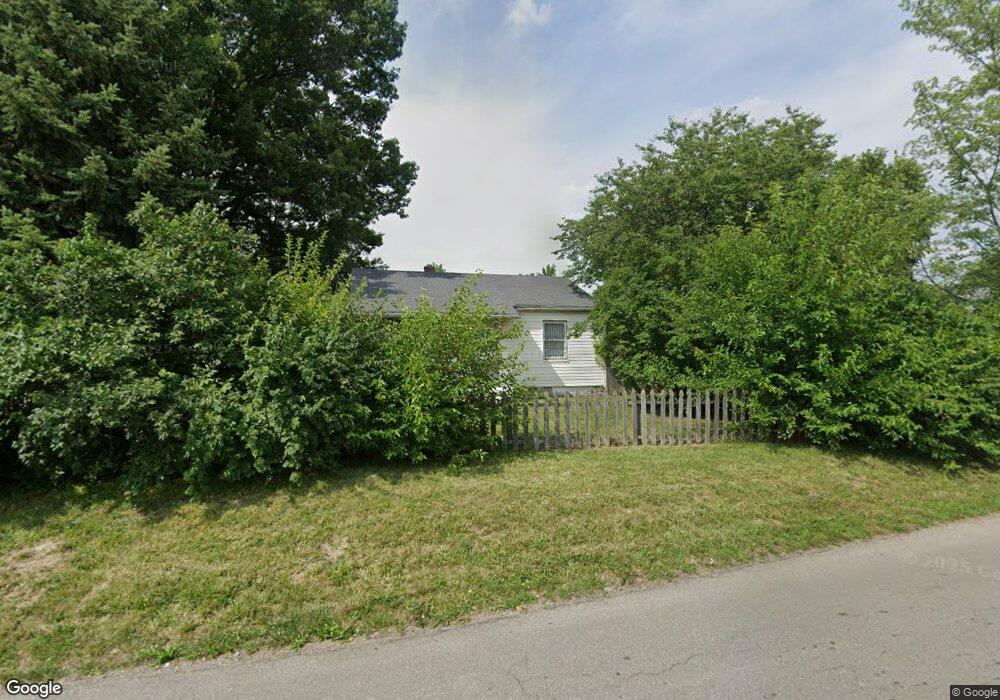
848 E Maynard Ave Columbus, OH 43211
South Linden NeighborhoodEstimated Value: $102,000 - $139,000
2
Beds
1
Bath
792
Sq Ft
$147/Sq Ft
Est. Value
About This Home
This home is located at 848 E Maynard Ave, Columbus, OH 43211 and is currently estimated at $116,510, approximately $147 per square foot. 848 E Maynard Ave is a home located in Franklin County with nearby schools including Como Elementary School, Dominion Middle School, and Whetstone High School.
Ownership History
Date
Name
Owned For
Owner Type
Purchase Details
Closed on
Mar 2, 2015
Sold by
Al Ghazawi Khalid
Bought by
Rakea Ahmed
Current Estimated Value
Purchase Details
Closed on
Oct 24, 2006
Sold by
Deutsche Bank National Trust Co
Bought by
Al Ghazawi Khalid
Purchase Details
Closed on
Mar 20, 2006
Sold by
Kinder Wendy S and Ochs Wendy S
Bought by
Deutsche Bank National Trust Co
Purchase Details
Closed on
Oct 4, 1991
Bought by
Ochs Joseph A
Purchase Details
Closed on
Mar 5, 1991
Purchase Details
Closed on
Nov 12, 1987
Create a Home Valuation Report for This Property
The Home Valuation Report is an in-depth analysis detailing your home's value as well as a comparison with similar homes in the area
Home Values in the Area
Average Home Value in this Area
Purchase History
| Date | Buyer | Sale Price | Title Company |
|---|---|---|---|
| Rakea Ahmed | -- | None Available | |
| Al Ghazawi Khalid | $48,000 | Gerner & Kearns Co | |
| Deutsche Bank National Trust Co | $55,285 | None Available | |
| Ochs Joseph A | $32,000 | -- | |
| -- | $30,000 | -- | |
| -- | -- | -- |
Source: Public Records
Tax History Compared to Growth
Tax History
| Year | Tax Paid | Tax Assessment Tax Assessment Total Assessment is a certain percentage of the fair market value that is determined by local assessors to be the total taxable value of land and additions on the property. | Land | Improvement |
|---|---|---|---|---|
| 2024 | $2,144 | $27,650 | $5,320 | $22,330 |
| 2023 | $1,575 | $27,650 | $5,320 | $22,330 |
| 2022 | $1,429 | $15,440 | $3,920 | $11,520 |
| 2021 | $822 | $15,440 | $3,920 | $11,520 |
| 2020 | $803 | $15,440 | $3,920 | $11,520 |
| 2019 | $778 | $12,820 | $3,260 | $9,560 |
| 2018 | $659 | $12,820 | $3,260 | $9,560 |
| 2017 | $777 | $12,820 | $3,260 | $9,560 |
| 2016 | $580 | $8,750 | $2,590 | $6,160 |
| 2015 | $541 | $8,750 | $2,590 | $6,160 |
| 2014 | $673 | $11,170 | $2,590 | $8,580 |
| 2013 | $368 | $12,390 | $2,870 | $9,520 |
Source: Public Records
Map
Nearby Homes
- 2247 Atwood Terrace
- 2315 Hiawatha Park Dr
- 2352 Hiawatha Park Dr
- 2214 Grasmere Ave
- 2383 Hiawatha Park Dr Unit 2385
- 2389 Hiawatha Park Dr Unit 391
- 968 Duxberry Ave
- 2390 Atwood Terrace
- 2173 Lexington Ave
- 2243-2245 Lexington Ave
- 2487 Azelda St
- 2301 Jefferson Ave
- 2495 Pontiac St
- 2166 Lexington Ave
- 1084 E Hudson St
- 2544 Azelda St
- 2234 Hamilton Ave
- 2453 McGuffey Rd
- 2210 Gerbert Rd
- 2315 Gerbert Rd
- 856 E Maynard Ave
- 2250 Hiawatha Park Dr
- 2254 Hiawatha Park Dr Unit 256
- 2228 Hiawatha Park Dr
- 2262 Hiawatha Park Dr
- 2222 Hiawatha Park Dr
- 2231 Atwood Terrace
- 2235 Atwood Terrace
- 2243 Atwood Terrace
- 2241 Hiawatha Park Dr
- 2266 Hiawatha Park Dr Unit 268
- 2266-2268 Hiawatha Park Dr
- 2218 Hiawatha Park Dr
- 2219 Atwood Terrace
- 2257 Hiawatha Park Dr
- 2253 Atwood Terrace
- 2215 Atwood Terrace
- 2247 Hiawatha Park Dr
- 827 E Maynard Ave
- 2270 Hiawatha Park Dr Unit 272