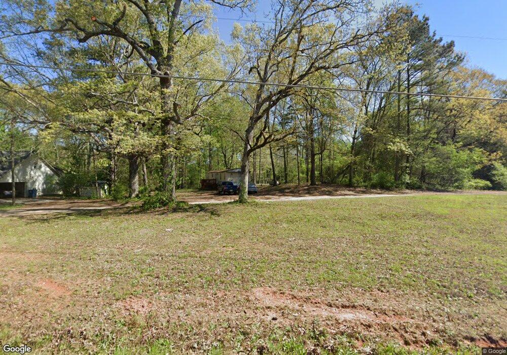
848 Manning Gin Rd Monroe, GA 30656
Estimated Value: $360,000 - $391,000
--
Bed
--
Bath
1,691
Sq Ft
$225/Sq Ft
Est. Value
About This Home
This home is located at 848 Manning Gin Rd, Monroe, GA 30656 and is currently estimated at $380,123, approximately $224 per square foot. 848 Manning Gin Rd is a home with nearby schools including Bethlehem Elementary School, Haymon-Morris Middle School, and Apalachee High School.
Ownership History
Date
Name
Owned For
Owner Type
Purchase Details
Closed on
May 27, 2005
Sold by
Cavin Mildred M
Bought by
Stanford Eugene T and Stanford Patrica D
Current Estimated Value
Create a Home Valuation Report for This Property
The Home Valuation Report is an in-depth analysis detailing your home's value as well as a comparison with similar homes in the area
Home Values in the Area
Average Home Value in this Area
Purchase History
| Date | Buyer | Sale Price | Title Company |
|---|---|---|---|
| Stanford Eugene T | -- | -- |
Source: Public Records
Tax History Compared to Growth
Tax History
| Year | Tax Paid | Tax Assessment Tax Assessment Total Assessment is a certain percentage of the fair market value that is determined by local assessors to be the total taxable value of land and additions on the property. | Land | Improvement |
|---|---|---|---|---|
| 2024 | $2,838 | $118,387 | $39,488 | $78,899 |
| 2023 | $2,412 | $118,387 | $39,488 | $78,899 |
| 2022 | $2,347 | $85,421 | $39,488 | $45,933 |
| 2021 | $2,130 | $73,728 | $31,590 | $42,138 |
| 2020 | $1,809 | $62,893 | $24,549 | $38,344 |
| 2019 | $1,841 | $62,893 | $24,549 | $38,344 |
| 2018 | $1,816 | $62,893 | $24,549 | $38,344 |
| 2017 | $1,662 | $57,097 | $24,549 | $32,548 |
| 2016 | $1,620 | $57,454 | $24,549 | $32,905 |
| 2015 | $1,638 | $57,812 | $24,549 | $33,262 |
| 2014 | $1,284 | $45,649 | $12,029 | $33,620 |
| 2013 | -- | $43,988 | $12,029 | $31,958 |
Source: Public Records
Map
Nearby Homes
- 0 Manning Gin Rd Unit 10529477
- 0 Manning Gin Rd Unit 7585578
- 3629 Perry Smith Rd NW
- 1625 Austin Rd
- 296 Westminster Trail
- 131 Wallace Dr
- 111 Mockingbird Ln Unit 15
- 159 Mockingbird Ln Unit 16
- 142 Brockton Way Unit 9
- 199 Mockingbird Ln Unit 17
- 3300 Jack Glass Rd
- 225 Mockingbird Ln Unit 18
- 247 Mockingbird Ln Unit 19
- 271 Mockingbird Ln Unit 20
- 291 Mockingbird Ln Unit 21
- 101 Westminster Ct
- 140 Westminster Ct
- 258 Westminster Ct
- 837 Manning Gin Rd
- 835 Manning Gin Rd
- 1004 Smith Chapel Rd
- 754 Manning Gin Rd
- 1006 Smith Chapel Rd
- 1700 Jeremy Dr
- 1015 Smith Chapel Rd
- 1706 Jeremy Dr
- 1704 Jeremy Dr
- 812 Manning Gin Rd
- 1701 Jeremy Dr
- 1010 Smith Chapel Rd
- 806 Manning Gin Rd
- 1703 Jeremy Dr
- 866 Manning Gin Rd
- 1017 Smith Chapel Rd Unit 2
- 1017 Smith Chapel Rd
- 1705 Jeremy Dr
- 863 Manning Gin Rd
- 1014 Smith Chapel Rd
