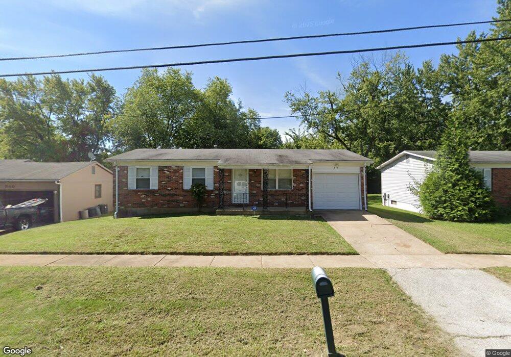
848 Prigge Rd Saint Louis, MO 63138
Estimated Value: $135,000 - $166,000
3
Beds
2
Baths
1,202
Sq Ft
$122/Sq Ft
Est. Value
About This Home
This home is located at 848 Prigge Rd, Saint Louis, MO 63138 and is currently estimated at $146,325, approximately $121 per square foot. 848 Prigge Rd is a home located in St. Louis County with nearby schools including Larimore Elementary School, Southeast Middle School, and Hazelwood East High School.
Ownership History
Date
Name
Owned For
Owner Type
Purchase Details
Closed on
Jan 16, 2012
Sold by
Warren Chaunon J
Bought by
Tate Robert L and Tate Myra
Current Estimated Value
Home Financials for this Owner
Home Financials are based on the most recent Mortgage that was taken out on this home.
Original Mortgage
$26,175
Outstanding Balance
$17,923
Interest Rate
4.03%
Mortgage Type
New Conventional
Estimated Equity
$128,402
Purchase Details
Closed on
Aug 28, 2001
Sold by
Kahr Otto J and Kahr Donna
Bought by
Warren Chaunon J
Home Financials for this Owner
Home Financials are based on the most recent Mortgage that was taken out on this home.
Original Mortgage
$75,200
Interest Rate
6.84%
Mortgage Type
FHA
Create a Home Valuation Report for This Property
The Home Valuation Report is an in-depth analysis detailing your home's value as well as a comparison with similar homes in the area
Home Values in the Area
Average Home Value in this Area
Purchase History
| Date | Buyer | Sale Price | Title Company |
|---|---|---|---|
| Tate Robert L | $34,900 | Old Republic Company | |
| Warren Chaunon J | $80,000 | -- |
Source: Public Records
Mortgage History
| Date | Status | Borrower | Loan Amount |
|---|---|---|---|
| Open | Tate Robert L | $26,175 | |
| Previous Owner | Warren Chaunon J | $75,200 |
Source: Public Records
Tax History
| Year | Tax Paid | Tax Assessment Tax Assessment Total Assessment is a certain percentage of the fair market value that is determined by local assessors to be the total taxable value of land and additions on the property. | Land | Improvement |
|---|---|---|---|---|
| 2025 | $2,309 | $23,560 | $2,390 | $21,170 |
| 2024 | $2,309 | $24,340 | $2,390 | $21,950 |
| 2023 | $2,309 | $24,340 | $2,390 | $21,950 |
| 2022 | $1,821 | $17,200 | $2,000 | $15,200 |
| 2021 | $1,794 | $17,200 | $2,000 | $15,200 |
| 2020 | $1,692 | $15,050 | $1,240 | $13,810 |
| 2019 | $1,621 | $15,050 | $1,240 | $13,810 |
| 2018 | $1,466 | $12,500 | $910 | $11,590 |
| 2017 | $1,461 | $12,500 | $910 | $11,590 |
| 2016 | $1,470 | $12,410 | $2,050 | $10,360 |
| 2015 | $1,440 | $12,410 | $2,050 | $10,360 |
| 2014 | $1,745 | $15,030 | $2,850 | $12,180 |
Source: Public Records
Map
Nearby Homes
- 848 Laredo Ave
- 1019 Farmview Dr
- 11978 Del Reo Ct
- 1072 Prigge Rd
- 11709 Larimore Rd
- 11825 Larimore Rd
- 1113 Walker Ave
- 1125 Walker Ave
- 1124 Redman Blvd
- 1126 Prigge Ave
- 1135 Cove Ln
- 1153 June Ave
- 1018 Lakeview Ave
- 1131 Maple Ave
- 1149 Reale Ave
- 20 Barcelona Ave
- 1200 Baron Ave
- 2 Barcelona Ave
- 1202 Laredo Ave
- 1132 Lakeview Ave
- 856 Prigge Rd
- 840 Prigge Rd
- 809 Briarbrae Dr
- 815 Briarbrae Dr
- 860 Prigge Rd
- 803 Briarbrae Dr
- 799 Briarbrae Dr
- 11676 Petite Chalet Dr
- 820 Prigge Rd
- 793 Briarbrae Dr
- 847 Prigge Rd
- 812 Prigge Rd
- 843 Prigge Rd
- 11679 Briarbrae Ct
- 874 Prigge Rd
- 787 Briarbrae Dr
- 816 Briarbrae Dr
- 11681 Petite Chalet Dr
- 11675 Petite Chalet Dr
- 11660 Petite Chalet Dr
Your Personal Tour Guide
Ask me questions while you tour the home.