848 Stag Run Dr Unit 120 Mansfield, GA 30055
Jasper County NeighborhoodEstimated Value: $284,626 - $333,000
3
Beds
2
Baths
1,730
Sq Ft
$182/Sq Ft
Est. Value
About This Home
This home is located at 848 Stag Run Dr Unit 120, Mansfield, GA 30055 and is currently estimated at $314,157, approximately $181 per square foot. 848 Stag Run Dr Unit 120 is a home located in Jasper County with nearby schools including Jasper County Primary School, Washington Park Elementary School, and Jasper County Middle School.
Ownership History
Date
Name
Owned For
Owner Type
Purchase Details
Closed on
Nov 29, 2018
Sold by
Southfork Homes Llc
Bought by
Br Homes Llc
Current Estimated Value
Home Financials for this Owner
Home Financials are based on the most recent Mortgage that was taken out on this home.
Original Mortgage
$160,455
Outstanding Balance
$140,116
Interest Rate
4.8%
Mortgage Type
New Conventional
Estimated Equity
$174,041
Purchase Details
Closed on
Mar 28, 2018
Sold by
Embassy Development Llc
Bought by
Southfork Homes Llc
Purchase Details
Closed on
Mar 24, 2017
Sold by
Not Provided
Bought by
Embassy Development Llc
Purchase Details
Closed on
Feb 7, 2012
Purchase Details
Closed on
Jul 25, 2008
Sold by
Not Provided
Bought by
County Line Development Llc
Purchase Details
Closed on
Jun 19, 2006
Sold by
Not Provided
Bought by
County Line Development Llc
Create a Home Valuation Report for This Property
The Home Valuation Report is an in-depth analysis detailing your home's value as well as a comparison with similar homes in the area
Home Values in the Area
Average Home Value in this Area
Purchase History
| Date | Buyer | Sale Price | Title Company |
|---|---|---|---|
| Br Homes Llc | -- | -- | |
| Pitts Zachary J | $168,900 | -- | |
| Southfork Homes Llc | $20,000 | -- | |
| Embassy Development Llc | $150,500 | -- | |
| -- | $258,000 | -- | |
| County Line Development Llc | -- | -- | |
| County Line Development Llc | $660,000 | -- |
Source: Public Records
Mortgage History
| Date | Status | Borrower | Loan Amount |
|---|---|---|---|
| Open | Pitts Zachary J | $160,455 |
Source: Public Records
Tax History Compared to Growth
Tax History
| Year | Tax Paid | Tax Assessment Tax Assessment Total Assessment is a certain percentage of the fair market value that is determined by local assessors to be the total taxable value of land and additions on the property. | Land | Improvement |
|---|---|---|---|---|
| 2024 | $2,761 | $107,520 | $13,600 | $93,920 |
| 2023 | $2,562 | $99,720 | $12,000 | $87,720 |
| 2022 | $2,555 | $92,520 | $4,800 | $87,720 |
| 2021 | $2,120 | $69,720 | $3,600 | $66,120 |
| 2020 | $2,049 | $64,960 | $3,600 | $61,360 |
| 2019 | $1,993 | $60,960 | $2,000 | $58,960 |
| 2018 | $77 | $1,400 | $1,400 | $0 |
| 2017 | $71 | $1,200 | $1,200 | $0 |
| 2016 | $71 | $1,200 | $1,200 | $0 |
| 2015 | $74 | $1,200 | $1,200 | $0 |
| 2014 | $75 | $2,000 | $2,000 | $0 |
Source: Public Records
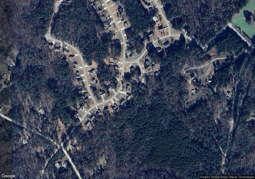
Map
Nearby Homes
- 768 Stag Run Dr
- 52 Armstrong Dr Unit 83
- 62 Armstrong Dr Unit 84
- 72 Armstrong Dr Unit 85
- 82 Armstrong Dr Unit 86
- 92 Armstrong Dr Unit 87
- 102 Armstrong Dr Unit 88
- 122 Armstrong Dr Unit 90
- 112 Armstrong Dr Unit 89
- 132 Armstrong Dr Unit 91
- 1042 Stag Run Dr
- 2.8 AC Bear Creek Point
- 115 Sourwood Dr
- 31 Sourwood Dr
- 138 Sourwood Dr
- LOTS 48,49,50 Doe Ln
- 100 Sourwood Dr
- 575 Doe Ln
- 277 Doe Ln
- 867 Bear Creek Point
- 36 Lance Ct
- 660 Stag Run Dr
- 660 Stag Run Dr Unit 119
- 40 Lance Ct
- 645 Stag Run Dr Unit 78
- 18 Lance Ct
- 655 Stag Run Dr Unit 77
- 650 Stag Run Dr Unit 118
- 675 Stag Run Dr
- 675 Stag Run Dr Unit 38
- 635 Stag Run Dr
- 635 Stag Run Dr
- 635 Stag Run Dr Unit 79
- 788 Stag Run Dr Unit 117
- 0 Lance Ct Unit M166436
- 0 Lance Ct Unit 20055073
- 699 Stag Run Dr
- 699 Stag Run Dr Unit 37
- 22 Armstrong Dr Unit 80
- 868 Stag Run Dr