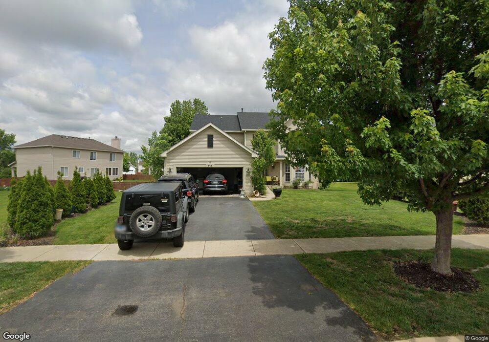
848 W Briarcliff Rd Bolingbrook, IL 60440
Lakewood Ridge NeighborhoodEstimated Value: $443,839 - $475,000
Studio
1
Bath
2,713
Sq Ft
$169/Sq Ft
Est. Value
About This Home
This home is located at 848 W Briarcliff Rd, Bolingbrook, IL 60440 and is currently estimated at $458,210, approximately $168 per square foot. 848 W Briarcliff Rd is a home located in Will County with nearby schools including Jamie Mcgee Elementary School, Jane Addams Middle School, and Bolingbrook High School.
Ownership History
Date
Name
Owned For
Owner Type
Purchase Details
Closed on
Dec 30, 2014
Sold by
Wilson Stanley and Wilson Margaret
Bought by
Viyuoh Daisy
Current Estimated Value
Purchase Details
Closed on
Jul 3, 2003
Sold by
Lakewood Ridge Llc
Bought by
Wilson Stanley and Viyuoh Daisy
Home Financials for this Owner
Home Financials are based on the most recent Mortgage that was taken out on this home.
Original Mortgage
$260,100
Interest Rate
5.36%
Mortgage Type
Purchase Money Mortgage
Create a Home Valuation Report for This Property
The Home Valuation Report is an in-depth analysis detailing your home's value as well as a comparison with similar homes in the area
Home Values in the Area
Average Home Value in this Area
Purchase History
| Date | Buyer | Sale Price | Title Company |
|---|---|---|---|
| Viyuoh Daisy | -- | None Available | |
| Wilson Stanley | $274,000 | -- |
Source: Public Records
Mortgage History
| Date | Status | Borrower | Loan Amount |
|---|---|---|---|
| Previous Owner | Wilson Stanley | $260,100 |
Source: Public Records
Tax History Compared to Growth
Tax History
| Year | Tax Paid | Tax Assessment Tax Assessment Total Assessment is a certain percentage of the fair market value that is determined by local assessors to be the total taxable value of land and additions on the property. | Land | Improvement |
|---|---|---|---|---|
| 2024 | $12,990 | $127,930 | $27,529 | $100,401 |
| 2023 | $12,990 | $115,107 | $24,770 | $90,337 |
| 2022 | $12,278 | $103,774 | $22,331 | $81,443 |
| 2021 | $10,975 | $97,031 | $20,880 | $76,151 |
| 2020 | $10,765 | $93,840 | $20,193 | $73,647 |
| 2019 | $10,394 | $89,371 | $19,231 | $70,140 |
| 2018 | $10,395 | $89,107 | $19,174 | $69,933 |
| 2017 | $10,194 | $84,461 | $18,174 | $66,287 |
| 2016 | $9,932 | $80,400 | $17,300 | $63,100 |
| 2015 | $9,370 | $77,100 | $16,600 | $60,500 |
| 2014 | $9,370 | $73,400 | $15,800 | $57,600 |
| 2013 | $9,370 | $73,400 | $15,800 | $57,600 |
Source: Public Records
Map
Nearby Homes
- 181 Hillside Dr Unit 2
- 4 Franklin Ct Unit 2
- 353 Foster Way Unit 2
- 728 Hawthorne Ct
- 275 Clifton Ln
- 177 Shady Ln
- 118 Springleaf Dr Unit 5
- VACANT W Boughton Rd
- 217 S Orchard Dr
- 237 Commonwealth Dr Unit 11
- 261 Bryant Way
- 565 Emerson Cir Unit 6
- 164 Galewood Dr
- 534 Cottonwood Cir
- 224 Kedvale Ct
- 333 Claridge Cir
- 228 Elkhorn Ct Unit B
- 556 Pontiac Ln Unit 5
- 240 Chippewa Ct Unit B
- 140 Thackeray Dr
- 844 W Briarcliff Rd
- 152 Hillside Dr Unit 2
- 156 Hillside Dr Unit 2
- 164 Hillside Dr Unit 2
- 160 Hillside Dr Unit 2
- 840 W Briarcliff Rd
- 168 Hillside Dr Unit 2
- 843 W Briarcliff Rd
- 847 W Briarcliff Rd
- 839 W Briarcliff Rd
- 172 Hillside Dr Unit 2
- 851 W Briarcliff Rd
- 161 N Orchard Dr
- 835 W Briarcliff Rd
- 855 W Briarcliff Rd
- 176 Hillside Dr Unit 2
- 157 Hillside Dr Unit 2
- 153 Hillside Dr Unit 2
- 161 Hillside Dr Unit 2
- 173 Hillside Dr Unit 2