84851 Newcomb Rd Westlake, OR 97493
Oregon Dunes NeighborhoodEstimated Value: $840,000 - $1,069,699
4
Beds
3
Baths
3,452
Sq Ft
$277/Sq Ft
Est. Value
About This Home
This home is located at 84851 Newcomb Rd, Westlake, OR 97493 and is currently estimated at $954,850, approximately $276 per square foot. 84851 Newcomb Rd is a home with nearby schools including Siuslaw Elementary School, Siuslaw Middle School, and Siuslaw High School.
Ownership History
Date
Name
Owned For
Owner Type
Purchase Details
Closed on
Oct 13, 2006
Sold by
Brandt Kevin Marlan
Bought by
Brandt Kevin Marlan and Castrobrandt Regina L
Current Estimated Value
Purchase Details
Closed on
Feb 5, 2004
Sold by
Brandt Vonda E
Bought by
Brandt Vonda E and The Vonda E Brandt Family Trust
Purchase Details
Closed on
Dec 1, 2003
Sold by
Brandt Vonda E
Bought by
Brandt Kevin Marlan
Purchase Details
Closed on
Jan 11, 2000
Sold by
Brandt Marlan G and Estate Of Valere E Brandt
Bought by
Brandt Marlan G and Brandt Vonda E
Create a Home Valuation Report for This Property
The Home Valuation Report is an in-depth analysis detailing your home's value as well as a comparison with similar homes in the area
Home Values in the Area
Average Home Value in this Area
Purchase History
| Date | Buyer | Sale Price | Title Company |
|---|---|---|---|
| Brandt Kevin Marlan | -- | Accommodation | |
| Brandt Vonda E | -- | -- | |
| Brandt Kevin Marlan | -- | Western Pioneer Title Co | |
| Brandt Marlan G | -- | Western Pioneer Title Co |
Source: Public Records
Tax History Compared to Growth
Tax History
| Year | Tax Paid | Tax Assessment Tax Assessment Total Assessment is a certain percentage of the fair market value that is determined by local assessors to be the total taxable value of land and additions on the property. | Land | Improvement |
|---|---|---|---|---|
| 2024 | $4,657 | $431,722 | -- | -- |
| 2023 | $4,657 | $419,206 | $0 | $0 |
| 2022 | $4,333 | $406,997 | $0 | $0 |
| 2021 | $4,210 | $395,143 | $0 | $0 |
| 2020 | $4,085 | $383,634 | $0 | $0 |
| 2019 | $3,921 | $372,461 | $0 | $0 |
| 2018 | $3,963 | $351,081 | $0 | $0 |
| 2017 | $3,813 | $351,081 | $0 | $0 |
| 2016 | $3,703 | $2,327 | $0 | $0 |
| 2015 | $88 | $2,259 | $0 | $0 |
| 2014 | $88 | $2,129 | $0 | $0 |
Source: Public Records
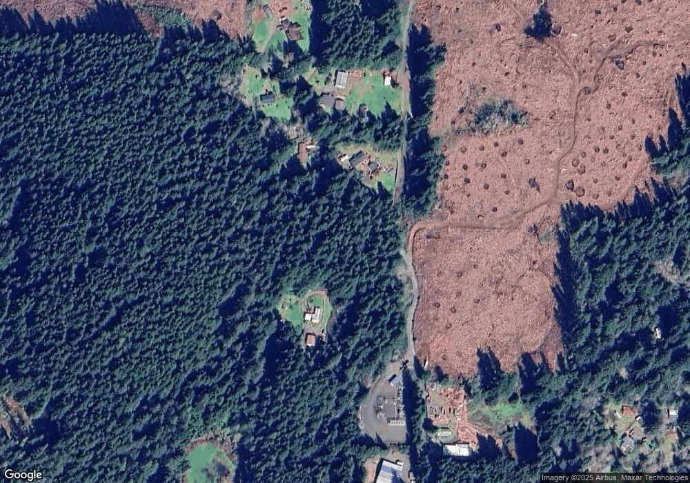
Map
Nearby Homes
- 6008 Little Woahink Dr
- 6018 Little Woahink Dr
- 6010 Little Woahink Dr
- 5700 Little Woahink Dr
- 5700 Little Woahink Dr Unit 1
- 5596 Canary Rd
- 0 Little Woahink Dr Unit 2 22424530
- 85287 Hemlock St
- 0 Woahink Dr Unit TL6501 452047484
- 85339 Glenada Rd
- 84284 Alder Dr
- 5170 Grand Ave Unit 19
- 5343 Leavitt Loop
- 0 Hwy 101 Unit 659685850
- 4990 Mitchell Loop Rd
- 0 Alder Dr Tl 03300 Dr
- 5004 N Loftus Rd
- 01113 N Loftus Rd
- 4990 N Loftus Rd
- 4640 Mitchell Loop Rd
- 84840 Newcomb Rd
- 84802 Newcomb Rd
- 84823 Newcomb Rd
- 84799 Newcomb Rd
- 84750 Newcomb Rd
- 84689 Newcomb Rd
- 84689 Newcomb Rd
- 84666 Marilyn Way
- 5897 Canary Rd
- 5969 Canary Rd
- 5901 Canary Rd
- 6021 Canary Rd
- 5969 Canary Rd
- 5763 Canary Rd
- 5723 Canary Rd
- 5745 Canary Rd
- 5708 Canary Rd
- 6213 Canary Rd
- 6006 Canary Rd
- 5897 Canary Rd