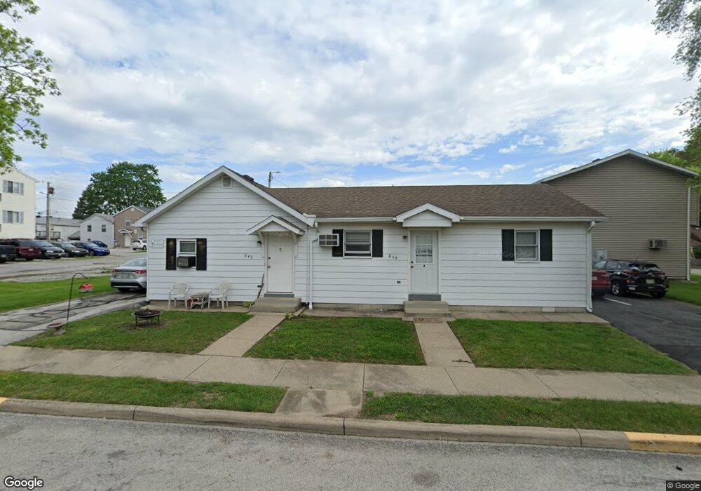
849 6th St Bowling Green, OH 43402
Estimated Value: $184,000 - $202,000
4
Beds
3
Baths
2,416
Sq Ft
$81/Sq Ft
Est. Value
About This Home
This home is located at 849 6th St, Bowling Green, OH 43402 and is currently estimated at $195,000, approximately $80 per square foot. 849 6th St is a home located in Wood County with nearby schools including Bowling Green High School, Montessori School Of Bowling Green, and Bowling Green Christian Academy.
Ownership History
Date
Name
Owned For
Owner Type
Purchase Details
Closed on
Feb 15, 2007
Sold by
Quail Meadow Llc
Bought by
Driftwood Rentals Llc
Current Estimated Value
Home Financials for this Owner
Home Financials are based on the most recent Mortgage that was taken out on this home.
Original Mortgage
$112,000
Outstanding Balance
$67,492
Interest Rate
6.27%
Mortgage Type
Commercial
Estimated Equity
$127,508
Purchase Details
Closed on
Mar 5, 2004
Sold by
Frobose John H and Frobose Mary H
Bought by
Quail Meadow Llc
Purchase Details
Closed on
Aug 2, 1989
Bought by
Dickinson Sharlene R
Create a Home Valuation Report for This Property
The Home Valuation Report is an in-depth analysis detailing your home's value as well as a comparison with similar homes in the area
Home Values in the Area
Average Home Value in this Area
Purchase History
| Date | Buyer | Sale Price | Title Company |
|---|---|---|---|
| Driftwood Rentals Llc | $140,000 | Attorney | |
| Quail Meadow Llc | -- | -- | |
| Dickinson Sharlene R | -- | -- |
Source: Public Records
Mortgage History
| Date | Status | Borrower | Loan Amount |
|---|---|---|---|
| Open | Driftwood Rentals Llc | $112,000 |
Source: Public Records
Tax History Compared to Growth
Tax History
| Year | Tax Paid | Tax Assessment Tax Assessment Total Assessment is a certain percentage of the fair market value that is determined by local assessors to be the total taxable value of land and additions on the property. | Land | Improvement |
|---|---|---|---|---|
| 2024 | $2,167 | $49,070 | $3,535 | $45,535 |
| 2023 | $2,167 | $49,080 | $3,540 | $45,540 |
| 2021 | $1,910 | $42,990 | $3,540 | $39,450 |
| 2020 | $1,903 | $42,990 | $3,540 | $39,450 |
| 2019 | $1,677 | $35,880 | $3,540 | $32,340 |
| 2018 | $1,668 | $35,880 | $3,540 | $32,340 |
| 2017 | $1,650 | $35,880 | $3,540 | $32,340 |
| 2016 | $1,344 | $29,060 | $2,840 | $26,220 |
| 2015 | $1,374 | $29,060 | $2,840 | $26,220 |
| 2014 | $1,394 | $29,060 | $2,840 | $26,220 |
| 2013 | $1,500 | $29,060 | $2,840 | $26,220 |
Source: Public Records
Map
Nearby Homes
- 629 S Summit St
- 608 S Summit St
- Lot 41 S Prospect St
- Lot 40 S Prospect St
- Lot 36 S Prospect St
- 448 S Church St
- 518 S Grove St
- 210 W Wooster St
- 4 Mackenzie Ct
- 7 Augusta Dr Unit 7
- 519 Knollwood Dr
- 545 Wallace Ave
- 0 Haskins Rd Unit 6132516
- 893 W Wooster St
- 14580 Sand Ridge Rd
- 14732 Sand Ridge Rd
- 13380 Klopfenstein Rd
- 733 Conneaut Ave
- 1024 Clark St
- 1048 N Main St