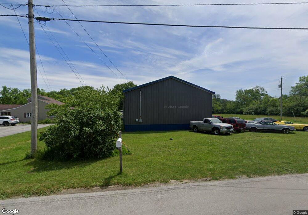
849 Bartson Rd Fremont, OH 43420
Estimated Value: $87,000 - $151,732
--
Bed
--
Bath
--
Sq Ft
0.51
Acres
About This Home
This home is located at 849 Bartson Rd, Fremont, OH 43420 and is currently estimated at $128,683. 849 Bartson Rd is a home located in Sandusky County with nearby schools including Fremont Ross High School, St. Joseph School, and Bishop Hoffman Catholic School - This is St Joe's School now.
Ownership History
Date
Name
Owned For
Owner Type
Purchase Details
Closed on
Mar 11, 2019
Sold by
Hahn Trevor
Bought by
Pollard Timothy
Current Estimated Value
Purchase Details
Closed on
Apr 18, 2018
Sold by
Robertson Frederick D
Bought by
Hahn Trevor
Purchase Details
Closed on
May 1, 2009
Sold by
Robertson Sheryl
Bought by
Robertson Frederick D
Purchase Details
Closed on
May 12, 1997
Sold by
Bruce A Edwards
Bought by
James Kiser
Purchase Details
Closed on
Mar 1, 1994
Sold by
Robertson Sheryl
Bought by
Robertson Frederick D
Purchase Details
Closed on
Apr 1, 1987
Sold by
Robertson Sheryl
Bought by
Robertson Frederick D
Purchase Details
Closed on
Apr 1, 1985
Bought by
Robertson Frederick D
Create a Home Valuation Report for This Property
The Home Valuation Report is an in-depth analysis detailing your home's value as well as a comparison with similar homes in the area
Home Values in the Area
Average Home Value in this Area
Purchase History
| Date | Buyer | Sale Price | Title Company |
|---|---|---|---|
| Pollard Timothy | $7,000 | None Available | |
| Hahn Trevor | $4,000 | None Available | |
| Robertson Frederick D | -- | Attorney | |
| James Kiser | $8,000 | -- | |
| Robertson Frederick D | -- | -- | |
| Robertson Frederick D | $8,000 | -- | |
| Robertson Frederick D | $10,000 | -- |
Source: Public Records
Tax History Compared to Growth
Tax History
| Year | Tax Paid | Tax Assessment Tax Assessment Total Assessment is a certain percentage of the fair market value that is determined by local assessors to be the total taxable value of land and additions on the property. | Land | Improvement |
|---|---|---|---|---|
| 2024 | $686 | $16,840 | $3,050 | $13,790 |
| 2023 | $670 | $13,690 | $2,490 | $11,200 |
| 2022 | $581 | $13,690 | $2,490 | $11,200 |
| 2021 | $599 | $13,690 | $2,490 | $11,200 |
| 2020 | $119 | $2,660 | $2,660 | $0 |
| 2019 | $119 | $2,660 | $2,660 | $0 |
| 2018 | $111 | $2,660 | $2,660 | $0 |
| 2017 | $116 | $2,660 | $2,660 | $0 |
| 2016 | $102 | $2,660 | $2,660 | $0 |
| 2015 | $100 | $2,660 | $2,660 | $0 |
| 2014 | $107 | $2,700 | $2,700 | $0 |
| 2013 | $120 | $2,700 | $2,700 | $0 |
Source: Public Records
Map
Nearby Homes
- 2484 Buckland Ave
- 1719 Buckland Ave
- 1485 Autumn Woods Dr
- 515 Everett Rd
- 1611 Mcpherson Blvd
- 1420 Center St
- 2119 Lake St
- 704 County Road 126
- 10 Meadowbrook Dr
- 10 Meadowbrook Ln
- 1028 June St
- 64 River Run Dr Unit J
- 1013 Whittlesey St
- 1015 Hayes Ave
- 1037 Buckland Ave
- 905 Twinn St
- 1823 W State St
- 815 South St
- 616 S Wood St
- 1009 Napoleon St