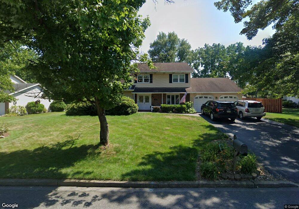
849 Blair Rd Bethlehem, PA 18017
Estimated Value: $452,180 - $521,000
4
Beds
3
Baths
2,010
Sq Ft
$248/Sq Ft
Est. Value
About This Home
This home is located at 849 Blair Rd, Bethlehem, PA 18017 and is currently estimated at $498,295, approximately $247 per square foot. 849 Blair Rd is a home located in Northampton County with nearby schools including Asa Packer Elementary School, Nitschmann Middle School, and Liberty High School.
Ownership History
Date
Name
Owned For
Owner Type
Purchase Details
Closed on
Aug 7, 2015
Sold by
Washburn Roger A and Washburn Marcia J
Bought by
Powers Edward J and Powers Melissa A
Current Estimated Value
Home Financials for this Owner
Home Financials are based on the most recent Mortgage that was taken out on this home.
Original Mortgage
$190,000
Outstanding Balance
$149,434
Interest Rate
4.03%
Mortgage Type
Purchase Money Mortgage
Estimated Equity
$348,861
Purchase Details
Closed on
Nov 1, 1986
Bought by
Washburn Roger A and Washburn Marcia J
Purchase Details
Closed on
Dec 1, 1980
Bought by
Not Provided
Create a Home Valuation Report for This Property
The Home Valuation Report is an in-depth analysis detailing your home's value as well as a comparison with similar homes in the area
Home Values in the Area
Average Home Value in this Area
Purchase History
| Date | Buyer | Sale Price | Title Company |
|---|---|---|---|
| Powers Edward J | $270,000 | None Available | |
| Washburn Roger A | $136,000 | -- | |
| Not Provided | $85,000 | -- |
Source: Public Records
Mortgage History
| Date | Status | Borrower | Loan Amount |
|---|---|---|---|
| Open | Powers Edward J | $190,000 |
Source: Public Records
Tax History
| Year | Tax Paid | Tax Assessment Tax Assessment Total Assessment is a certain percentage of the fair market value that is determined by local assessors to be the total taxable value of land and additions on the property. | Land | Improvement |
|---|---|---|---|---|
| 2025 | $816 | $75,600 | $28,700 | $46,900 |
| 2024 | $5,511 | $75,600 | $28,700 | $46,900 |
| 2023 | $5,530 | $75,600 | $28,700 | $46,900 |
| 2022 | $5,478 | $75,600 | $28,700 | $46,900 |
| 2021 | $5,433 | $75,600 | $28,700 | $46,900 |
| 2020 | $5,440 | $75,600 | $28,700 | $46,900 |
| 2019 | $5,418 | $75,600 | $28,700 | $46,900 |
| 2018 | $5,311 | $75,600 | $28,700 | $46,900 |
| 2017 | $5,273 | $75,600 | $28,700 | $46,900 |
| 2016 | -- | $75,600 | $28,700 | $46,900 |
| 2015 | -- | $75,600 | $28,700 | $46,900 |
| 2014 | -- | $75,600 | $28,700 | $46,900 |
Source: Public Records
Map
Nearby Homes
- 801 Yorkshire Rd
- 1360 Stonewood Dr
- 2616 Pioneer Rd
- 1425 Roselawn Dr
- 0 Rosewood Dr Unit 766427
- 1970 Rosewood Dr Unit Lot 6
- 1305 Statten Ave
- 2821 Center St
- 2860 Center St
- 2713 Center St
- 3429 Park Place
- 3470 Park Place
- 7 Moreland Ave
- 1225 Brentwood Ave
- 5602 Grace Ave
- 1440 Greenview Dr
- 1330 Cherry Ave
- 3901 Post Dr
- 4410 Greenfield Rd
- 1339 Richard Ave
Your Personal Tour Guide
Ask me questions while you tour the home.