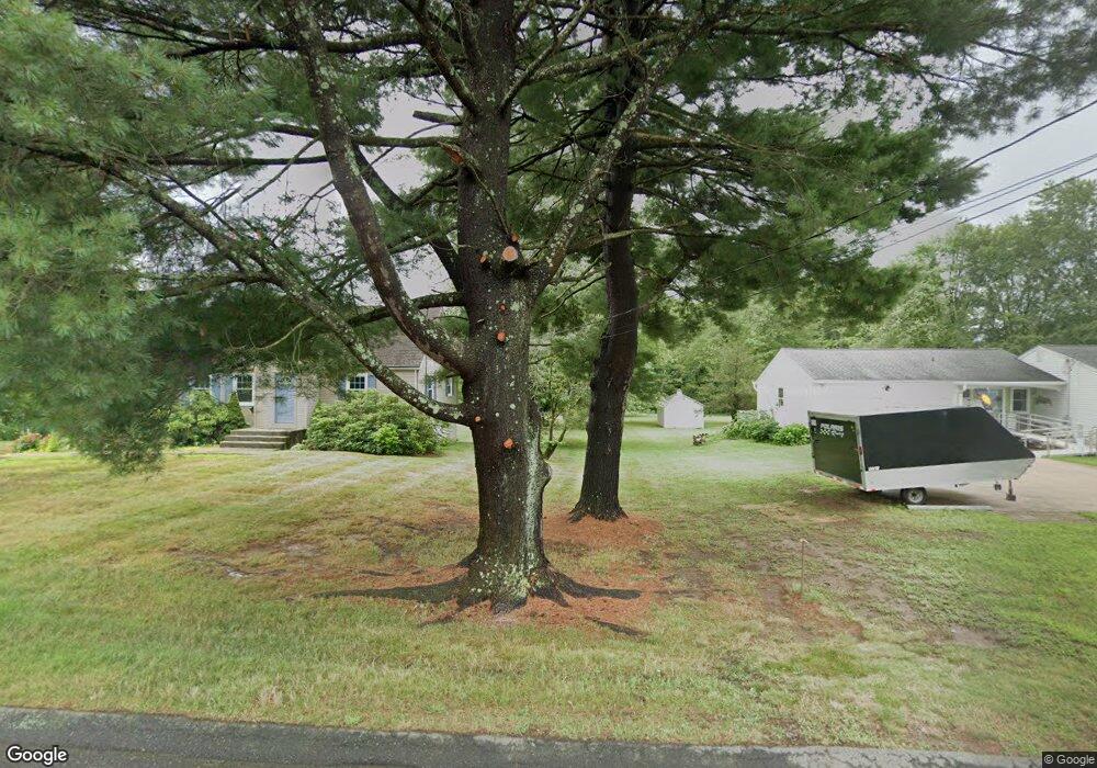
849 Branch Rd Suffield, CT 06078
Estimated Value: $536,305 - $617,000
2
Beds
2
Baths
2,231
Sq Ft
$254/Sq Ft
Est. Value
About This Home
This home is located at 849 Branch Rd, Suffield, CT 06078 and is currently estimated at $567,326, approximately $254 per square foot. 849 Branch Rd is a home located in Hartford County with nearby schools including A. Ward Spaulding School, Mcalister Intermediate School, and Suffield Middle School.
Ownership History
Date
Name
Owned For
Owner Type
Purchase Details
Closed on
Aug 28, 2020
Sold by
Engel Bruce W and Engel Teresa A
Bought by
Jubrey Nicholas and Jubrey Michelle
Current Estimated Value
Purchase Details
Closed on
Jun 27, 2005
Sold by
Est Tenero Elizabeth and Organeck Richard
Bought by
Engel Teresa and Engel Bruce
Create a Home Valuation Report for This Property
The Home Valuation Report is an in-depth analysis detailing your home's value as well as a comparison with similar homes in the area
Home Values in the Area
Average Home Value in this Area
Purchase History
| Date | Buyer | Sale Price | Title Company |
|---|---|---|---|
| Jubrey Nicholas | $350,000 | None Available | |
| Engel Teresa | $290,000 | -- |
Source: Public Records
Mortgage History
| Date | Status | Borrower | Loan Amount |
|---|---|---|---|
| Previous Owner | Engel Teresa | $256,000 | |
| Previous Owner | Engel Teresa | $180,000 | |
| Previous Owner | Engel Teresa | $138,000 | |
| Previous Owner | Engel Teresa | $60,000 |
Source: Public Records
Tax History
| Year | Tax Paid | Tax Assessment Tax Assessment Total Assessment is a certain percentage of the fair market value that is determined by local assessors to be the total taxable value of land and additions on the property. | Land | Improvement |
|---|---|---|---|---|
| 2025 | $7,530 | $321,650 | $77,420 | $244,230 |
| 2024 | $7,279 | $321,650 | $77,420 | $244,230 |
| 2023 | $6,056 | $211,680 | $77,770 | $133,910 |
| 2022 | $6,056 | $211,680 | $77,770 | $133,910 |
| 2021 | $6,063 | $211,680 | $77,770 | $133,910 |
| 2020 | $6,063 | $211,680 | $77,770 | $133,910 |
| 2019 | $6,079 | $211,680 | $77,770 | $133,910 |
| 2018 | $6,083 | $207,480 | $78,330 | $129,150 |
| 2017 | $5,994 | $207,480 | $78,330 | $129,150 |
| 2016 | $5,851 | $207,480 | $78,330 | $129,150 |
| 2015 | $5,768 | $207,620 | $78,470 | $129,150 |
| 2014 | $5,631 | $207,620 | $78,470 | $129,150 |
Source: Public Records
Map
Nearby Homes
- 660 East St S
- 315 East St S
- 9 Green Briar Dr Unit 9
- 1453 Suffield St
- 779 Bridge St
- 22 Pearl St
- 42 Chapman Chase Unit 42
- 424 Bridge St
- 20 Pleasant St Unit 22
- 5 the Hamlet Unit D
- 713 Thrall Ave
- 2 Pearl Street Extension
- 1561 King St
- 15 Suffield St
- 22 Suffield St
- 13 Quail Ct
- 0 Stone St S Unit 24039713
- 1527 King St
- 12 Chester Dr
- 0 Mullen Rd
- 839 Branch Rd
- 853 Branch Rd
- 808 Branch Rd
- 840 Branch Rd
- 872 Boston Neck Rd
- 872 Boston Neck Rd Unit 872
- 866 Boston Neck Rd
- 866 Boston Neck Rd
- 865 Branch Rd
- 854 Branch Rd
- 807 East St S
- 934 Boston Neck Rd
- 875 Branch Rd
- 887 Boston Neck Rd
- 773 East St S
- 870 Branch Rd
- 889 Branch Rd
- 749 East St S
- 905 Boston Neck Rd
- 875 Boston Neck Rd
Your Personal Tour Guide
Ask me questions while you tour the home.