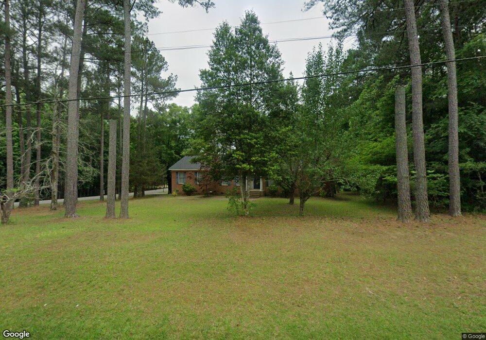
849 Currytown Rd North Augusta, SC 29860
Southeast Edgefield NeighborhoodEstimated Value: $362,485 - $444,000
3
Beds
3
Baths
2,370
Sq Ft
$170/Sq Ft
Est. Value
About This Home
This home is located at 849 Currytown Rd, North Augusta, SC 29860 and is currently estimated at $402,371, approximately $169 per square foot. 849 Currytown Rd is a home located in Edgefield County with nearby schools including Merriwether Elementary School, Merriwether Middle School, and Strom Thurmond High School.
Ownership History
Date
Name
Owned For
Owner Type
Purchase Details
Closed on
Oct 29, 2009
Sold by
Long Annie L
Bought by
Roon David B
Current Estimated Value
Home Financials for this Owner
Home Financials are based on the most recent Mortgage that was taken out on this home.
Original Mortgage
$199,323
Outstanding Balance
$129,689
Interest Rate
5.01%
Mortgage Type
FHA
Estimated Equity
$272,682
Create a Home Valuation Report for This Property
The Home Valuation Report is an in-depth analysis detailing your home's value as well as a comparison with similar homes in the area
Home Values in the Area
Average Home Value in this Area
Purchase History
| Date | Buyer | Sale Price | Title Company |
|---|---|---|---|
| Roon David B | $203,000 | -- |
Source: Public Records
Mortgage History
| Date | Status | Borrower | Loan Amount |
|---|---|---|---|
| Open | Roon David B | $199,323 |
Source: Public Records
Tax History Compared to Growth
Tax History
| Year | Tax Paid | Tax Assessment Tax Assessment Total Assessment is a certain percentage of the fair market value that is determined by local assessors to be the total taxable value of land and additions on the property. | Land | Improvement |
|---|---|---|---|---|
| 2025 | $1,110 | $8,420 | $960 | $7,460 |
| 2024 | $1,110 | $8,420 | $960 | $7,460 |
| 2023 | $1,110 | $8,420 | $960 | $7,460 |
| 2022 | $1,178 | $8,420 | $960 | $7,460 |
| 2021 | $1,320 | $8,420 | $960 | $7,460 |
| 2020 | $1,315 | $8,420 | $960 | $7,460 |
| 2019 | $1,308 | $8,420 | $960 | $7,460 |
| 2018 | $1,039 | $8,420 | $960 | $7,460 |
| 2017 | $994 | $8,420 | $960 | $7,460 |
| 2016 | $933 | $8,320 | $960 | $7,360 |
| 2013 | -- | $8,320 | $960 | $7,360 |
Source: Public Records
Map
Nearby Homes
- 0 W Martintown Rd
- 1821 Silver Maple Dr
- 65 Roper Ct
- 60 Kesiah Ct
- 938 Currytowne Blvd
- 1546 Stevens Creek Dr
- 210 Sweetwater Creek Dr
- 107 Ashwood Dr
- TRACT F Martintown Rd
- 1610 W Martintown Rd
- 558 Annison Pointe Ct
- 184 Deer Springs Rd
- 01 New Delaughter Dr
- V-19 Fitzsimmons Rd
- G-3 St John's Dr
- LOT 7 State Highway S-19-479
- 7 State Highway S-19-479
- 13 Pindo Pass
- 14 Pindo Pass
- 00 Martintown Rd
- 801 Plantation Point Dr
- 798 Plantation Point Dr
- 802 Plantation Point Dr
- 803 Plantation Point Dr
- 804 Plantation Point Dr
- 843 Currytown Rd
- 805 Plantation Point Dr
- 806 Plantation Point Dr
- 807 Plantation Point Dr
- 874 Currytown Rd
- 808 Plantation Point Dr
- 119 Smoke Ridge Dr
- 809 Plantation Point Dr
- 119 Smoke Ridge Rd
- 123 Smoke Ridge Rd
- 810 Plantation Point Dr
- 811 Plantation Point Dr
- 812 Plantation Point Dr
- 117 Smoke Ridge Rd
- 876 Currytown Rd