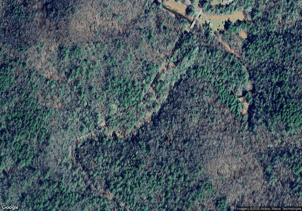
849 Foster Branch Rd Epworth, GA 30541
Estimated Value: $408,940 - $624,000
--
Bed
--
Bath
2,016
Sq Ft
$254/Sq Ft
Est. Value
About This Home
This home is located at 849 Foster Branch Rd, Epworth, GA 30541 and is currently estimated at $512,235, approximately $254 per square foot. 849 Foster Branch Rd is a home with nearby schools including Fannin County High School.
Ownership History
Date
Name
Owned For
Owner Type
Purchase Details
Closed on
Nov 20, 2009
Sold by
Davenport Ira Lee
Bought by
Davenport Ira Lee and Davenport Barbara P
Current Estimated Value
Purchase Details
Closed on
Jul 28, 2003
Sold by
Davenport Ira Lee
Bought by
Davenport Ira Lee
Purchase Details
Closed on
Sep 14, 1995
Sold by
Jones Johnny W
Bought by
Davenport Ira Lee
Purchase Details
Closed on
Oct 18, 1993
Sold by
Davenport Ezelle J
Bought by
Jones Johnny W
Purchase Details
Closed on
May 10, 1993
Sold by
Davenport Robert A
Bought by
Davenport Ezelle J
Purchase Details
Closed on
Nov 8, 1990
Bought by
Davenport Robert A
Create a Home Valuation Report for This Property
The Home Valuation Report is an in-depth analysis detailing your home's value as well as a comparison with similar homes in the area
Home Values in the Area
Average Home Value in this Area
Purchase History
| Date | Buyer | Sale Price | Title Company |
|---|---|---|---|
| Davenport Ira Lee | -- | -- | |
| Davenport Ira Lee | -- | -- | |
| Davenport Ira Lee | $42,000 | -- | |
| Jones Johnny W | $30,000 | -- | |
| Davenport Ezelle J | $20,000 | -- | |
| Davenport Robert A | -- | -- |
Source: Public Records
Tax History Compared to Growth
Tax History
| Year | Tax Paid | Tax Assessment Tax Assessment Total Assessment is a certain percentage of the fair market value that is determined by local assessors to be the total taxable value of land and additions on the property. | Land | Improvement |
|---|---|---|---|---|
| 2025 | $204 | $152,663 | $11,986 | $140,677 |
| 2024 | $204 | $152,664 | $11,986 | $140,678 |
| 2023 | $64 | $126,224 | $11,986 | $114,238 |
| 2022 | $227 | $127,702 | $11,986 | $115,716 |
| 2021 | $320 | $75,523 | $6,622 | $68,901 |
| 2020 | $324 | $75,523 | $6,622 | $68,901 |
| 2019 | $330 | $75,523 | $6,622 | $68,901 |
| 2018 | $350 | $75,523 | $6,622 | $68,901 |
| 2017 | $1,350 | $76,311 | $6,622 | $69,689 |
| 2016 | $222 | $36,034 | $6,622 | $29,412 |
| 2015 | $238 | $36,384 | $6,622 | $29,762 |
| 2014 | $272 | $49,367 | $15,958 | $33,410 |
| 2013 | -- | $44,735 | $15,957 | $28,778 |
Source: Public Records
Map
Nearby Homes
- 3967 Highway 2
- 249 Settlement Rd
- 100 Cohutta View Rd
- 225 Cohutta Ranch Rd
- 85 Foster Cove Rd
- 550 Watson Rd
- 580 Emmaus Rd
- 3760 Devils Den Rd
- Tract 2 Emmaus Rd
- 463 Big Sky Trail
- 3421 Devils Den Rd
- 370 High Ridge Rd
- 739 Big Sky Trail
- 6460 Highway 2
- 136 Pack Creek Rd
- 101 Menagerie Ridge
- 300 Cloudland Trace
- 28 AC Jolley Way
- 28.65 AC Jolley Way
- 789 Jolley Way
- 931 Foster Branch Rd
- 0 Foster Branch Rd Unit 2.67 AC 8725378
- 0 Foster Branch 2 6 Ac Unit 294788
- 601 Foster Branch Rd
- 596 Foster Branch Rd
- 90 Jacks River Rd
- 1191 Foster Branch Rd
- 1201 Foster Branch Rd
- 94 Jacks River Rd
- 164 Jacks River Rd
- 00 Jacks River Rd
- TRK 4 Jacks River Rd
- 306 Jacks River Rd
- 355 Jacks River Rd
- 268 Fairbanks Ln
- 408 Foster Branch Rd
- 573 Fairbanks Ln
- 455 Jacks River Rd
- 521 Fairbanks Ln
- 456 Jacks River Rd
