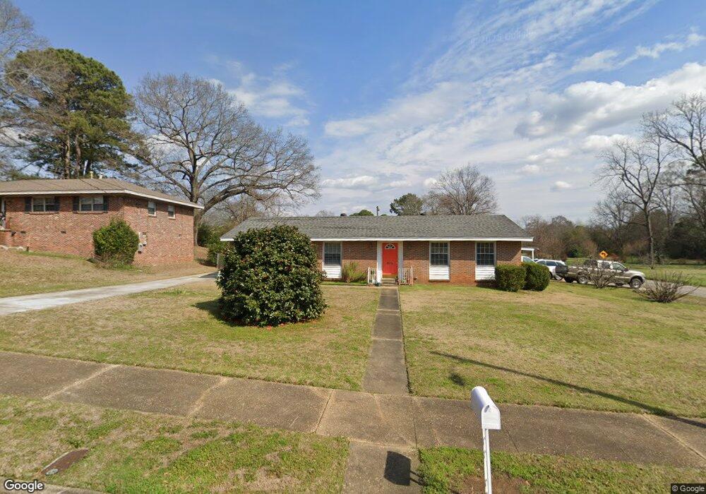
849 Sir Michael Dr Montgomery, AL 36109
East Montgomery NeighborhoodEstimated Value: $153,000 - $174,000
5
Beds
2
Baths
2,114
Sq Ft
$77/Sq Ft
Est. Value
About This Home
This home is located at 849 Sir Michael Dr, Montgomery, AL 36109 and is currently estimated at $163,798, approximately $77 per square foot. 849 Sir Michael Dr is a home located in Montgomery County with nearby schools including Flowers Elementary School, Goodwyn Middle School, and Dr. Percy L. Julian High School.
Ownership History
Date
Name
Owned For
Owner Type
Purchase Details
Closed on
Mar 1, 2002
Sold by
Nulph George L
Bought by
Norris John C and Norris Debbie E
Current Estimated Value
Home Financials for this Owner
Home Financials are based on the most recent Mortgage that was taken out on this home.
Original Mortgage
$75,200
Interest Rate
6.95%
Create a Home Valuation Report for This Property
The Home Valuation Report is an in-depth analysis detailing your home's value as well as a comparison with similar homes in the area
Home Values in the Area
Average Home Value in this Area
Purchase History
| Date | Buyer | Sale Price | Title Company |
|---|---|---|---|
| Norris John C | $94,200 | -- |
Source: Public Records
Mortgage History
| Date | Status | Borrower | Loan Amount |
|---|---|---|---|
| Closed | Norris John C | $75,200 |
Source: Public Records
Tax History Compared to Growth
Tax History
| Year | Tax Paid | Tax Assessment Tax Assessment Total Assessment is a certain percentage of the fair market value that is determined by local assessors to be the total taxable value of land and additions on the property. | Land | Improvement |
|---|---|---|---|---|
| 2024 | $727 | $15,600 | $1,800 | $13,800 |
| 2023 | $727 | $14,040 | $1,800 | $12,240 |
| 2022 | $401 | $12,090 | $1,800 | $10,290 |
| 2021 | $346 | $10,600 | $0 | $0 |
| 2020 | $333 | $10,230 | $1,800 | $8,430 |
| 2019 | $328 | $10,090 | $1,800 | $8,290 |
| 2018 | $364 | $9,980 | $1,800 | $8,180 |
| 2017 | $307 | $19,080 | $3,600 | $15,480 |
| 2014 | $318 | $9,840 | $2,000 | $7,840 |
| 2013 | -- | $9,470 | $2,000 | $7,470 |
Source: Public Records
Map
Nearby Homes
- 842 Joryne Dr
- 805 Dumont Dr
- 812 Dumont Dr
- 859 Greg Dr
- 814 Avondale Rd
- 525 Avondale Rd
- 933 Green Ridge Ct
- 446 Nottingham Ct
- 414 Perry Hill Rd
- 437 Holland Dr
- 3831 Avondale Ct
- 1102 Jameswood Ct
- 1128 Karen Rd
- 388 Perry Hill Rd
- 421 Nottingham Rd
- 1100 Lombard Dr
- 651 Joryne Dr
- 384 Perry Hill Rd
- 809 Perry Hill Rd
- 717 Perry Hill Rd
- 843 Sir Michael Dr
- 902 Joryne Dr
- 850 Sir Michael Dr
- 844 Sir Michael Dr
- 836 Joryne Dr
- 831 Sir Michael Dr
- 838 Sir Michael Dr
- 830 Joryne Dr
- 3553 Flowers Dr
- 832 Sir Michael Dr
- 3702 Duquesne Dr
- 3545 Flowers Dr
- 825 Sir Michael Dr
- 847 Dumont Dr
- 841 Dumont Dr
- 3539 Flowers Dr
- 824 Joryne Dr
- 835 Dumont Dr
- 826 Sir Michael Dr
- 837 Joryne Dr