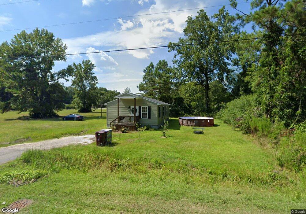
849 W Huggins St Manning, SC 29102
Estimated Value: $113,797 - $135,000
--
Bed
--
Bath
1,152
Sq Ft
$112/Sq Ft
Est. Value
About This Home
This home is located at 849 W Huggins St, Manning, SC 29102 and is currently estimated at $128,449, approximately $111 per square foot. 849 W Huggins St is a home with nearby schools including Manning Early Childhood Center, Manning Elementary School, and Manning Primary School.
Ownership History
Date
Name
Owned For
Owner Type
Purchase Details
Closed on
Jun 20, 2016
Sold by
Clarendon Habitat For Humanity Inc
Bought by
Betrand Frieda D and Spivey Irma D
Current Estimated Value
Home Financials for this Owner
Home Financials are based on the most recent Mortgage that was taken out on this home.
Original Mortgage
$57,500
Outstanding Balance
$45,779
Interest Rate
3.58%
Mortgage Type
Purchase Money Mortgage
Estimated Equity
$82,670
Create a Home Valuation Report for This Property
The Home Valuation Report is an in-depth analysis detailing your home's value as well as a comparison with similar homes in the area
Home Values in the Area
Average Home Value in this Area
Purchase History
| Date | Buyer | Sale Price | Title Company |
|---|---|---|---|
| Betrand Frieda D | $67,500 | None Available |
Source: Public Records
Mortgage History
| Date | Status | Borrower | Loan Amount |
|---|---|---|---|
| Open | Betrand Frieda D | $57,500 | |
| Closed | Betrand Frieda D | $10,000 |
Source: Public Records
Tax History Compared to Growth
Tax History
| Year | Tax Paid | Tax Assessment Tax Assessment Total Assessment is a certain percentage of the fair market value that is determined by local assessors to be the total taxable value of land and additions on the property. | Land | Improvement |
|---|---|---|---|---|
| 2024 | $999 | $3,200 | $360 | $2,840 |
| 2023 | $959 | $3,200 | $360 | $2,840 |
| 2022 | $908 | $3,048 | $360 | $2,688 |
| 2021 | $787 | $2,672 | $280 | $2,392 |
| 2020 | $787 | $2,672 | $0 | $0 |
| 2019 | $752 | $2,672 | $0 | $0 |
| 2018 | $733 | $2,672 | $0 | $0 |
| 2017 | $728 | $2,676 | $0 | $0 |
| 2016 | $76 | $280 | $0 | $0 |
| 2015 | $140 | $330 | $330 | $0 |
| 2014 | $139 | $330 | $330 | $0 |
| 2013 | -- | $330 | $330 | $0 |
Source: Public Records
Map
Nearby Homes
- 22 W End St
- TBD Branchview Dr
- TBD Barnwell St
- 633 Sykes St
- 209 Peterson Ln
- 2695 Paxville Hwy
- W Huggins St
- 1000 Carolina Way Unit Lot 80
- 1000 Carolina Way
- 111 Richard St
- 408 Toccoa Dr
- 409 W Boyce St
- 412 Briarcliff St
- 218 Breedin St
- 0000 Sylvan Dr
- 1868 Haseldon Dr
- 200 W Boyce St
- 1026 Jamie Ct
- 107 Sumter St
- 40 W Rigby St