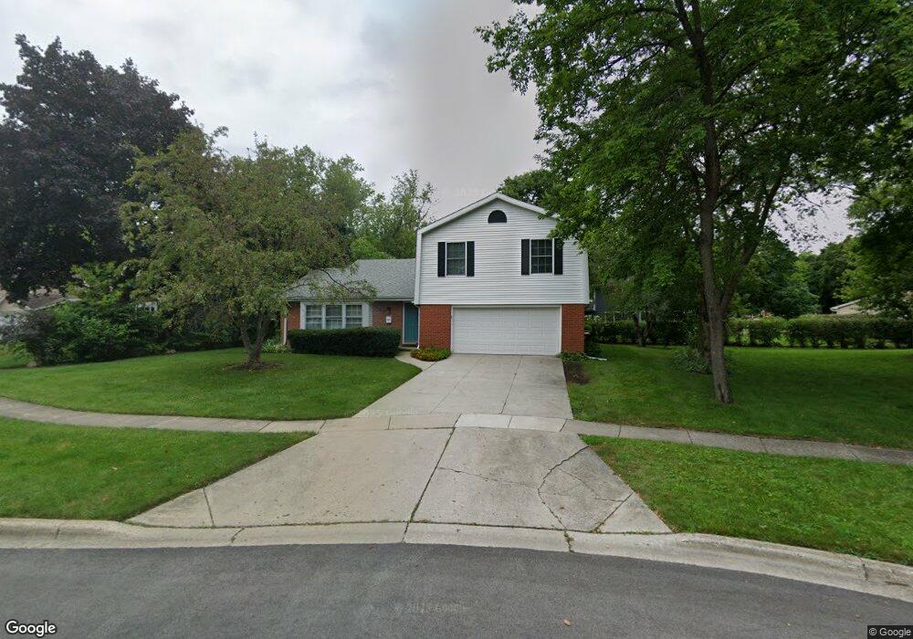
849 Warwick Ln Libertyville, IL 60048
Cambridge-Liberty Village NeighborhoodEstimated Value: $610,000 - $649,000
3
Beds
3
Baths
2,264
Sq Ft
$278/Sq Ft
Est. Value
About This Home
This home is located at 849 Warwick Ln, Libertyville, IL 60048 and is currently estimated at $629,128, approximately $277 per square foot. 849 Warwick Ln is a home located in Lake County with nearby schools including Rockland Elementary School, Highland Middle School, and Libertyville High School.
Ownership History
Date
Name
Owned For
Owner Type
Purchase Details
Closed on
Oct 23, 2014
Sold by
Orr Pauline M
Bought by
Mugerditchian Mark and Mugerditchian Theresa Mugerditchian
Current Estimated Value
Home Financials for this Owner
Home Financials are based on the most recent Mortgage that was taken out on this home.
Original Mortgage
$251,200
Outstanding Balance
$193,498
Interest Rate
4.23%
Mortgage Type
New Conventional
Estimated Equity
$435,630
Create a Home Valuation Report for This Property
The Home Valuation Report is an in-depth analysis detailing your home's value as well as a comparison with similar homes in the area
Home Values in the Area
Average Home Value in this Area
Purchase History
| Date | Buyer | Sale Price | Title Company |
|---|---|---|---|
| Mugerditchian Mark | $335,000 | First American Title Ins Co |
Source: Public Records
Mortgage History
| Date | Status | Borrower | Loan Amount |
|---|---|---|---|
| Open | Mugerditchian Mark | $251,200 |
Source: Public Records
Tax History Compared to Growth
Tax History
| Year | Tax Paid | Tax Assessment Tax Assessment Total Assessment is a certain percentage of the fair market value that is determined by local assessors to be the total taxable value of land and additions on the property. | Land | Improvement |
|---|---|---|---|---|
| 2024 | $11,763 | $158,359 | $66,439 | $91,920 |
| 2023 | $11,767 | $146,060 | $61,279 | $84,781 |
| 2022 | $11,767 | $147,133 | $58,900 | $88,233 |
| 2021 | $11,338 | $143,966 | $57,632 | $86,334 |
| 2020 | $10,919 | $141,546 | $56,663 | $84,883 |
| 2019 | $10,646 | $140,200 | $56,124 | $84,076 |
| 2018 | $9,563 | $130,103 | $55,896 | $74,207 |
| 2017 | $9,435 | $125,995 | $54,131 | $71,864 |
| 2016 | $9,142 | $119,461 | $51,324 | $68,137 |
| 2015 | $9,086 | $119,490 | $47,971 | $71,519 |
| 2014 | $8,182 | $111,616 | $45,073 | $66,543 |
| 2012 | $8,001 | $110,378 | $44,573 | $65,805 |
Source: Public Records
Map
Nearby Homes
- 1017 Juniper Pkwy
- 777 Garfield Ave Unit A
- 2245 Hazeltime Dr
- 747 Garfield Ave Unit C
- 533 Drake St
- 851 Garfield Ave Unit C
- 323 W Golf Rd
- 501 Hemlock Ln
- 0 Ames St
- 1137 Pine Tree Ln
- 423 Ames St
- 422 Shadow Creek Dr
- 1330 W Park Ave
- 20924 & 20902 W Park Ave
- 164 W Golf Rd Unit A
- 1969 Royal Birkdale Dr
- 551 W Park Ave Unit E
- 223 Kenloch Ave
- 308 Mckinley Ave
- 1939 Lake Charles Dr
- 853 Warwick Ln
- 716 S Dymond Rd
- 845 Warwick Ln
- 802 S Dymond Rd
- 902 W Golf Rd
- 840 Pembrooke Rd
- 850 Warwick Ln
- 714 S Dymond Rd
- 808 S Dymond Rd
- 836 Pembrooke Rd
- 834 W Golf Rd
- 927 Fairlawn Ave
- 829 Pembrooke Rd
- 832 Pembrooke Rd
- 921 Fairlawn Ave
- 933 Fairlawn Ave
- 803 S Dymond Rd
- 915 Fairlawn Ave
- 939 Fairlawn Ave
- 830 W Golf Rd