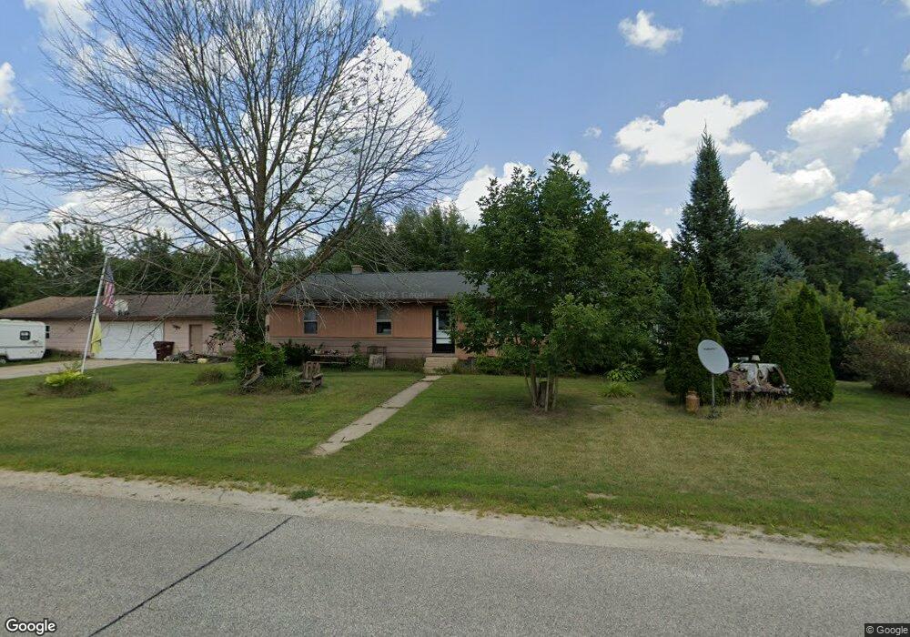
8490 Cty Hwy N Byron, WI 54660
Estimated Value: $184,000 - $253,000
--
Bed
2
Baths
--
Sq Ft
0.54
Acres
About This Home
This home is located at 8490 Cty Hwy N, Byron, WI 54660 and is currently estimated at $217,470. 8490 Cty Hwy N is a home located in Monroe County with nearby schools including Tomah High School.
Ownership History
Date
Name
Owned For
Owner Type
Purchase Details
Closed on
Nov 16, 2018
Sold by
Retzlaff Maren P
Bought by
Mason Katie S
Current Estimated Value
Home Financials for this Owner
Home Financials are based on the most recent Mortgage that was taken out on this home.
Original Mortgage
$112,917
Outstanding Balance
$100,872
Interest Rate
5.62%
Mortgage Type
FHA
Estimated Equity
$116,598
Purchase Details
Closed on
Jan 24, 2013
Sold by
Retzlaff Robert G
Bought by
Retzlaff Robert G and Retzlaff Maren P
Create a Home Valuation Report for This Property
The Home Valuation Report is an in-depth analysis detailing your home's value as well as a comparison with similar homes in the area
Home Values in the Area
Average Home Value in this Area
Purchase History
| Date | Buyer | Sale Price | Title Company |
|---|---|---|---|
| Mason Katie S | $115,000 | None Available | |
| Retzlaff Robert G | -- | Mubarak Radcliffe & Berry Sc |
Source: Public Records
Mortgage History
| Date | Status | Borrower | Loan Amount |
|---|---|---|---|
| Open | Mason Katie S | $112,917 |
Source: Public Records
Tax History Compared to Growth
Tax History
| Year | Tax Paid | Tax Assessment Tax Assessment Total Assessment is a certain percentage of the fair market value that is determined by local assessors to be the total taxable value of land and additions on the property. | Land | Improvement |
|---|---|---|---|---|
| 2024 | $2,011 | $182,100 | $8,100 | $174,000 |
| 2023 | $1,889 | $182,100 | $8,100 | $174,000 |
| 2022 | $1,873 | $127,900 | $7,300 | $120,600 |
| 2021 | $1,714 | $127,900 | $7,300 | $120,600 |
| 2020 | $1,825 | $127,900 | $7,300 | $120,600 |
| 2019 | $1,832 | $127,900 | $7,300 | $120,600 |
| 2018 | $1,863 | $127,900 | $7,300 | $120,600 |
| 2017 | $1,901 | $127,900 | $7,300 | $120,600 |
| 2016 | $1,761 | $127,900 | $7,300 | $120,600 |
| 2015 | $2,369 | $127,900 | $7,300 | $120,600 |
| 2014 | $2,012 | $127,900 | $7,300 | $120,600 |
| 2011 | $2,140 | $117,900 | $7,300 | $110,600 |
Source: Public Records
Map
Nearby Homes
- 0 Main St
- 115 Wisconsin St
- 26073 County Highway G
- 31577 Excelsior Ave
- 28133 County Highway Et
- 11809 Formica Rd
- 7672 Division Rd
- 7616 Crescent Rd
- 00 Crescent Rd
- 33486 Driftwood Ave Unit B
- 33486 Driftwood Ave Unit C
- 33486 Driftwood Ave Unit A
- 622 Vandervort St
- 7324 County Highway O
- 24691 Embay Ave
- 535 Collin Dr
- 12632 County Highway Pp
- 108 Vandervort St
- Lot 4 Grosbeak Ave
- Lot 1 Grosbeak Ave
- 8490 County Hwy N
- 8490 County Hwy N
- 8490 County Hwy N
- 8470 County Hwy N
- 28922 County Road G
- 8499 County Hwy N
- 8477 County Hwy N
- 8464 County Hwy N
- 28899 County Highway G
- 28922 County Highway G
- 28752 Douglas Ave
- 28934 County Highway G
- 8403 State Highway 173
- 28921 County Highway G
- 8422 Cty Hwy N
- 8422 County Hwy N
- 28381 County Road G
- 28921 County Road G
- 17995 County Hwy N
- 28673 County Road G