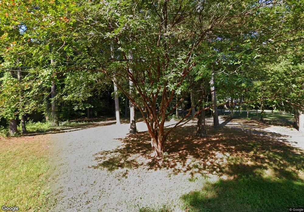
8494 N Prong Ln Unit N Delmar, MD 21875
North Salisbury NeighborhoodEstimated Value: $175,000 - $300,000
3
Beds
2
Baths
1,416
Sq Ft
$167/Sq Ft
Est. Value
About This Home
This home is located at 8494 N Prong Ln Unit N, Delmar, MD 21875 and is currently estimated at $236,883, approximately $167 per square foot. 8494 N Prong Ln Unit N is a home located in Wicomico County with nearby schools including West Salisbury Elementary School, North Salisbury Elementary School, and Wicomico Middle School.
Ownership History
Date
Name
Owned For
Owner Type
Purchase Details
Closed on
Sep 11, 2012
Sold by
Cannon Mary Lou and Estate Of Robert Lee Cannon Jr
Bought by
Baker Frank A and Baker Ellen D
Current Estimated Value
Home Financials for this Owner
Home Financials are based on the most recent Mortgage that was taken out on this home.
Original Mortgage
$66,000
Outstanding Balance
$45,777
Interest Rate
3.62%
Mortgage Type
New Conventional
Estimated Equity
$191,106
Purchase Details
Closed on
May 6, 1974
Bought by
Cannon Robert L
Create a Home Valuation Report for This Property
The Home Valuation Report is an in-depth analysis detailing your home's value as well as a comparison with similar homes in the area
Home Values in the Area
Average Home Value in this Area
Purchase History
| Date | Buyer | Sale Price | Title Company |
|---|---|---|---|
| Baker Frank A | $82,500 | None Available | |
| Cannon Robert L | -- | -- |
Source: Public Records
Mortgage History
| Date | Status | Borrower | Loan Amount |
|---|---|---|---|
| Open | Baker Frank A | $66,000 |
Source: Public Records
Tax History Compared to Growth
Tax History
| Year | Tax Paid | Tax Assessment Tax Assessment Total Assessment is a certain percentage of the fair market value that is determined by local assessors to be the total taxable value of land and additions on the property. | Land | Improvement |
|---|---|---|---|---|
| 2025 | $1,570 | $171,100 | $41,500 | $129,600 |
| 2024 | $1,570 | $157,500 | $0 | $0 |
| 2023 | $1,483 | $143,900 | $0 | $0 |
| 2022 | $1,388 | $130,300 | $41,500 | $88,800 |
| 2021 | $1,387 | $129,800 | $0 | $0 |
| 2020 | $1,393 | $129,300 | $0 | $0 |
| 2019 | $1,408 | $128,800 | $41,500 | $87,300 |
| 2018 | $1,405 | $127,867 | $0 | $0 |
| 2017 | $1,395 | $126,933 | $0 | $0 |
| 2016 | -- | $126,000 | $0 | $0 |
| 2015 | $1,116 | $125,467 | $0 | $0 |
| 2014 | $1,116 | $124,933 | $0 | $0 |
Source: Public Records
Map
Nearby Homes
- 8535 E Marlboro Dr
- 30393 Mallard Dr
- 30332 Dagsboro Rd
- 30415 Saxon Ct
- 8233 Robin Hood Dr
- 220 Troopers Way
- 410 Troopers Way
- 0 Williams Mill Pond Rd
- 211 Clement Loop
- 220 Clement Loop
- 226 Clement Loop
- 217 Clement Loop
- 219 Clement Loop
- 213 Clement Loop
- 223 Clement Loop
- 215 Clement Loop
- 221 Clement Loop
- 218 Clement Loop
- 214 Clement Loop
- Orinda Plan at North Pointe Commons
- 30466 Danwood Dr
- 8508 N Prong Ln
- 30448 Danwood Dr
- 8485 N Prong Ln
- 8497 N Prong Ln
- 8473 N Prong Ln Unit N
- 8509 N Prong Ln Unit N
- 8509N N Prong Ln
- 30444 Danwood Dr
- 30471 Danwood Dr
- 8534 N Prong Ln
- 8534 N Prong Ln Unit N
- 8534 N Prong Ln
- 8488 Engle Dr
- 8474 Engle Dr
- 8525 N Prong Ln Unit N
- 8508 Engle Dr
- 30514 Danwood Dr
- 8520 Engle Dr
- 30449 Danwood Dr
