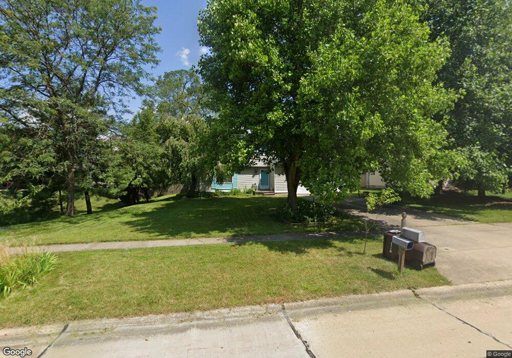
8497 Groveside Dr Strongsville, OH 44136
Estimated Value: $327,000 - $370,000
4
Beds
3
Baths
1,860
Sq Ft
$184/Sq Ft
Est. Value
About This Home
This home is located at 8497 Groveside Dr, Strongsville, OH 44136 and is currently estimated at $343,121, approximately $184 per square foot. 8497 Groveside Dr is a home located in Cuyahoga County with nearby schools including Strongsville High School, Sts Joseph & John Interparochial School, and Bethel Christian Academy.
Ownership History
Date
Name
Owned For
Owner Type
Purchase Details
Closed on
Sep 12, 2008
Sold by
Kocias R Dale and Kocias Anne Marie
Bought by
Ciobanu Gabriel A and Ciobanu Lidia I
Current Estimated Value
Home Financials for this Owner
Home Financials are based on the most recent Mortgage that was taken out on this home.
Original Mortgage
$147,250
Outstanding Balance
$98,035
Interest Rate
6.54%
Mortgage Type
Purchase Money Mortgage
Estimated Equity
$245,086
Purchase Details
Closed on
Jun 25, 1986
Bought by
Anne Kocias R and Anne Marie
Purchase Details
Closed on
Apr 22, 1981
Bought by
Ohio Savings Assoc
Purchase Details
Closed on
Jan 1, 1979
Bought by
Palmetto Homes
Create a Home Valuation Report for This Property
The Home Valuation Report is an in-depth analysis detailing your home's value as well as a comparison with similar homes in the area
Home Values in the Area
Average Home Value in this Area
Purchase History
| Date | Buyer | Sale Price | Title Company |
|---|---|---|---|
| Ciobanu Gabriel A | $155,000 | Attorney | |
| Anne Kocias R | $94,900 | -- | |
| Ohio Savings Assoc | -- | -- | |
| Palmetto Homes | -- | -- |
Source: Public Records
Mortgage History
| Date | Status | Borrower | Loan Amount |
|---|---|---|---|
| Open | Ciobanu Gabriel A | $147,250 |
Source: Public Records
Tax History Compared to Growth
Tax History
| Year | Tax Paid | Tax Assessment Tax Assessment Total Assessment is a certain percentage of the fair market value that is determined by local assessors to be the total taxable value of land and additions on the property. | Land | Improvement |
|---|---|---|---|---|
| 2024 | $4,812 | $102,480 | $18,935 | $83,545 |
| 2023 | $4,598 | $73,440 | $17,960 | $55,480 |
| 2022 | $4,565 | $73,430 | $17,960 | $55,480 |
| 2021 | $4,529 | $73,430 | $17,960 | $55,480 |
| 2020 | $4,411 | $63,280 | $15,470 | $47,810 |
| 2019 | $4,282 | $180,800 | $44,200 | $136,600 |
| 2018 | $3,757 | $63,280 | $15,470 | $47,810 |
| 2017 | $3,694 | $55,690 | $12,040 | $43,650 |
| 2016 | $3,664 | $55,690 | $12,040 | $43,650 |
| 2015 | $3,609 | $55,690 | $12,040 | $43,650 |
| 2014 | $3,609 | $54,080 | $11,690 | $42,390 |
Source: Public Records
Map
Nearby Homes
- 9129 Tahoe Cir
- 9890 Webster Rd
- 9945 Twelve Oaks Cir
- 10010 Chevy Chase
- 10369 Council Bluff
- 9531 Nicole Cir
- 7685 Saratoga Rd
- 18203 Broxton Dr
- 14015 Byron Blvd
- 13976 W Sprague Rd
- 18433 Whitney Rd
- 15485 Albion Rd
- 7475 Lanier Dr
- 0 Webster Rd
- 16347 Craigmere Dr
- 18737 Evergreen Dr
- 16519 Albion Rd
- 7444 Briarcliff Pkwy
- Buchanan Plan at The Enclave at Pine Lakes Crossing
- Belleville Plan at The Enclave at Pine Lakes Crossing
- 8455 Groveside Dr
- 8573 Groveside Dr
- 8413 Groveside Dr
- 8659 Groveside Dr
- 8622 Groveside Dr
- 8536 Groveside Dr
- 8698 Groveside Dr
- 8434 Groveside Dr
- 8707 Groveside Dr
- 8728 Groveside Dr
- 15603 Bittersweet Ct
- 8719 Groveside Dr
- 15618 Bittersweet Ct
- 15631 Bittersweet Ct
- 8766 Groveside Dr
- 8747 Groveside Dr
- 15646 Bittersweet Ct
- 15659 Bittersweet Ct
- 8804 Groveside Dr
- 8795 Groveside Dr