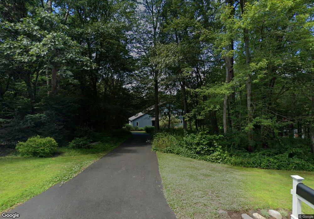
85 Andrew Dr Canton, CT 06019
Estimated Value: $699,391 - $774,000
2
Beds
4
Baths
2,577
Sq Ft
$280/Sq Ft
Est. Value
About This Home
This home is located at 85 Andrew Dr, Canton, CT 06019 and is currently estimated at $720,598, approximately $279 per square foot. 85 Andrew Dr is a home located in Hartford County with nearby schools including Cherry Brook Primary School, Canton Intermediate School, and Canton Middle School.
Ownership History
Date
Name
Owned For
Owner Type
Purchase Details
Closed on
Apr 14, 2011
Sold by
Grayson Lynne
Bought by
Grayson Richard
Current Estimated Value
Home Financials for this Owner
Home Financials are based on the most recent Mortgage that was taken out on this home.
Original Mortgage
$329,822
Interest Rate
4.05%
Mortgage Type
Stand Alone Second
Purchase Details
Closed on
Dec 12, 2005
Sold by
Wolfson Alan and Wolfson Sheila
Bought by
Grayson Richard and Grayson Lynne
Purchase Details
Closed on
Apr 3, 1997
Sold by
Blueberry Hill Ptnshp
Bought by
Wolfson Alan and Wolfson Sheila
Create a Home Valuation Report for This Property
The Home Valuation Report is an in-depth analysis detailing your home's value as well as a comparison with similar homes in the area
Home Values in the Area
Average Home Value in this Area
Purchase History
| Date | Buyer | Sale Price | Title Company |
|---|---|---|---|
| Grayson Richard | -- | -- | |
| Grayson Richard | -- | -- | |
| Grayson Richard | $500,000 | -- | |
| Grayson Richard | $500,000 | -- | |
| Wolfson Alan | $57,000 | -- |
Source: Public Records
Mortgage History
| Date | Status | Borrower | Loan Amount |
|---|---|---|---|
| Open | Wolfson Alan | $312,200 | |
| Closed | Wolfson Alan | $329,822 | |
| Previous Owner | Wolfson Alan | $388,000 |
Source: Public Records
Tax History
| Year | Tax Paid | Tax Assessment Tax Assessment Total Assessment is a certain percentage of the fair market value that is determined by local assessors to be the total taxable value of land and additions on the property. | Land | Improvement |
|---|---|---|---|---|
| 2025 | $11,772 | $351,410 | $88,750 | $262,660 |
| 2024 | $12,001 | $351,410 | $88,750 | $262,660 |
| 2023 | $8,523 | $240,980 | $64,570 | $176,410 |
| 2022 | $8,119 | $240,980 | $64,570 | $176,410 |
| 2021 | $8,005 | $240,980 | $64,570 | $176,410 |
| 2020 | $7,854 | $240,980 | $64,570 | $176,410 |
| 2019 | $7,719 | $240,980 | $64,570 | $176,410 |
| 2018 | $8,309 | $270,660 | $80,670 | $189,990 |
| 2017 | $8,252 | $270,660 | $80,670 | $189,990 |
| 2016 | $8,055 | $270,660 | $80,670 | $189,990 |
| 2015 | $7,901 | $270,660 | $80,670 | $189,990 |
| 2014 | $7,730 | $270,660 | $80,670 | $189,990 |
Source: Public Records
Map
Nearby Homes
- 33 Westwood Dr
- 22 Bel Aire Ln
- 52 Shingle Mill Rd
- 158 Westledge Rd
- 11 Timbercrest Dr
- 308 Cherry Brook Rd
- 117 N Saddle Ridge
- 15 Red Fox Run
- 12 The Glade
- 34 Rocklyn Dr
- 121 Gracey Rd
- 5 Shady Ln
- 29 Long View Dr
- 42 Holcomb St
- 132 Morgan Rd
- 152 E Hill Rd
- 324 Old Farms Rd
- 30 Southbridge Ct Unit 30
- 301 Bushy Hill Rd
- 86 Case St
Your Personal Tour Guide
Ask me questions while you tour the home.