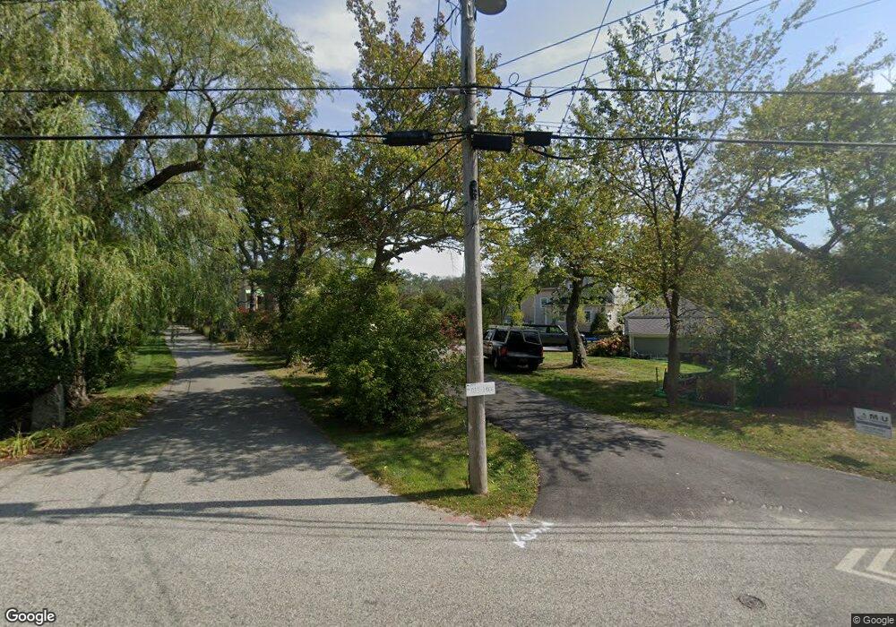
85 Atlantic Ave Cohasset, MA 02025
Estimated Value: $3,024,000 - $4,041,000
4
Beds
3
Baths
3,861
Sq Ft
$931/Sq Ft
Est. Value
About This Home
This home is located at 85 Atlantic Ave, Cohasset, MA 02025 and is currently estimated at $3,592,847, approximately $930 per square foot. 85 Atlantic Ave is a home located in Norfolk County with nearby schools including Joseph Osgood School, Deer Hill School, and Cohasset Middle School.
Ownership History
Date
Name
Owned For
Owner Type
Purchase Details
Closed on
Feb 7, 2020
Sold by
Park William W
Bought by
William W Park 2003 T
Current Estimated Value
Purchase Details
Closed on
Jul 1, 1997
Sold by
Pyle Tr Jancie D
Bought by
Connolly John M and Connolly Kathleen
Create a Home Valuation Report for This Property
The Home Valuation Report is an in-depth analysis detailing your home's value as well as a comparison with similar homes in the area
Home Values in the Area
Average Home Value in this Area
Purchase History
| Date | Buyer | Sale Price | Title Company |
|---|---|---|---|
| William W Park 2003 T | -- | None Available | |
| Connolly John M | $875,000 | -- |
Source: Public Records
Mortgage History
| Date | Status | Borrower | Loan Amount |
|---|---|---|---|
| Previous Owner | Connolly John M | $500,000 | |
| Previous Owner | Connolly John M | $550,000 | |
| Previous Owner | Connolly John M | $575,000 |
Source: Public Records
Tax History Compared to Growth
Tax History
| Year | Tax Paid | Tax Assessment Tax Assessment Total Assessment is a certain percentage of the fair market value that is determined by local assessors to be the total taxable value of land and additions on the property. | Land | Improvement |
|---|---|---|---|---|
| 2025 | $35,988 | $3,107,800 | $2,253,400 | $854,400 |
| 2024 | $41,094 | $3,376,700 | $2,586,400 | $790,300 |
| 2023 | $38,671 | $3,277,200 | $2,486,900 | $790,300 |
| 2022 | $40,134 | $3,195,400 | $2,486,900 | $708,500 |
| 2021 | $40,528 | $3,108,000 | $2,486,900 | $621,100 |
| 2020 | $40,311 | $3,108,000 | $2,486,900 | $621,100 |
| 2019 | $40,093 | $3,108,000 | $2,486,900 | $621,100 |
| 2018 | $39,751 | $3,108,000 | $2,486,900 | $621,100 |
| 2017 | $36,928 | $2,827,600 | $2,162,800 | $664,800 |
| 2016 | $36,419 | $2,827,600 | $2,162,800 | $664,800 |
| 2015 | $35,939 | $2,827,600 | $2,162,800 | $664,800 |
| 2014 | $35,458 | $2,827,600 | $2,162,800 | $664,800 |
Source: Public Records
Map
Nearby Homes
- 25 Mohawk Way
- 17 Mohawk Way
- 100 Howard Gleason Rd
- 104 Howard Gleason Rd
- 135 Beach St
- 21-23 Elm Ct
- 4 Margin St Unit A
- 124 Elm St Unit 202
- 124 Elm St Unit 308
- 87 Elm St Unit 215
- 128 Elm St Unit 211
- 11 Beach St
- 24 Wood Island Rd
- 98 Black Horse Ln
- 68 Black Horse Ln
- 356 Atlantic Ave
- 70 Black Horse Ln
- 101 Nichols Rd
- 89 Ripley Rd
- 212 S Main St
- 81 Atlantic Ave
- 81 Atlantic Ave Unit 1
- 87 Atlantic Ave
- 83 Atlantic Ave
- 79 Atlantic Ave
- 79 Atlantic Ave Unit 1
- 70 White Head Rd
- 70 White Head Rd Unit 1
- 99 Atlantic Ave
- 99 Atlantic Ave
- 68 White Head Rd
- 111 Atlantic Ave
- 82 White Head Rd
- 82 White Head Rd Unit 1
- 123 Atlantic Ave
- 107 Atlantic Ave
- 95 Atlantic Ave
- 91 Atlantic Ave
- 131 Atlantic Ave
- 84 White Head Rd
