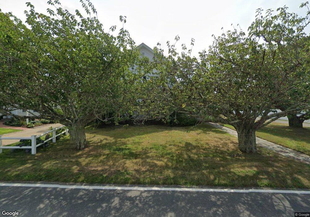
85 Bank St Harwich Port, MA 2646
Harwich Port Neighborhood
6
Beds
6
Baths
3,226
Sq Ft
0.51
Acres
About This Home
This home is located at 85 Bank St, Harwich Port, MA 2646. 85 Bank St is a home located in Barnstable County with nearby schools including Harwich Elementary School, Chatham Elementary School, and Monomoy Regional Middle School.
Create a Home Valuation Report for This Property
The Home Valuation Report is an in-depth analysis detailing your home's value as well as a comparison with similar homes in the area
Home Values in the Area
Average Home Value in this Area
Tax History Compared to Growth
Tax History
| Year | Tax Paid | Tax Assessment Tax Assessment Total Assessment is a certain percentage of the fair market value that is determined by local assessors to be the total taxable value of land and additions on the property. | Land | Improvement |
|---|---|---|---|---|
| 2025 | $6,008 | $1,016,600 | $474,900 | $541,700 |
| 2024 | $5,832 | $967,200 | $448,000 | $519,200 |
| 2023 | $5,681 | $855,500 | $407,300 | $448,200 |
| 2022 | $5,690 | $701,600 | $354,200 | $347,400 |
| 2021 | $5,764 | $670,200 | $322,000 | $348,200 |
| 2020 | $6,264 | $717,500 | $364,800 | $352,700 |
| 2019 | $6,148 | $709,100 | $350,500 | $358,600 |
| 2018 | $5,969 | $658,500 | $318,700 | $339,800 |
| 2017 | $5,606 | $625,000 | $290,400 | $334,600 |
| 2016 | $5,544 | $611,300 | $290,400 | $320,900 |
| 2015 | $5,351 | $596,500 | $284,700 | $311,800 |
| 2014 | $5,115 | $583,200 | $276,200 | $307,000 |
Source: Public Records
Map
Nearby Homes
- 53 Freeman St
- 9 Jason Ln
- 15 Pleasant St Unit W24
- 515 Massachusetts 28
- 515 Route 28
- 23 Zylpha Rd
- 8 Wyndemere Bluffs Rd
- 405 Lower County Rd Unit 21
- 405 Lower County Rd Unit 23
- 15 Shannon Rd
- 820 Massachusetts 28
- 28 Dale Rd
- 8 Old Wharf Rd
- 135 Sisson Rd
- 303 Bank St
- 292 Massachusetts 28 Unit 1
- 292 Massachusetts 28 Unit 7
- 116 Parallel St
- 44 Beriah Brooks Rd
- 106 Chatham Rd