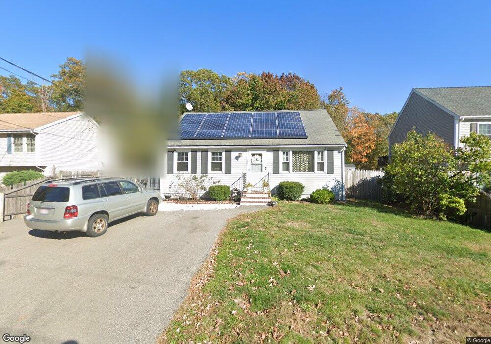
85 Bennett St Brockton, MA 02302
Estimated Value: $480,468 - $656,000
3
Beds
1
Bath
1,394
Sq Ft
$388/Sq Ft
Est. Value
About This Home
This home is located at 85 Bennett St, Brockton, MA 02302 and is currently estimated at $541,367, approximately $388 per square foot. 85 Bennett St is a home located in Plymouth County with nearby schools including Brookfield Elementary School, Mary E. Baker Elementary School, and Downey Elementary School.
Ownership History
Date
Name
Owned For
Owner Type
Purchase Details
Closed on
Dec 20, 2006
Sold by
Louis Yolene
Bought by
Louis Dumond and Louis Yolene
Current Estimated Value
Purchase Details
Closed on
Dec 11, 1998
Sold by
Meritil Jean S and Meritil Marie F
Bought by
Louis Yolene
Purchase Details
Closed on
Aug 22, 1994
Sold by
Passias Fotios
Bought by
Meritil Jean S and Meritil Marie F
Purchase Details
Closed on
Dec 9, 1993
Sold by
Reardon Alton F Est
Bought by
Passias Fotios
Create a Home Valuation Report for This Property
The Home Valuation Report is an in-depth analysis detailing your home's value as well as a comparison with similar homes in the area
Purchase History
| Date | Buyer | Sale Price | Title Company |
|---|---|---|---|
| Louis Dumond | $68,500 | -- | |
| Louis Yolene | $68,500 | -- | |
| Meritil Jean S | $80,000 | -- | |
| Passias Fotios | $16,700 | -- |
Source: Public Records
Mortgage History
| Date | Status | Borrower | Loan Amount |
|---|---|---|---|
| Open | Passias Fotios | $40,000 | |
| Previous Owner | Passias Fotios | $40,000 |
Source: Public Records
Tax History
| Year | Tax Paid | Tax Assessment Tax Assessment Total Assessment is a certain percentage of the fair market value that is determined by local assessors to be the total taxable value of land and additions on the property. | Land | Improvement |
|---|---|---|---|---|
| 2025 | $4,914 | $405,800 | $144,200 | $261,600 |
| 2024 | $4,784 | $398,000 | $144,200 | $253,800 |
| 2023 | $4,565 | $351,700 | $109,000 | $242,700 |
| 2022 | $4,363 | $312,300 | $99,000 | $213,300 |
| 2021 | $4,208 | $290,200 | $92,100 | $198,100 |
| 2020 | $4,257 | $281,000 | $88,400 | $192,600 |
| 2019 | $4,146 | $266,800 | $82,100 | $184,700 |
| 2018 | $3,731 | $232,300 | $82,100 | $150,200 |
| 2017 | $3,505 | $217,700 | $82,100 | $135,600 |
| 2016 | $3,569 | $205,600 | $78,200 | $127,400 |
| 2015 | $3,350 | $184,600 | $78,200 | $106,400 |
| 2014 | $3,301 | $182,100 | $78,200 | $103,900 |
Source: Public Records
Map
Nearby Homes
- 75 Bennett St
- 89 Bennett St
- 65 Bennett St
- 295 E Ashland St
- 319 E Ashland St
- 70 Bennett St
- 61 Bennett St
- 44 Bennett St
- 304 E Ashland St
- 304 E Ashland St Unit 1
- 300 E Ashland St
- 300 E Ashland St Unit 300
- 296 E Ashland St
- 285 E Ashland St
- 40 Bennett St
- 12 Thomas St
- 4 Thomas St
- 290 E Ashland St
- 49 Thayer St
- 30 Bennett St
Your Personal Tour Guide
Ask me questions while you tour the home.