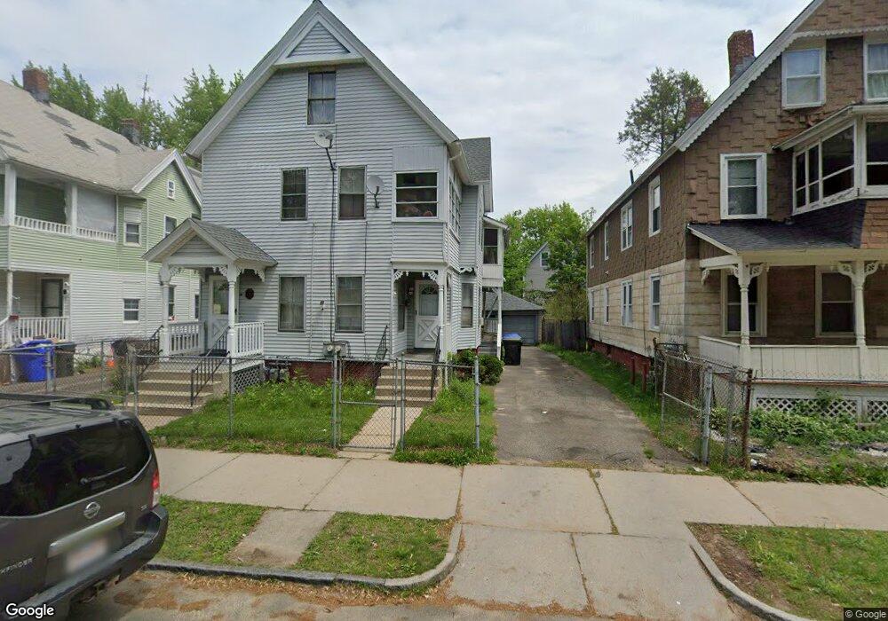
85 Bowles St Springfield, MA 01109
McKnight NeighborhoodEstimated Value: $264,131 - $367,000
5
Beds
3
Baths
2,280
Sq Ft
$141/Sq Ft
Est. Value
About This Home
This home is located at 85 Bowles St, Springfield, MA 01109 and is currently estimated at $321,533, approximately $141 per square foot. 85 Bowles St is a home located in Hampden County with nearby schools including Rebecca M Johnson School, Van Sickle Academy, and High School Of Commerce.
Ownership History
Date
Name
Owned For
Owner Type
Purchase Details
Closed on
Mar 11, 2004
Sold by
Monroe Curtis W
Bought by
Monroe Curtis W and Monroe Kem
Current Estimated Value
Purchase Details
Closed on
May 29, 2003
Sold by
Monroe Margaret M
Bought by
Monroe Curtis W
Create a Home Valuation Report for This Property
The Home Valuation Report is an in-depth analysis detailing your home's value as well as a comparison with similar homes in the area
Home Values in the Area
Average Home Value in this Area
Purchase History
| Date | Buyer | Sale Price | Title Company |
|---|---|---|---|
| Monroe Curtis W | -- | -- | |
| Monroe Curtis W | -- | -- | |
| Monroe Curtis W | -- | -- | |
| Monroe Curtis W | -- | -- |
Source: Public Records
Mortgage History
| Date | Status | Borrower | Loan Amount |
|---|---|---|---|
| Previous Owner | Monroe Curtis W | $35,000 | |
| Previous Owner | Monroe Curtis W | $11,000 |
Source: Public Records
Tax History
| Year | Tax Paid | Tax Assessment Tax Assessment Total Assessment is a certain percentage of the fair market value that is determined by local assessors to be the total taxable value of land and additions on the property. | Land | Improvement |
|---|---|---|---|---|
| 2025 | $2,515 | $160,400 | $24,000 | $136,400 |
| 2024 | $2,640 | $164,400 | $22,400 | $142,000 |
| 2023 | $2,863 | $167,900 | $21,400 | $146,500 |
| 2022 | $2,765 | $146,900 | $19,400 | $127,500 |
| 2021 | $2,682 | $141,900 | $17,700 | $124,200 |
| 2020 | $2,607 | $133,500 | $17,700 | $115,800 |
| 2019 | $2,171 | $110,300 | $15,100 | $95,200 |
| 2018 | $2,147 | $109,100 | $15,100 | $94,000 |
| 2017 | $2,184 | $111,100 | $14,200 | $96,900 |
| 2016 | $1,787 | $90,900 | $14,200 | $76,700 |
| 2015 | $1,715 | $87,200 | $14,200 | $73,000 |
Source: Public Records
Map
Nearby Homes
- 158 Bowles St
- 52-56 Andrew St
- 163 Marion St
- 22-24 Westminster St
- 65 Montrose St
- 145 Cambridge St
- 46 Mapledell St
- 123 Bay St
- 16 Amherst St
- 41 Florida St
- 15 Kenyon St
- 290 Quincy St
- 16 Cambridge St
- 107 Dartmouth St
- 19 Westford Ave
- 21 Clifford St
- 63 Bay St
- 106 Amherst St
- 118 Quincy St
- 393 Saint James Ave
- 81 Bowles St
- 89 Bowles St
- 75 Bowles St
- 77-75 Bowles St
- 77 Bowles St
- 93 Bowles St
- 86 Marion St
- 82 Marion St Unit 84
- 93-91 Bowles St
- 0 W S Bowles St Unit 71186032
- 0 W S Bowles St Unit 71222031
- 0 W S Bowles St Unit 71391887
- 92 Marion St
- 97 Bowles St Unit 99
- 97-99 Bowles St
- 96 Marion St
- 84 Bowles St Unit 86
- 90 Bowles St
- 80 Bowles St
- 94 Bowles St
Your Personal Tour Guide
Ask me questions while you tour the home.