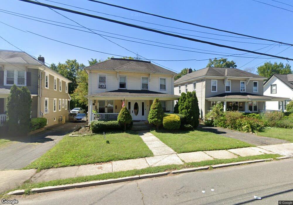
85 Branch Ave Unit 87 Red Bank, NJ 07701
Estimated Value: $693,088 - $886,000
3
Beds
2
Baths
1,140
Sq Ft
$708/Sq Ft
Est. Value
About This Home
This home is located at 85 Branch Ave Unit 87, Red Bank, NJ 07701 and is currently estimated at $806,772, approximately $707 per square foot. 85 Branch Ave Unit 87 is a home located in Monmouth County with nearby schools including Red Bank Primary School, Red Bank Middle School, and Red Bank Regional High School.
Ownership History
Date
Name
Owned For
Owner Type
Purchase Details
Closed on
Jul 29, 1996
Sold by
Means J Thomas
Bought by
Lawrie Brian
Current Estimated Value
Home Financials for this Owner
Home Financials are based on the most recent Mortgage that was taken out on this home.
Original Mortgage
$158,000
Outstanding Balance
$12,556
Interest Rate
8.27%
Estimated Equity
$794,216
Create a Home Valuation Report for This Property
The Home Valuation Report is an in-depth analysis detailing your home's value as well as a comparison with similar homes in the area
Home Values in the Area
Average Home Value in this Area
Purchase History
| Date | Buyer | Sale Price | Title Company |
|---|---|---|---|
| Lawrie Brian | $175,000 | -- |
Source: Public Records
Mortgage History
| Date | Status | Borrower | Loan Amount |
|---|---|---|---|
| Open | Lawrie Brian | $158,000 |
Source: Public Records
Tax History Compared to Growth
Tax History
| Year | Tax Paid | Tax Assessment Tax Assessment Total Assessment is a certain percentage of the fair market value that is determined by local assessors to be the total taxable value of land and additions on the property. | Land | Improvement |
|---|---|---|---|---|
| 2025 | $10,172 | $629,100 | $388,900 | $240,200 |
| 2024 | $10,149 | $538,500 | $307,900 | $230,600 |
| 2023 | $10,149 | $531,100 | $307,900 | $223,200 |
| 2022 | $9,429 | $474,500 | $260,900 | $213,600 |
| 2021 | $9,429 | $421,500 | $226,900 | $194,600 |
| 2020 | $9,190 | $404,500 | $226,900 | $177,600 |
| 2019 | $8,824 | $399,100 | $226,900 | $172,200 |
| 2018 | $8,588 | $392,700 | $226,900 | $165,800 |
| 2017 | $8,265 | $391,700 | $226,900 | $164,800 |
| 2016 | $7,575 | $359,500 | $198,900 | $160,600 |
| 2015 | $9,478 | $466,200 | $266,600 | $199,600 |
| 2014 | $10,022 | $523,900 | $301,000 | $222,900 |
Source: Public Records
Map
Nearby Homes
- 70 Hudson Ave
- 58 Hudson Ave
- 48 Hudson Ave
- 44 Hudson Ave
- 283 Spring St Unit 1C
- 17 Leroy Place Unit 1A
- 17 Leroy Place Unit 2B
- 81 Pinckney Rd
- 4 Manor Dr
- 82 Linden Place
- 59 Leroy Place
- 61 Tower Hill Dr Unit 708
- 69 Washington St
- 83 Tower Hill Dr
- 65 Washington St
- 59 Peters Place
- 23 Wallace St Unit 306
- 21 Washington St
- 30 Crest Dr
- 32 Woodbine Ave
- 87 Branch Ave
- 89 Branch Ave Unit 91
- 79-81 Branch Ave Unit 81
- 79-81 Branch Ave
- 79 Branch Ave Unit 81
- 95 Branch Ave
- 77 Branch Ave
- 99 Branch Ave
- 18 Brown Place
- 73 Branch Ave
- 20 Brown Place
- 33 South St
- 103 Branch Ave Unit 105
- 22 Brown Place
- 84 Branch Ave
- 69 Branch Ave
- 43 South St
- 90 Branch Ave
- 26 Brown Place
- 47 South St