85 Buckhill Rd Albrightsville, PA 18210
Estimated Value: $176,000 - $329,000
3
Beds
1
Bath
792
Sq Ft
$272/Sq Ft
Est. Value
About This Home
This home is located at 85 Buckhill Rd, Albrightsville, PA 18210 and is currently estimated at $215,680, approximately $272 per square foot. 85 Buckhill Rd is a home located in Carbon County with nearby schools including Jim Thorpe Area High School.
Ownership History
Date
Name
Owned For
Owner Type
Purchase Details
Closed on
Nov 15, 2021
Sold by
Porter Grace Ann
Bought by
Porter Grace Ann and Porter Charles S
Current Estimated Value
Purchase Details
Closed on
Mar 13, 2019
Sold by
Porter Charles S and Porter Grace Ann
Bought by
Porter Charles S and Porter Grace Ann
Purchase Details
Closed on
Oct 25, 2000
Bought by
Porter Charles S
Create a Home Valuation Report for This Property
The Home Valuation Report is an in-depth analysis detailing your home's value as well as a comparison with similar homes in the area
Home Values in the Area
Average Home Value in this Area
Purchase History
| Date | Buyer | Sale Price | Title Company |
|---|---|---|---|
| Porter Grace Ann | -- | None Available | |
| Porter Charles S | -- | None Available | |
| Porter Charles S | $72,500 | -- |
Source: Public Records
Tax History Compared to Growth
Tax History
| Year | Tax Paid | Tax Assessment Tax Assessment Total Assessment is a certain percentage of the fair market value that is determined by local assessors to be the total taxable value of land and additions on the property. | Land | Improvement |
|---|---|---|---|---|
| 2025 | $1,664 | $27,050 | $4,050 | $23,000 |
| 2024 | $1,583 | $27,050 | $4,050 | $23,000 |
| 2023 | $1,563 | $27,050 | $4,050 | $23,000 |
| 2022 | $1,563 | $27,050 | $4,050 | $23,000 |
| 2021 | $1,563 | $27,050 | $4,050 | $23,000 |
| 2020 | $1,563 | $27,050 | $4,050 | $23,000 |
| 2019 | $1,509 | $27,050 | $4,050 | $23,000 |
| 2018 | $1,509 | $27,050 | $4,050 | $23,000 |
| 2017 | $1,509 | $27,050 | $4,050 | $23,000 |
| 2016 | -- | $27,050 | $4,050 | $23,000 |
| 2015 | -- | $27,050 | $4,050 | $23,000 |
| 2014 | -- | $27,050 | $4,050 | $23,000 |
Source: Public Records
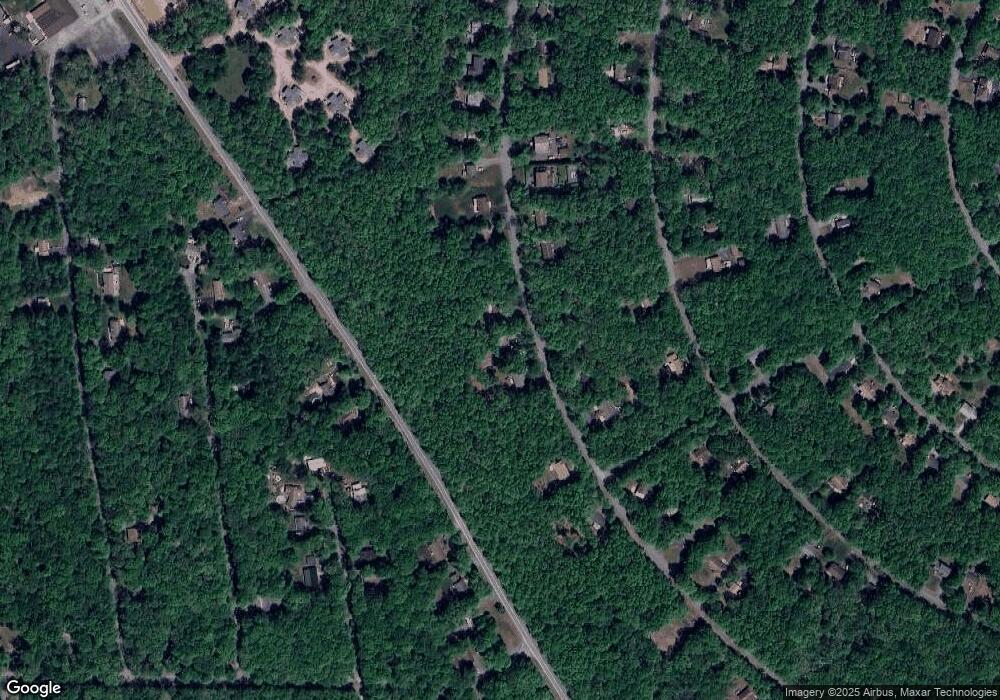
Map
Nearby Homes
- 0 Buckhill Rd Unit PM-121990
- A806 Buckhill Rd
- NII1217 Buckhill Rd
- NII1214 Buckhill Rd
- 113 Lenape Trail
- 48 Buckhill Rd
- 0 Mohawk Trail Unit PM-121856
- 922 Mohawk Trail
- 57 Mohawk Trail
- 313 & 315 Tapuco Dr
- AP17F Navajo Rd
- 0 Tapuco Dr
- 25 Navajo Rd
- 17 Navajo Trail
- 19 Navajo Trail Rd
- 0 Buck Hill Rd Unit 752356
- 85 Shawnee Trail
- 124 Shawnee Trail Unit 1128
- 92 Shawnee Trail
- 30 Lenape Trail
- 87 Buckhill Rd
- 79 Buckhill Rd
- 623 Buckhill Rd
- 622 Buckhill Rd
- 86 Buckhill Rd
- 82 Buckhill Rd
- 72 Buckhill Rd
- 78 Buckhill Rd
- 620 Buckhill # N-1 Rd
- NI133 Buckhill Rd
- 95 Buckhill Rd
- 127 Buckhill Rd
- 94 Buckhill Rd
- 74 Buckhill Rd
- 8 Lots State Route 534
- 96 Buckhill Rd
- 65 Buckhill Rd
- 99 Buckhill Rd
- 0 Buckhill Rd Unit PM-103350
- 0 Buckhill Rd Unit PM-92166