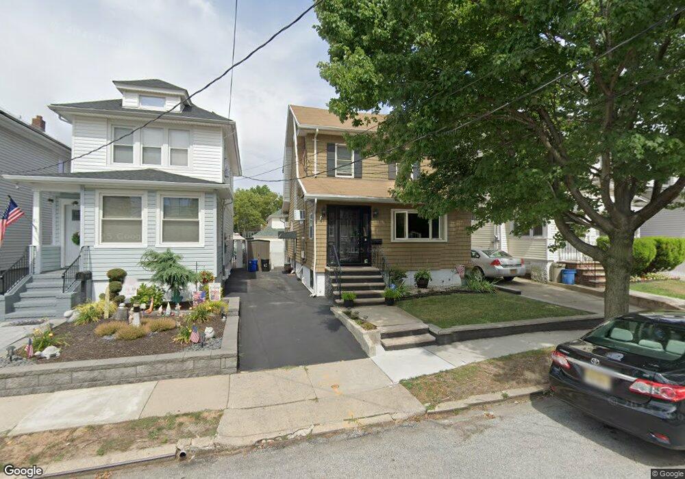
85 Burnside Ave Staten Island, NY 10302
Westerleigh NeighborhoodEstimated Value: $663,367 - $959,000
About This Home
This home is located at 85 Burnside Ave, Staten Island, NY 10302 and is currently estimated at $766,342, approximately $283 per square foot. 85 Burnside Ave is a home located in Richmond County with nearby schools including P.S. 30 Westerleigh, I.S. 51 Edwin Markham, and Port Richmond High School.
Ownership History
We collect this data history from publicly available records. To have your information removed, we recommend requesting removal directly through your county’s website.
Purchase Details
Home Financials for this Owner
Home Financials are based on the most recent Mortgage that was taken out on this home.Home Values in the Area
Average Home Value in this Area
Purchase History
We collect this data history from publicly available records. To have your information removed, we recommend requesting removal directly through your county’s website.
| Date | Buyer | Sale Price | Title Company |
|---|---|---|---|
| $399,999 | Commonwealth Land Title Insu |
Mortgage History
We collect this data history from publicly available records. To have your information removed, we recommend requesting removal directly through your county’s website.
| Date | Status | Borrower | Loan Amount |
|---|---|---|---|
| Open | $100,000 | ||
| Closed | $30,817 | ||
| Previous Owner | $200,000 |
Tax History
We collect this data history from publicly available records. To have your information removed, we recommend requesting removal directly through your county’s website.
| Year | Tax Paid | Tax Assessment Tax Assessment Total Assessment is a certain percentage of the fair market value that is determined by local assessors to be the total taxable value of land and additions on the property. | Land | Improvement |
|---|---|---|---|---|
| 2026 | $5,224 | $42,000 | $8,564 | $33,436 |
| 2025 | $4,916 | $37,620 | $9,317 | $28,303 |
| 2024 | $4,928 | $34,620 | $9,553 | $25,067 |
| 2023 | $4,904 | $25,548 | $8,450 | $17,098 |
| 2022 | $4,526 | $32,100 | $12,780 | $19,320 |
| 2021 | $4,633 | $33,840 | $12,780 | $21,060 |
| 2020 | $4,542 | $31,320 | $12,780 | $18,540 |
| 2019 | $4,218 | $27,240 | $12,780 | $14,460 |
| 2018 | $4,042 | $21,290 | $9,487 | $11,803 |
| 2017 | $3,796 | $20,091 | $10,141 | $9,950 |
| 2016 | $3,597 | $19,545 | $9,419 | $10,126 |
| 2015 | $3,144 | $19,047 | $10,672 | $8,375 |
| 2014 | $3,144 | $17,971 | $11,179 | $6,792 |
Map
- 39 Burnside Ave
- 29 Burnside Ave
- 36 Shaw Place
- 19 Elias Place
- 50 Zachary Ct
- 172-174 Llewellyn Place
- 304 Kingsley Ave
- 309 Maine Ave
- 400 Jewett Ave
- 32 Mundy Ave
- 395 Jewett Ave
- 41 Mundy Ave
- 119 Livermore Ave
- 94 Catherine St
- 219 Kingsley Ave
- 153 Bidwell Ave
- 20 Derby Ct
- 21 Dryden Ct
- 54 Bache St
- 49 Llewellyn Place
- 73 Burnside Ave
- 69 Burnside Ave
- 75 Burnside Ave
- 65 Burnside Ave
- 79 Burnside Ave
- 81 Burnside Ave
- 61 Burnside Ave
- 70 Veltman Ave
- 74 Veltman Ave
- 66 Veltman Ave
- 78 Veltman Ave
- 64 Veltman Ave
- 58 Veltman Ave
- 62 Veltman Ave
- 80 Veltman Ave
- 74 Burnside Ave
- 89 Burnside Ave
- 72 Burnside Ave
- 72 Burnside Ave Unit 1
- 76 Burnside Ave
Ask me questions while you tour the home.