85 Byron Ln Albrightsville, PA 18210
Estimated Value: $265,000 - $326,000
3
Beds
2
Baths
1,404
Sq Ft
$211/Sq Ft
Est. Value
About This Home
This home is located at 85 Byron Ln, Albrightsville, PA 18210 and is currently estimated at $296,678, approximately $211 per square foot. 85 Byron Ln is a home located in Carbon County with nearby schools including Jim Thorpe Area High School.
Ownership History
Date
Name
Owned For
Owner Type
Purchase Details
Closed on
Nov 15, 2024
Sold by
Sipler Barbara
Bought by
Schweitzer Kathy Neumann
Current Estimated Value
Purchase Details
Closed on
Jul 30, 2010
Sold by
Heler Frederick G and Ehler Marie T
Bought by
Sipler Barbara
Home Financials for this Owner
Home Financials are based on the most recent Mortgage that was taken out on this home.
Original Mortgage
$107,680
Interest Rate
4.78%
Mortgage Type
New Conventional
Create a Home Valuation Report for This Property
The Home Valuation Report is an in-depth analysis detailing your home's value as well as a comparison with similar homes in the area
Home Values in the Area
Average Home Value in this Area
Purchase History
| Date | Buyer | Sale Price | Title Company |
|---|---|---|---|
| Schweitzer Kathy Neumann | -- | None Listed On Document | |
| Schweitzer Kathy Neumann | -- | None Listed On Document | |
| Schweitzer Kathy Neumann | -- | None Listed On Document | |
| Sipler Barbara | $134,600 | None Available |
Source: Public Records
Mortgage History
| Date | Status | Borrower | Loan Amount |
|---|---|---|---|
| Previous Owner | Sipler Barbara | $107,680 |
Source: Public Records
Tax History Compared to Growth
Tax History
| Year | Tax Paid | Tax Assessment Tax Assessment Total Assessment is a certain percentage of the fair market value that is determined by local assessors to be the total taxable value of land and additions on the property. | Land | Improvement |
|---|---|---|---|---|
| 2025 | $3,184 | $51,750 | $4,250 | $47,500 |
| 2024 | $3,028 | $51,750 | $4,250 | $47,500 |
| 2023 | $2,990 | $51,750 | $4,250 | $47,500 |
| 2022 | $2,990 | $51,750 | $4,250 | $47,500 |
| 2021 | $2,990 | $51,750 | $4,250 | $47,500 |
| 2020 | $2,990 | $51,750 | $4,250 | $47,500 |
| 2019 | $2,886 | $51,750 | $4,250 | $47,500 |
| 2018 | $2,886 | $51,750 | $4,250 | $47,500 |
| 2017 | $2,886 | $51,750 | $4,250 | $47,500 |
| 2016 | -- | $51,750 | $4,250 | $47,500 |
| 2015 | -- | $51,750 | $4,250 | $47,500 |
| 2014 | -- | $51,750 | $4,250 | $47,500 |
Source: Public Records
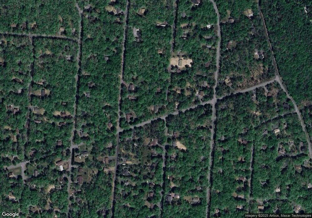
Map
Nearby Homes
- 223 Towamensing Trail
- 0 Eliot Ln
- 174 Teddyuscung Trail
- 222 Keats Ln
- B546 Teddyuscung Trail
- B566 Teddyuscung Trail
- 0 Towamensing Trail & Whitman Ln Unit PM-132609
- 118 Towamensing Trail
- 25 Byron Ln
- 191 Keats Ln
- 289 Towamensing Trail
- 24 Van Doren Mews
- 76 Thomas Ln
- 50 Poe Cir
- A50 Poe Cir
- A7 Dryden Dr
- 1 Dryden Dr
- 161 Keats Ln
- 54 Spencer Ln
- A39 Towamensing Trail Dryden Dr