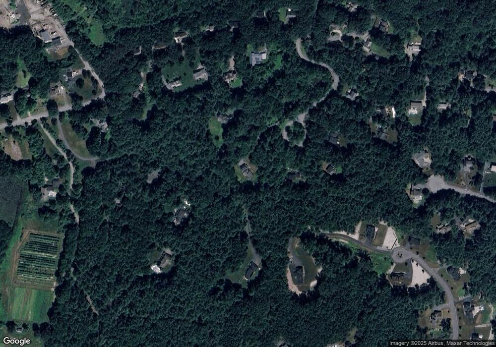
85 Cedarwood Rd Boxborough, MA 01719
Estimated Value: $1,260,548 - $1,548,000
4
Beds
4
Baths
3,805
Sq Ft
$366/Sq Ft
Est. Value
About This Home
This home is located at 85 Cedarwood Rd, Boxborough, MA 01719 and is currently estimated at $1,391,137, approximately $365 per square foot. 85 Cedarwood Rd is a home located in Middlesex County with nearby schools including Acton-Boxborough Regional High School.
Ownership History
Date
Name
Owned For
Owner Type
Purchase Details
Closed on
May 27, 2011
Sold by
Wiederholt Lawrence F
Bought by
Peng Shao Q and Fang Yi L
Current Estimated Value
Home Financials for this Owner
Home Financials are based on the most recent Mortgage that was taken out on this home.
Original Mortgage
$520,000
Interest Rate
4.94%
Mortgage Type
Purchase Money Mortgage
Purchase Details
Closed on
Jul 28, 1995
Sold by
Chisholm William D
Bought by
Wiederholt Lawrence F and Wiederholt Elizabeth A
Create a Home Valuation Report for This Property
The Home Valuation Report is an in-depth analysis detailing your home's value as well as a comparison with similar homes in the area
Home Values in the Area
Average Home Value in this Area
Purchase History
| Date | Buyer | Sale Price | Title Company |
|---|---|---|---|
| Peng Shao Q | $765,000 | -- | |
| Wiederholt Lawrence F | $485,900 | -- |
Source: Public Records
Mortgage History
| Date | Status | Borrower | Loan Amount |
|---|---|---|---|
| Open | Wiederholt Lawrence F | $465,750 | |
| Closed | Wiederholt Lawrence F | $58,000 | |
| Closed | Peng Shao Q | $520,000 | |
| Previous Owner | Wiederholt Lawrence F | $250,000 |
Source: Public Records
Tax History Compared to Growth
Tax History
| Year | Tax Paid | Tax Assessment Tax Assessment Total Assessment is a certain percentage of the fair market value that is determined by local assessors to be the total taxable value of land and additions on the property. | Land | Improvement |
|---|---|---|---|---|
| 2025 | $18,076 | $1,193,900 | $332,000 | $861,900 |
| 2024 | $16,714 | $1,115,000 | $320,000 | $795,000 |
| 2023 | $16,010 | $1,031,600 | $276,700 | $754,900 |
| 2022 | $15,262 | $876,100 | $276,700 | $599,400 |
| 2020 | $13,702 | $819,500 | $276,700 | $542,800 |
| 2019 | $13,456 | $819,500 | $276,700 | $542,800 |
| 2018 | $12,813 | $779,400 | $264,700 | $514,700 |
| 2017 | $3,387 | $770,500 | $264,700 | $505,800 |
| 2016 | $12,484 | $763,100 | $275,500 | $487,600 |
| 2015 | $13,015 | $781,700 | $275,400 | $506,300 |
| 2014 | $13,069 | $738,800 | $272,700 | $466,100 |
Source: Public Records
Map
Nearby Homes
- 96 Cedarwood Rd
- 30 Paul Revere Rd
- 134 Russet Ln
- 68 Macintosh Ln
- 12 Olde Lantern Rd
- 777 Depot Rd
- 92 Willow St Unit 3
- 92 Willow St Unit 2
- 90 Willow St Unit 1
- 1155 Burroughs Rd
- 207 Boxboro Rd
- 139 Picnic St
- 285 Central St Unit 285
- 5 Elm St Unit 1
- 9 Elm St Unit 1
- 89 Windsor Ave
- 31 Mohawk Dr
- 4,7,8 Crestwood Ln
- 62 Waite Rd
- 30-6 Taylor Rd
- 104 Cedarwood Rd
- 104 Cedarwood Rd Unit 104
- 59 Cedarwood Rd
- 352 Burroughs Rd
- 80 Cedarwood Rd
- 350 Burroughs Rd
- 246 Burroughs Rd
- 246 Burroughs Rd Unit 246A
- 260 Burroughs Rd
- 162 Taylor Farm Rd
- 276 Burroughs Rd
- 228 Burroughs Rd
- 228 Burroughs Rd Unit rear
- 354 Burroughs Rd
- 308 Burroughs Rd
- 159 Taylor Farm Rd
- 40 Cedarwood Rd
- 64 Cedarwood Rd
- 215 Burroughs Rd
- 231 Burroughs Rd
