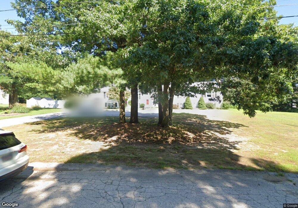
85 Clark Rd Wrentham, MA 02093
Estimated Value: $333,993 - $415,000
2
Beds
1
Bath
936
Sq Ft
$406/Sq Ft
Est. Value
About This Home
This home is located at 85 Clark Rd, Wrentham, MA 02093 and is currently estimated at $379,998, approximately $405 per square foot. 85 Clark Rd is a home located in Norfolk County with nearby schools including Delaney Elementary School, Charles E Roderick, and Discovery Daycare Center.
Ownership History
Date
Name
Owned For
Owner Type
Purchase Details
Closed on
Oct 30, 1996
Sold by
Mellen Robert F and Mellen James E
Bought by
Johnson Ronald R and Johnson Hheike
Current Estimated Value
Home Financials for this Owner
Home Financials are based on the most recent Mortgage that was taken out on this home.
Original Mortgage
$110,160
Interest Rate
8.07%
Mortgage Type
Purchase Money Mortgage
Purchase Details
Closed on
Jun 30, 1989
Sold by
Volpicelli Joseph A
Bought by
Mellen Robert F
Create a Home Valuation Report for This Property
The Home Valuation Report is an in-depth analysis detailing your home's value as well as a comparison with similar homes in the area
Purchase History
| Date | Buyer | Sale Price | Title Company |
|---|---|---|---|
| Johnson Ronald R | $108,000 | -- | |
| Mellen Robert F | $139,900 | -- |
Source: Public Records
Mortgage History
| Date | Status | Borrower | Loan Amount |
|---|---|---|---|
| Open | Mellen Robert F | $21,000 | |
| Open | Mellen Robert F | $113,068 | |
| Closed | Mellen Robert F | $112,760 | |
| Closed | Mellen Robert F | $110,160 |
Source: Public Records
Tax History
| Year | Tax Paid | Tax Assessment Tax Assessment Total Assessment is a certain percentage of the fair market value that is determined by local assessors to be the total taxable value of land and additions on the property. | Land | Improvement |
|---|---|---|---|---|
| 2025 | $3,492 | $301,300 | $0 | $301,300 |
| 2024 | $3,616 | $301,300 | $0 | $301,300 |
| 2023 | $3,884 | $307,800 | $0 | $307,800 |
| 2022 | $3,561 | $260,500 | $0 | $260,500 |
| 2021 | $3,396 | $241,400 | $0 | $241,400 |
| 2020 | $3,310 | $232,300 | $0 | $232,300 |
| 2019 | $3,280 | $232,300 | $0 | $232,300 |
| 2018 | $3,335 | $234,200 | $0 | $234,200 |
| 2017 | $3,211 | $225,300 | $0 | $225,300 |
| 2016 | $3,130 | $219,200 | $0 | $219,200 |
| 2015 | $2,752 | $183,700 | $0 | $183,700 |
| 2014 | $2,812 | $183,700 | $0 | $183,700 |
Source: Public Records
Map
Nearby Homes
- 15 Tilting Rock Rd
- 35 Fairbanks Dr
- 282 Thurston St
- 151 Dedham St
- 10 Nature View Dr
- 15 Nature View Dr
- 483 Thurston St
- 135 Creek St Unit 2
- 3 Earle Stewart Ln
- 576 Dedham St
- 2 Earle Stewart Ln
- 12 Earle Stewart Ln
- 10 Earle Stewart Ln Unit Lot 5
- 1 Weber Farm Rd Unit 1
- 4 Weber Farm Rd Unit 4
- 6 Weber Farm Rd Unit 6
- 11 Weber Farm Rd Unit 11
- 8 Weber Farm Rd Unit 8
- 25 Foxboro Rd
- 55 Walnut Rd
- 65 Clark Rd
- 75 Clark Rd
- 55 Clark Rd
- 45 Clark Rd
- 35 Clark Rd
- 35 Clark Rd Unit A,M-2
- 30 Hidden Meadows Ln
- 20 Hidden Meadows Ln
- 20 Hidden Meadows Ln Unit LANE
- 30 Clark Rd
- 40 Clark Rd
- 50 Clark Rd
- 30 Clark Rd Unit C
- 30 Clark Rd Unit 30
- 115 Clark Rd
- 115 Clark Rd Unit 115
- 60 Clark Rd
- 70 Clark Rd
- 80 Clark Rd
- 80 Clark Rd Unit 1
Your Personal Tour Guide
Ask me questions while you tour the home.