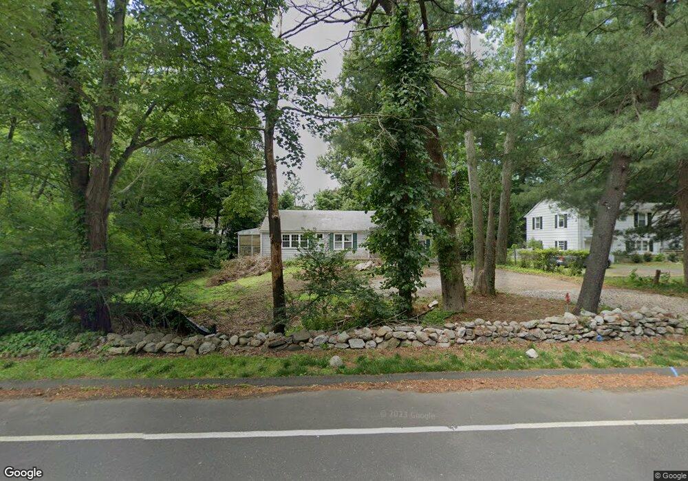
85 Compo Rd N Westport, CT 06880
Westport Village NeighborhoodEstimated Value: $1,886,000 - $2,411,000
2
Beds
2
Baths
1,232
Sq Ft
$1,680/Sq Ft
Est. Value
About This Home
This home is located at 85 Compo Rd N, Westport, CT 06880 and is currently estimated at $2,069,870, approximately $1,680 per square foot. 85 Compo Rd N is a home located in Fairfield County with nearby schools including Saugatuck Elementary School, Bedford Middle School, and Staples High School.
Ownership History
Date
Name
Owned For
Owner Type
Purchase Details
Closed on
Sep 16, 2025
Sold by
J H Builders Llc
Bought by
Mansoori Alia and Grau Ulrik
Current Estimated Value
Home Financials for this Owner
Home Financials are based on the most recent Mortgage that was taken out on this home.
Original Mortgage
$1,325,000
Outstanding Balance
$1,317,857
Interest Rate
5.63%
Mortgage Type
Future Advance Clause Open End Mortgage
Estimated Equity
$752,013
Purchase Details
Closed on
Feb 3, 1997
Sold by
Laidler Eugenie
Bought by
Folsom Janis
Create a Home Valuation Report for This Property
The Home Valuation Report is an in-depth analysis detailing your home's value as well as a comparison with similar homes in the area
Home Values in the Area
Average Home Value in this Area
Purchase History
| Date | Buyer | Sale Price | Title Company |
|---|---|---|---|
| Mansoori Alia | $1,900,850 | -- | |
| Folsom Janis | $274,750 | -- | |
| Folsom Janis | $274,750 | -- |
Source: Public Records
Mortgage History
| Date | Status | Borrower | Loan Amount |
|---|---|---|---|
| Open | Mansoori Alia | $1,325,000 | |
| Previous Owner | Folsom Janis | $110,000 | |
| Previous Owner | Folsom Janis | $125,000 | |
| Previous Owner | Folsom Janis | $155,000 |
Source: Public Records
Tax History
| Year | Tax Paid | Tax Assessment Tax Assessment Total Assessment is a certain percentage of the fair market value that is determined by local assessors to be the total taxable value of land and additions on the property. | Land | Improvement |
|---|---|---|---|---|
| 2025 | $18,751 | $994,200 | $358,100 | $636,100 |
| 2024 | $6,668 | $358,100 | $358,100 | $0 |
| 2023 | $7,371 | $401,700 | $358,100 | $43,600 |
| 2022 | $7,259 | $401,700 | $358,100 | $43,600 |
| 2021 | $7,259 | $401,700 | $358,100 | $43,600 |
| 2020 | $5,617 | $435,600 | $367,600 | $68,000 |
| 2019 | $7,344 | $435,600 | $367,600 | $68,000 |
| 2018 | $7,344 | $435,600 | $367,600 | $68,000 |
| 2017 | $5,390 | $435,600 | $367,600 | $68,000 |
| 2016 | $7,344 | $435,600 | $367,600 | $68,000 |
| 2015 | $7,176 | $396,700 | $296,700 | $100,000 |
| 2014 | $7,117 | $396,700 | $296,700 | $100,000 |
Source: Public Records
Map
Nearby Homes
- 80 Compo Rd N
- 15 Gorham Ave
- 140 Roseville Rd
- 4 Woods Grove Rd
- 20 Woods Grove Rd
- 118 Roseville Rd
- 116 Roseville Rd
- 53 Cross Hwy
- 26 Crescent Park Rd
- 25 Maplewood Ave
- 9 Crescent Park Rd
- 25 Oak St
- 483 Main St
- 41 Richmondville Ave Unit 104
- 41 Richmondville Ave Unit Duplex 2
- 41 Richmondville Ave Unit Duplex 1
- 41 Richmondville Ave Unit 111
- 41 Richmondville Ave Unit 101
- 41 Richmondville Ave Unit 105
- 60 Wilton Rd Unit 2C
Your Personal Tour Guide
Ask me questions while you tour the home.